Marker Logo HMdb.org THE HISTORICAL
MARKER DATABASE
“Bite-Size Bits of Local, National, and Global History”
Near Lyndhurst in Augusta County, Virginia — The American South (Mid-Atlantic)
 

Stone Fences


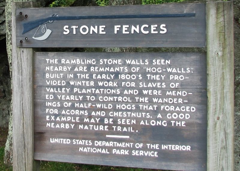
Stone Fences Marker image. Click for full size.
Photographed By Cosmos Mariner, July 9, 2009
1. Stone Fences Marker
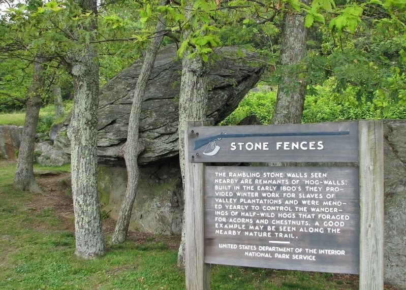
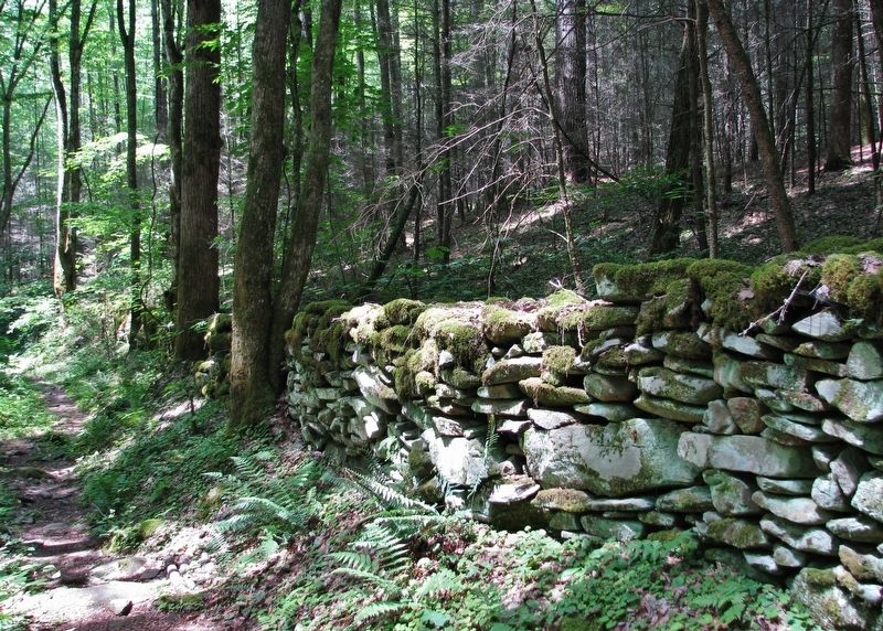
Inscription. The rambling stone walls seen nearby are remnants of “hog-walls.” Built in the early 1800’s they provided winter work for slaves of valley plantations and were mended yearly to control the wanderings of half-wild hogs that foraged for acorns and chestnuts. A good example may be seen along the nearby nature trail.
 
Erected by National Park Service, United States Department of the Interior.
 
Topics. This historical marker is listed in these topic lists: African AmericansParks & Recreational AreasSettlements & Settlers.
 
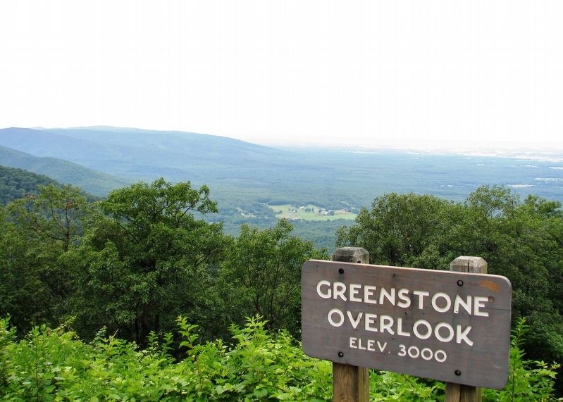
Location. 37° 56.829′ N, 78° 55.673′ W. Marker is near Lyndhurst, Virginia, in Augusta County. Marker can be reached from Blue Ridge Parkway (at milepost 8.8). Marker is located at the Blue Ridge Parkway Greenstone Overlook. Touch for map. Marker is in this post office area: Lyndhurst VA 22952, United States of America. Touch for directions.
 
Other nearby markers. At least 8 other markers are within 6 miles of this marker, measured as the crow flies. Crop Protection from Predators (approx. 2.3 miles away); The Mountain Economy (approx. 2.3 miles away); Subsistence and Survival (approx. 2.3 miles away); Everyday Hard Work - Year Round (approx. 2.3 miles away); Mountain Farms: A Way of Life (approx. 2.3 miles
Paid Advertisement
Click on the ad for more information.
Please report objectionable advertising to the Editor.
Click or scan to see
this page online
away); Hurricane Camille (approx. 4.8 miles away); William H. Crawford (approx. 4.9 miles away); Rockfish Church (approx. 5.1 miles away). Touch for a list and map of all markers in Lyndhurst.
 
Stone Fences Marker image. Click for full size.
Photographed By Cosmos Mariner, July 9, 2009
2. Stone Fences Marker
Greenstone Trail Sign image. Click for full size.
Photographed By Cosmos Mariner, July 9, 2009
3. Greenstone Trail Sign
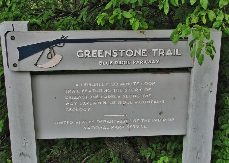
(nearby geologic & nature trail)
A leisurely 20 minute loop trail featuring the story of Greenstone. Labels along the way explain Blue Ridge Mountains geology.
Stone “hog-wall” Fence image. Click for full size.
Photographed By Cosmos Mariner, July 25, 2009
4. Stone “hog-wall” Fence
Greenstone Overlook image. Click for full size.
Photographed By Cosmos Mariner, July 9, 2009
5. Greenstone Overlook
(stop here to access marker)
 
 
Credits. This page was last revised on December 2, 2020. It was originally submitted on December 2, 2020, by Cosmos Mariner of Cape Canaveral, Florida. This page has been viewed 581 times since then and 110 times this year. Photos:   1, 2, 3, 4, 5. submitted on December 2, 2020, by Cosmos Mariner of Cape Canaveral, Florida.
Share this page.  
Share on Tumblr
m=161496

CeraNet Cloud Computing sponsors the Historical Marker Database.
This website earns income from purchases you make after using our links to Amazon.com. We appreciate your support.
Paid Advertisement
May. 7, 2024