
Bancroft in Cuming County, Nebraska — The American Midwest (Upper Plains)
John G. Neihardt Study
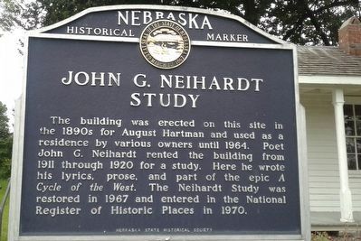
Photographed by Craig Doda, August 31, 2018
1. John G. Neihardt Study Marker
Erected by Nebraska State Historical Society. (Marker Number 291.)
Topics and series. This historical marker is listed in these topic lists: Architecture • Arts, Letters, Music. In addition, it is included in the Nebraska State Historical Society series list. A significant historical year for this entry is 1964.
Location. 42° 0.667′ N, 96° 34.633′ W. Marker is in Bancroft, Nebraska, in Cuming County. It is at the intersection of Elm Street and Washington Street, on the left when traveling west on Elm Street. Touch for map. Marker is at or near this postal address: 306 Elm St, Bancroft NE 68004, United States of America. Touch for directions.

Regionally, this marker is in Eastern Nebraska. It is also in the American Midwest,
this page online
Other nearby markers. At least 8 other markers are within 14 miles of this marker, measured as the crow flies: John G. Neihardt Center (within shouting distance of this marker); M60A3 Tank (about 800 feet away, measured in a direct line); Bancroft (approx. 0.9 miles away); Lyons (approx. 7.1 miles away); Susan LaFlesche Picotte Memorial Hospital (approx. 10.6 miles away); a different marker also named Susan LaFlesche Picotte Memorial Hospital (approx. 11 miles away); Victor Colson Homestead (approx. 12½ miles away); Governor Frederick Valdemar Erastus Peterson (approx. 13½ miles away). Touch for a list and map of all markers in Bancroft.
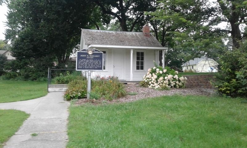
Photographed by Craig Doda, August 31, 2018
2. John G. Neihardt Study Marker
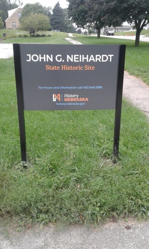
Photographed by Craig Doda, August 31, 2018
3. John G. Neihardt Study Marker
Credits. This page was last revised on June 19, 2021. It was originally submitted on December 3, 2020, by Craig Doda of Napoleon, Ohio. This page has been viewed 277 times since then and 21 times this year. Photos: 1, 2, 3. submitted on December 3, 2020, by Craig Doda of Napoleon, Ohio. • Devry Becker Jones was the editor who published this page.
