Iroquois Park in Louisville in Jefferson County, Kentucky — The American South (East South Central)
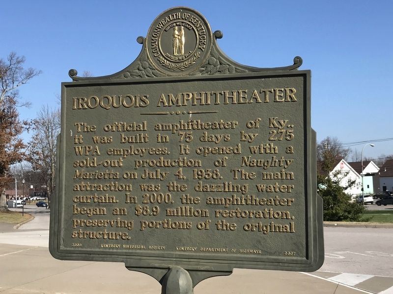
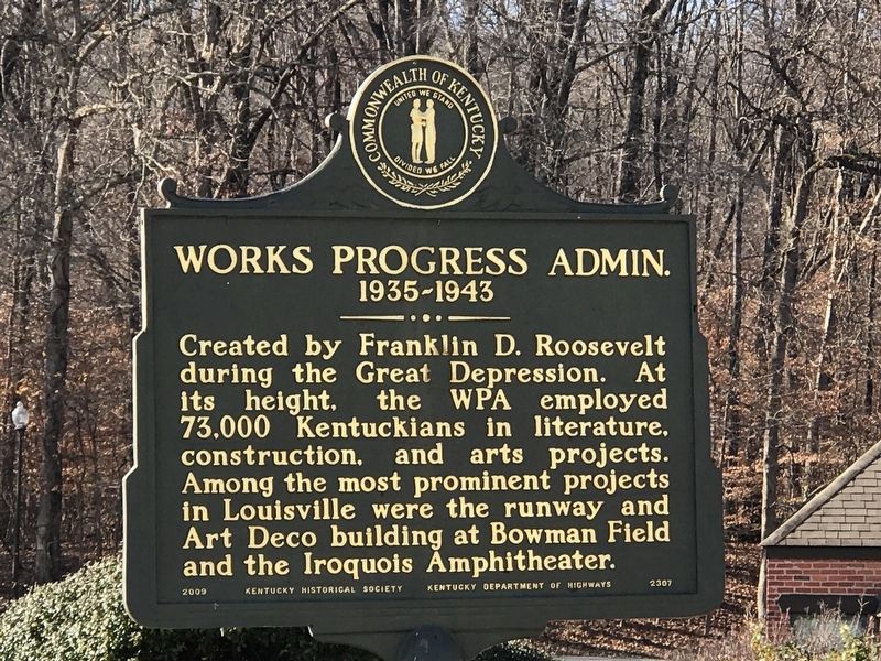
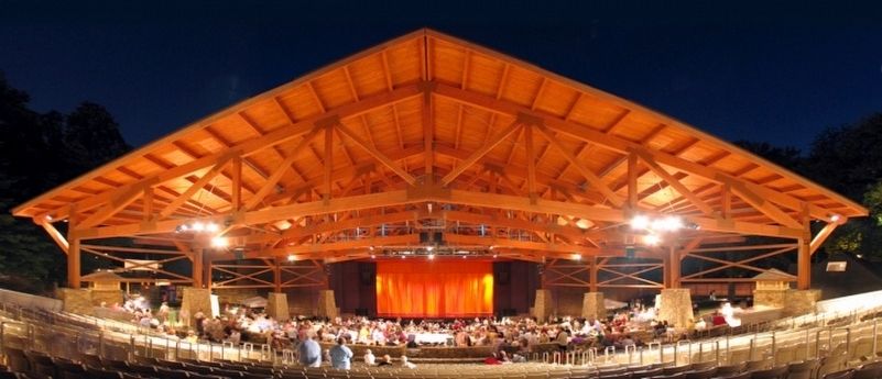
Iroquois Amphitheater / Works Progress Admin., 1935-1943
1935-1943
Erected 2009 by Kentucky Historical Society and Kentucky Department of Highways. (Marker Number 2307.)
Topics and series. This historical marker is listed in these topic lists: Charity & Public Work • Entertainment • Parks & Recreational Areas. In addition, it is included in the Kentucky Historical Society series list. A significant historical date for this entry is July 4, 1938.
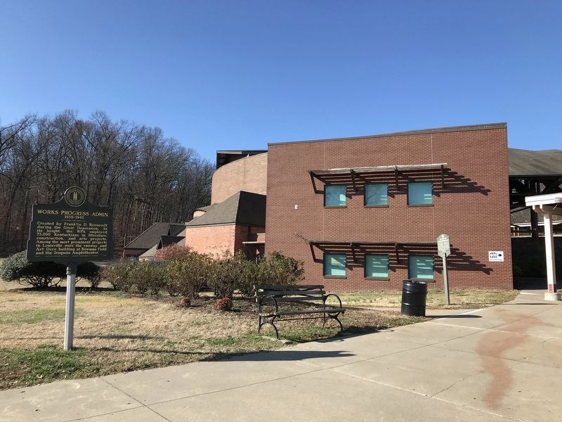
Location. 38° 9.599′ N, 85° 46.779′ W. Marker is in Louisville, Kentucky, in Jefferson County. It is in Iroquois Park. Marker is at the intersection of Amphitheater Road and Golf Drive, on the right when traveling south on Amphitheater Road. Marker and amphitheater are in Iroquois Park. Touch for map. Marker is at or near this postal address: 1080 Amphitheater Road, Louisville KY 40214, United States of America. Touch for directions.
Other nearby markers. At least 8 other markers are within 3 miles of this marker, measured as the crow flies. The Little Loomhouse / Happy Birthday to You (approx. 0.4 miles away); Southern Parkway / Iroquois Park (approx. 0.7 miles away); Kenwood Drive-In (approx. 0.9 miles away); Naval Ordnance Plant / Naval Ordnance Station, "Gunsmith to the Navy" (approx. one mile away); Fenley Family / Fenley Family Cemetery (approx. 1.3 miles away); Douglas Park Racetrack (approx. 1.6 miles away); Wisertown / St. Andrew's Church Road (approx. 1.8 miles away); St. Andrew's Catholic Church / Early Catholic Church (approx. 2.2 miles away). Touch for a list and map of all markers in Louisville.
Credits. This page was last revised on February 12, 2023. It was originally submitted on December 3, 2020, by Duane and Tracy Marsteller of Murfreesboro, Tennessee. This page has been viewed 259 times since then and 28 times this year. Photos: 1, 2, 3, 4. submitted on December 3, 2020, by Duane and Tracy Marsteller of Murfreesboro, Tennessee.


