Louisville in Jefferson County, Kentucky — The American South (East South Central)
Rosa Phillips Stonestreet
1859-1936
Inscription.
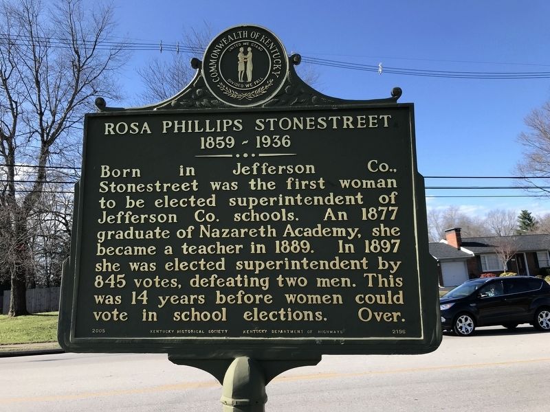
Born in Jefferson Co., Stonestreet was the first woman to be elected superintendent of Jefferson Co. schools. An 1877 graduate of Nazareth Academy, she became a teacher in 1889. In 1897 she was elected superintendent by 845 votes, defeating two men. This was 14 years before women could vote in school elections.
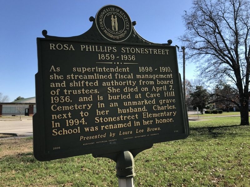
As superintendent 1898-1910, she streamlined fiscal management and shifted authority from board of trustees. She died on April 7, 1936, and is buried at Cave Hill Cemetery in an unmarked grave next to her husband, Charles. In 1994, Stonestreet Elementary School was renamed in her honor.
Erected 2005 by Kentucky Historical Society and Kentucky Department of Highways. (Marker Number 2196.)
Topics and series. This historical marker is listed in these topic lists: Education • Women. In addition, it is included in the Kentucky Historical Society series list. A significant historical year for this entry is 1859.
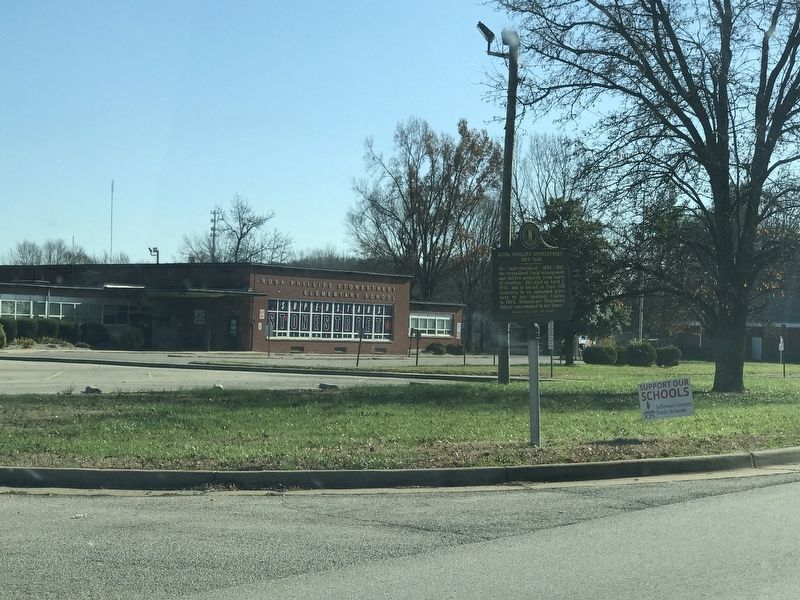
Location. 38° 6.568′ N, 85° 50.135′ W. Marker is in Louisville, Kentucky, in Jefferson County. Marker is on Stonestreet Road, on the right when traveling north. Marker is in front of Stonestreet Elementary School. Touch for map. Marker is at or near this postal address: 10007 Stonestreet Road, Louisville KY 40272, United States of America. Touch for directions.
Other nearby markers. At least 8 other markers are within 5 miles of this marker, measured as the crow flies. St. Andrew's Catholic Church / Early Catholic Church (approx. 2.7 miles away); Wisertown / St. Andrew's Church Road (approx. 3.4 miles away); Farnsley-Moremen House (approx. 3.4 miles away); Native American Indian Levee (approx. 3˝ miles away); Fenley Family / Fenley Family Cemetery (approx. 3.8 miles away); Lewis and Clark in Kentucky Field Brothers (approx. 4 miles away); Samuels Property Added to the Jefferson Memorial Forest (approx. 4.2 miles away); Iroquois Amphitheater / Works Progress Admin., 1935-1943 (approx. 4.6 miles away). Touch for a list and map of all markers in Louisville.
Also see . . . Rosa Phillips Stonestreet, 1859-1936. From Kentucky Historical Society's Explore KY History program. (Submitted on December 4, 2020, by Duane and Tracy Marsteller of Murfreesboro, Tennessee.)
Credits. This page was last revised on December 4, 2020. It was originally submitted on December 4, 2020, by Duane and Tracy Marsteller of Murfreesboro, Tennessee. This page has been viewed 159 times since then and 13 times this year. Photos: 1, 2, 3. submitted on December 4, 2020, by Duane and Tracy Marsteller of Murfreesboro, Tennessee.


