Cherokee Triangle in Louisville in Jefferson County, Kentucky — The American South (East South Central)
Louisville Legion
Photographed by Duane and Tracy Marsteller, November 27, 2020
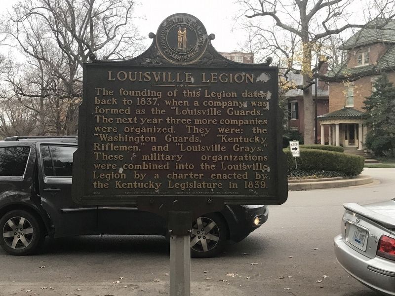
1. Louisville Legion Marker (Side A)
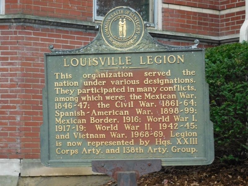
This organization served the nation under various designations. They participated in many conflicts, among which were: the Mexican War, 1846-47; the Civil War, 1861-64; Spanish-American War, 1898-99; Mexican Border, 1916; World War I, 1917-19; World War II, 1942-45; and Vietnam War, 1968-69. Legion is now represented by Hqs. XXIII Corps Arty. and 138th Arty. Group.
Erected 1978 by Kentucky Historical Society and Kentucky Department of Transportation. (Marker Number 1589.)
Topics and series. This historical marker is listed in this topic list: Military. In addition, it is included in the Kentucky Historical Society series list. A significant historical year for this entry is 1837.
Location. 38° 14.116′ N, 85° 42.766′ W. Marker is in Louisville, Kentucky, in Jefferson
this page online

Regionally, this marker is in the American South, specifically in the Upper South, and in the Ohio River Valley. Globally, it is in North America, the Western Hemisphere, the Western World, and the Anglosphere. Historically, it finds itself in what was once the territory of the Mississippian Culture and also the Antebellum South.
Other nearby markers. At least 8 other markers are within walking distance of this marker: Steam Engine Company No. 20 (about 500 feet away, measured in a direct line); Highland Mothers Club / Mary Katherine Lee (Mrs. Robert A.) 1862-1947 (about 700 feet away); St. James Roman Catholic Church (approx. 0.2 miles away); Enid Yandell (1869-1934) / Renowned Woman Sculptor (approx. half a mile away); Highlands Neighborhood (approx. 0.6 miles away); Artist of Confederacy (approx. 0.6 miles
Photographed by Duane and Tracy Marsteller, November 27, 2020
2. Louisville Legion Marker (Side B)
Photographed by Duane and Tracy Marsteller, November 27, 2020
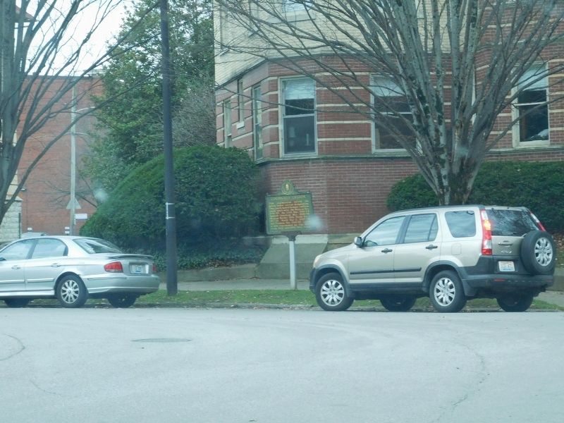
3. Louisville Legion Marker
Credits. This page was last revised on February 12, 2023. It was originally submitted on December 5, 2020, by Duane and Tracy Marsteller of Murfreesboro, Tennessee. This page has been viewed 390 times since then and 22 times this year. Photos: 1, 2, 3. submitted on December 5, 2020, by Duane and Tracy Marsteller of Murfreesboro, Tennessee.
