Louisville in Jefferson County, Kentucky — The American South (East South Central)
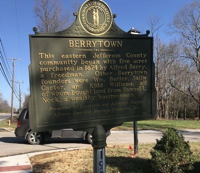
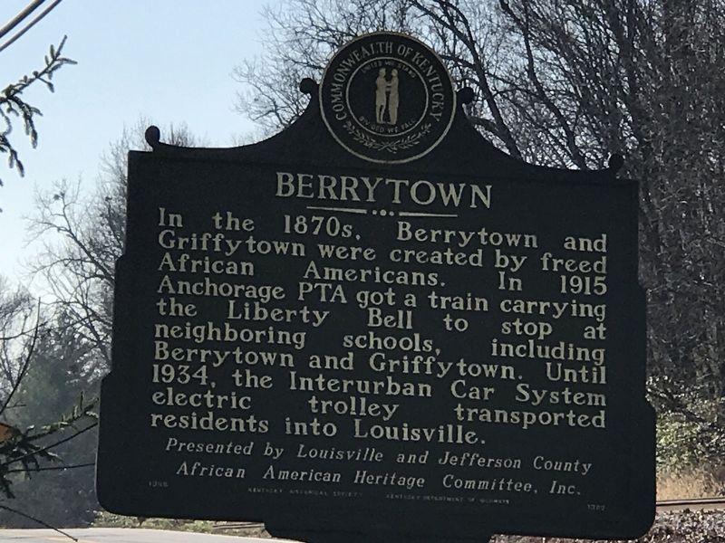
Berrytown
In the 1870s, Berrytown and Griffytown were created by freed African Americans. In 1915 Anchorage PTA got a train carrying the Liberty Bell to stop at neighboring schools, including Berrytown and Griffytown. Until 1934, the Interurban Car System electric trolley transported residents into Louisville.
African American Heritage Committee, Inc.
Erected 1996 by Kentucky Historical Society and Kentucky Department of Highways. (Marker Number 1982.)
Topics and series. This historical marker is listed in these topic lists: African Americans • Railroads & Streetcars • Settlements & Settlers. In addition, it is included in the Kentucky Historical Society series list. A significant historical year for this entry is 1874.
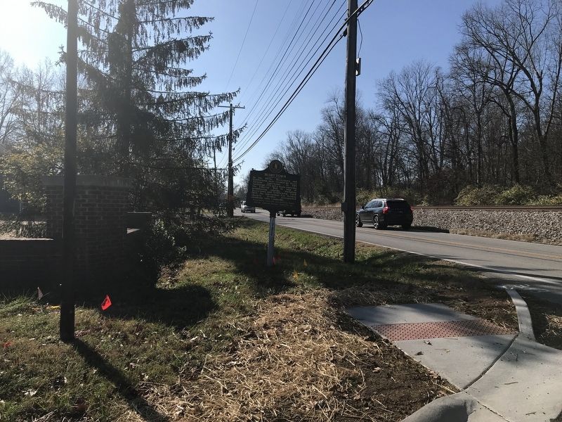
Location. 38° 16.025′ N, 85° 31.531′ W. Marker is in Louisville, Kentucky, in Jefferson County. Marker is at the intersection of La Grange Road (State Road 146) and Heafer Road, on the right when traveling north on La Grange Road. Touch for map. Marker is in this post office area: Louisville KY 40223, United States of America. Touch for directions.
Other nearby markers. At least 8 other markers are within 2 miles of this marker, measured as the crow flies. Forest Public School (about 500 feet away, measured in a direct line); Berrytown Cemetery (approx. 0.3 miles away); Isaac Hite's Home / Isaac Hite (approx. ¾ mile away); Newland Log House (approx. ¾ mile away); Griffytown (approx. 1½ miles away); Joseph Abell House (approx. 1.6 miles away); Gov. Lawrence Wetherby Statue (approx. 1.6 miles away); William Bull House (approx. 1.6 miles away). Touch for a list and map of all markers in Louisville.
Also see . . . Berrytown. From Kentucky Historical Society's Explore KY History program. (Submitted on December 6, 2020, by Duane and Tracy Marsteller of Murfreesboro, Tennessee.)
Credits. This page was last revised on December 6, 2020. It was originally submitted on December 5, 2020, by Duane and Tracy Marsteller of Murfreesboro, Tennessee. This page has been viewed 415 times since then and 49 times this year. Photos: 1, 2. submitted on December 5, 2020, by Duane and Tracy Marsteller of Murfreesboro, Tennessee. 3. submitted on December 6, 2020, by Duane and Tracy Marsteller of Murfreesboro, Tennessee.


