Middletown in Jefferson County, Kentucky — The American South (East South Central)
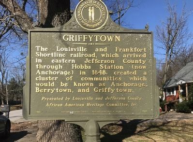
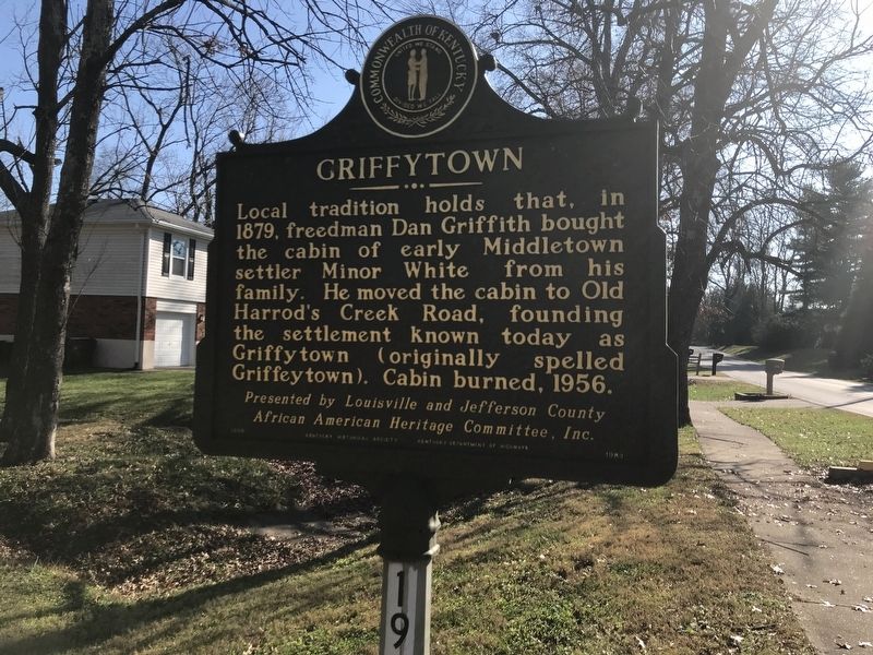
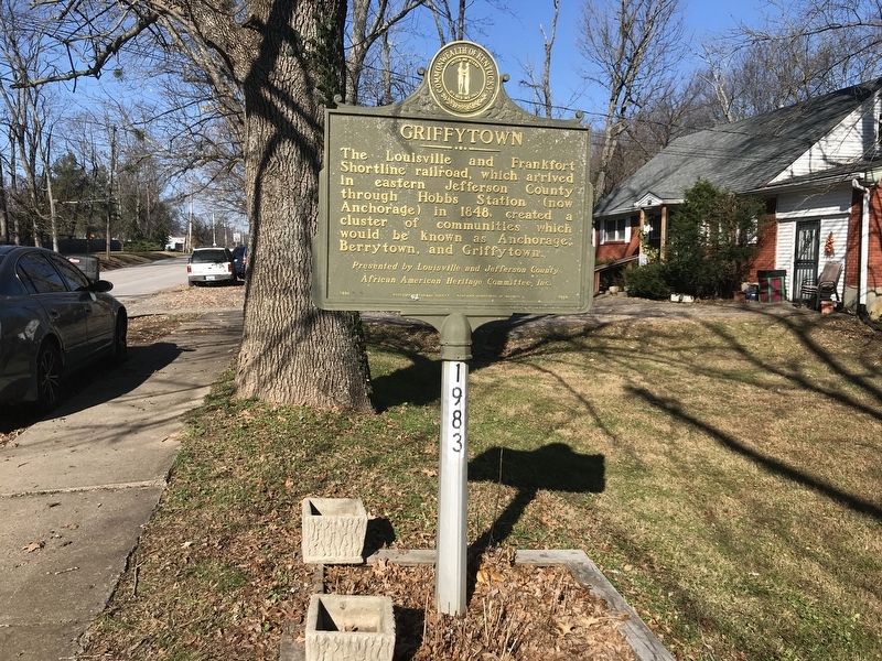
Griffytown
Local tradition holds that, in 1879, freedman Dan Griffith bought the cabin of early Middletown settler Minor White from his family. He moved the cabin to Old Harrod's Creek Road, founding the settlement known today as Griffytown (originally spelled Griffeytown). Cabin burned, 1956.
African American Heritage Committee, Inc.
Erected 1996 by Kentucky Historical Society and Kentucky Department of Highways. (Marker Number 1983.)
Topics and series. This historical marker is listed in these topic lists: African Americans • Railroads & Streetcars • Settlements & Settlers. In addition, it is included in the Kentucky Historical Society series list. A significant historical year for this entry is 1848.
Location. 38° 15.053′ N, 85° 32.649′ W. Marker is in Middletown, Kentucky, in Jefferson County. Marker is on Old Harrods Creek Road, 0.1 miles north of Willow Stone Way, on the right when traveling north. Touch for map . Marker is at or near this postal address: 401 Old Harrods Creek Road, Louisville KY 40223, United States of America. Touch for directions.
Other nearby markers. At least 8 other markers are within walking distance of this marker. The Benjamin Head House (approx. 0.4 miles away); Arterburn House (approx. 0.4 miles away); Jefferson Marders Building (approx. 0.4 miles away); Bank of Middletown (approx. 0.4 miles away); Middletown's First Gas Station (approx. 0.4 miles away); Middletown Inn (approx. half a mile away); Milestone / Old Public Well (approx. half a mile away); Middletown Methodist Church (approx. half a mile away). Touch for a list and map of all markers in Middletown.
Also see . . . Griffytown. From Kentucky Historical Society's Explore KY History series. (Submitted on December 6, 2020, by Duane and Tracy Marsteller of Murfreesboro, Tennessee.)
Credits. This page was last revised on December 6, 2020. It was originally submitted on December 5, 2020, by Duane and Tracy Marsteller of Murfreesboro, Tennessee. This page has been viewed 262 times since then and 30 times this year. Photos: 1, 2. submitted on December 5, 2020, by Duane and Tracy Marsteller of Murfreesboro, Tennessee. 3. submitted on December 6, 2020, by Duane and Tracy Marsteller of Murfreesboro, Tennessee.


