Middletown in Jefferson County, Kentucky — The American South (East South Central)
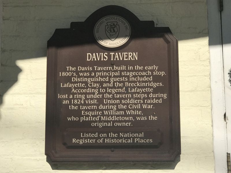
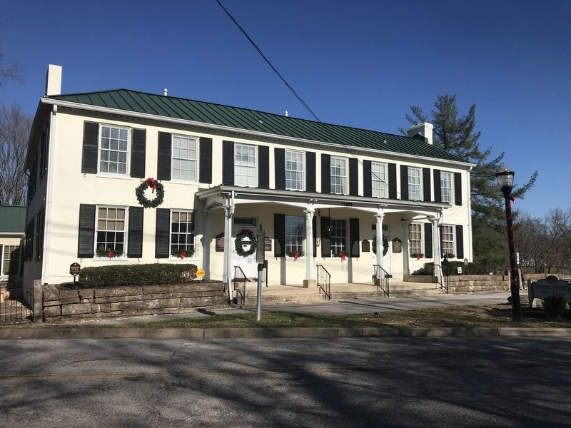
Davis Tavern
Listed on the National Register of Historical Places
Erected by Historic Middletown Inc. and City of Middletown.
Topics and series. This historical marker is listed in these topic lists: Industry & Commerce • War, US Civil. In addition, it is included in the Lafayette’s Farewell Tour series list.
Location. 38° 14.712′ N, 85° 32.23′ W. Marker is in Middletown, Kentucky, in Jefferson County. Marker is on Old Shelbyville Road, 0.1 miles south of Locust Road, on the left when traveling south. Marker is on Middletown City Hall. Touch for map. Marker is at or near this postal address: 11803 Old Shelbyville Road, Louisville KY 40243, United States of America. Touch for directions.
Other nearby markers. At least 8 other markers are within walking distance of this marker. The Wetherby House (here, next to this marker); Lawrence Winchester Wetherby / Gov. Lawrence W. Wetherby (here, next to this marker); Middletown Station (here, next to this marker); Middletown Veterans Memorial (within shouting distance of this marker); Gov. Lawrence Wetherby Statue (within shouting distance of this marker); Middletown Methodist Church (about 600 feet away, measured in a direct line); Middletown Inn (about 700 feet away); Milestone / Old Public Well (about 700 feet away). Touch for a list and map of all markers in Middletown.
Also see . . . Asset Detail | Davis Tavern (PDF). National Register of Historic Places registration and photographs. (Submitted on December 6, 2020, by Duane and Tracy Marsteller of Murfreesboro, Tennessee.)
Credits. This page was last revised on December 6, 2020. It was originally submitted on December 5, 2020, by Duane and Tracy Marsteller of Murfreesboro, Tennessee. This page has been viewed 472 times since then and 68 times this year. Photos: 1. submitted on December 5, 2020, by Duane and Tracy Marsteller of Murfreesboro, Tennessee. 2. submitted on December 6, 2020, by Duane and Tracy Marsteller of Murfreesboro, Tennessee.

