
Cape Elizabeth in Cumberland County, Maine — The American Northeast (New England)
Portland Head Light
National Historic Civil Engineering Landmark
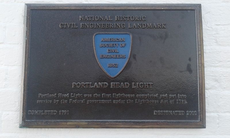
Photographed by Craig Doda, July 2, 2018
1. Portland Head Light Marker
Erected 2002 by American Society Of Civil Engineers.
Topics and series. This historical marker is listed in these topic lists: Architecture • Notable Buildings. In addition, it is included in the ASCE Civil Engineering Landmarks, and the Lighthouses series lists. A significant historical year for this entry is 1852.
Location. 43° 37.383′ N, 70° 12.467′ W. Marker is in Cape Elizabeth, Maine, in Cumberland County. It is on Shore Road, on the right when traveling north. Touch for map. Marker is in this post office area: Cape Elizabeth ME 04107, United States of America. Touch for directions.

Regionally, this marker is on Southern Maine Coast. It is also in the American Northeast, in New England, and on the Eastern Seaboard. Globally, it is in the North Atlantic Region, North America, the Western Hemisphere, the Western World, and the Anglosphere.
Other nearby markers. At least
this page online
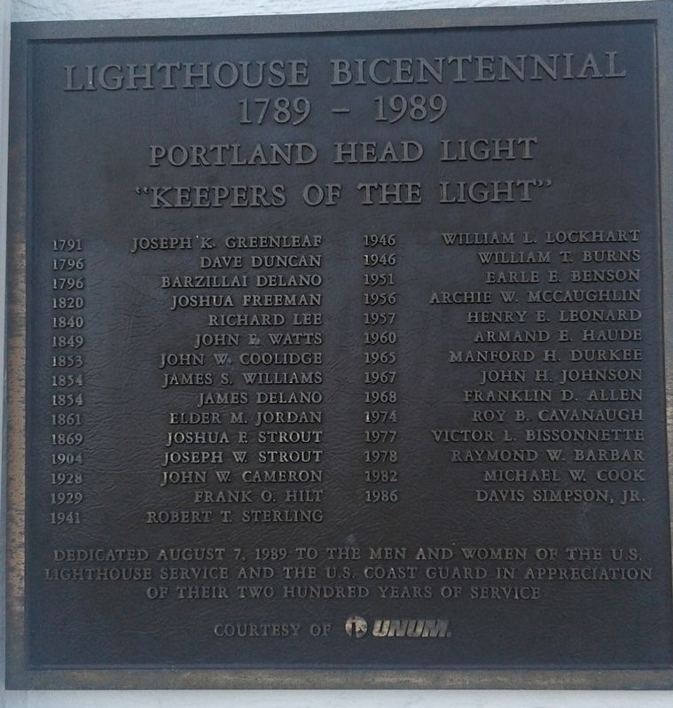
Photographed by Craig Doda, July 2, 2018
2. Portland Head Light Marker
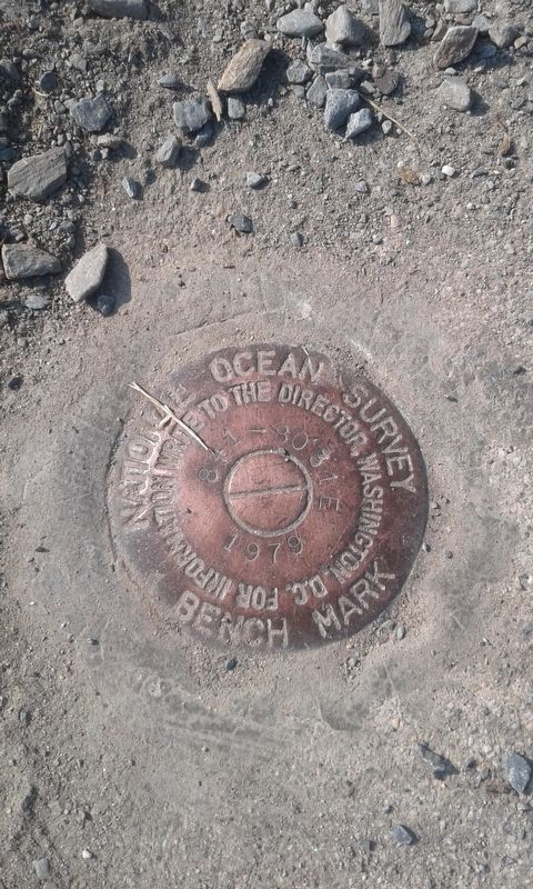
Photographed by Craig Doda, July 2, 2018
3. Portland Head Light Marker
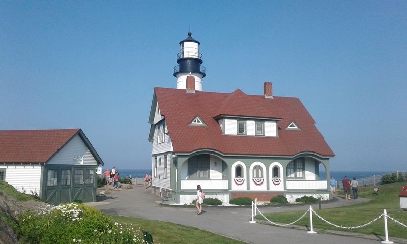
Photographed by Craig Doda, July 2, 2018
4. Portland Head Light Marker
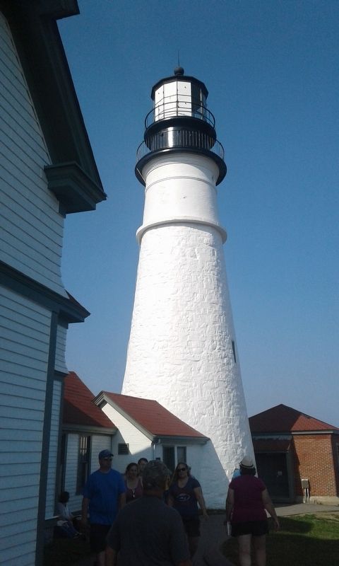
Photographed by Craig Doda, July 2, 2018
5. Portland Head Light Marker
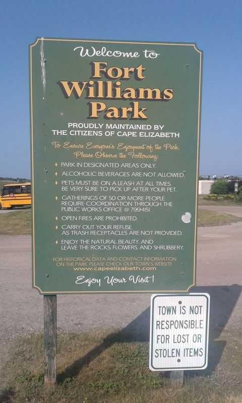
Photographed by Craig Doda, July 2, 2018
6. Portland Head Light Marker
Credits. This page was last revised on December 10, 2020. It was originally submitted on December 5, 2020, by Craig Doda of Napoleon, Ohio. This page has been viewed 374 times since then and 17 times this year. Photos: 1, 2, 3, 4, 5, 6. submitted on December 5, 2020, by Craig Doda of Napoleon, Ohio. • Bill Pfingsten was the editor who published this page.
