Steeleville in Randolph County, Illinois — The American Midwest (Great Lakes)
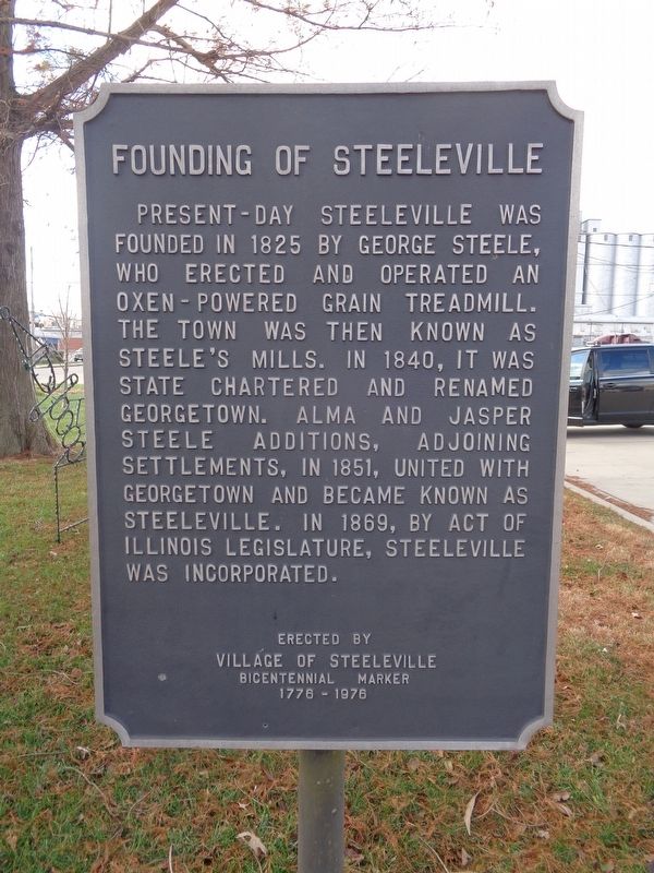
Founding of Steeleville
Erected 1976 by Village of Steeleville.
Topics. This historical marker is listed in this topic list: Industry & Commerce. A significant historical year for this entry is 1825.
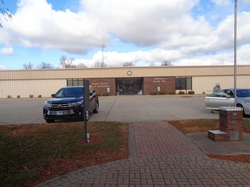
Location. 38° 0.434′ N, 89° 39.544′ W. Marker is in Steeleville, Illinois, in Randolph County. Marker is on West Broadway Street (Illinois Route 4/150) west of North Sparta Street, on the right when traveling west. Marker is in front of Steeleville City Hall. Touch for map. Marker is at or near this postal address: 107 W Broadway St, Steeleville IL 62288, United States of America. Touch for directions.
Other nearby markers. At least 8 other markers are within 8 miles of this marker, measured as the crow flies. World Wars I and II Memorial (approx. ¼ mile away); Veterans Memorial (approx. 0.4 miles away); a different marker also named Veterans Memorial (approx. 2.4 miles away); To Prepetuate and Rededicate our Democratic Principles (approx. 2.4 miles away); a different marker also named Veterans Memorial (approx. 4.1 miles away); George Rogers Clark Campsite (approx. 7.1 miles away); Chester-Kaskaskia, Illinois (approx. 7.1 miles away); Mary's River Covered Bridge (approx. 7.1 miles away).
Credits. This page was last revised on December 6, 2020. It was originally submitted on December 6, 2020, by Jason Voigt of Glen Carbon, Illinois. This page has been viewed 328 times since then and 71 times this year. Photos: 1, 2. submitted on December 6, 2020, by Jason Voigt of Glen Carbon, Illinois.

