Wasta in Pennington County, South Dakota — The American Midwest (Upper Plains)
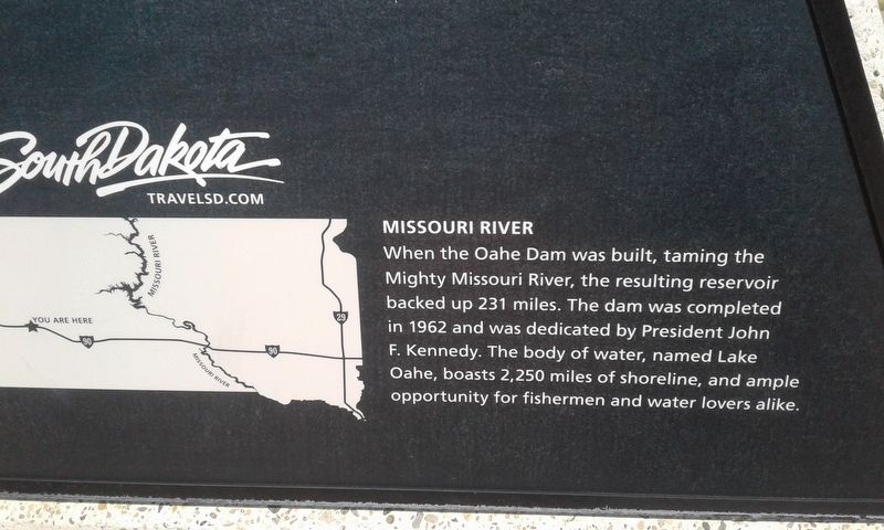
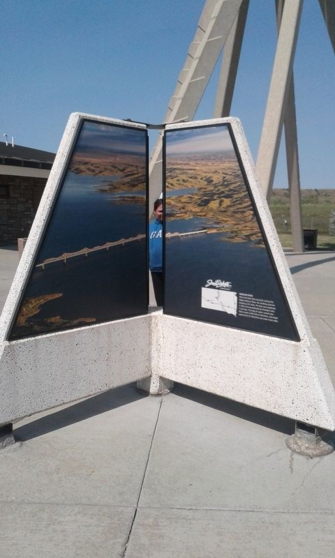
Missouri River
Topics. This historical marker is listed in this topic list: Waterways & Vessels. A significant historical year for this entry is 1962.
Location. 44° 3.776′ N, 102° 26.384′ W. Marker is in Wasta, South Dakota, in Pennington County. Marker is on I-90 E, on the right when traveling east. Touch for map. Marker is in this post office area: Wasta SD 57791, United States of America. Touch for directions.
Other nearby markers. At least 6 other markers are within 11 miles of this marker, measured as the crow flies. World's Only Corn Palace - Mitchell (here, next to this marker); Cheyenne River Rest Area (a few steps from this marker); Native American Culture (a few steps from this marker); a different marker also named Cheyenne River Rest Area (approx. 0.3 miles away); Purple Heart Memorial Highway (approx. 0.3 miles away); The Carrol McDonald Post No. 246 (approx. 10.9 miles away).
Credits. This page was last revised on December 12, 2020. It was originally submitted on December 6, 2020, by Craig Doda of Napoleon, Ohio. This page has been viewed 80 times since then and 9 times this year. Photos: 1, 2, 3. submitted on December 6, 2020, by Craig Doda of Napoleon, Ohio. • Bill Pfingsten was the editor who published this page.


