Big Sandy in Chouteau County, Montana — The American West (Mountains)
Camp Cooke
First Military Post In Montana
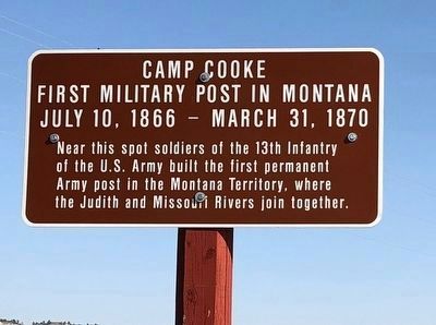
Photographed by Sue Swackhamer, August 23, 2020
1. Camp Cooke Marker
Near this spot soldiers of the 13th Infantry of the U.S. Army built the first permanent Army post in the Montana Territory, where the Judith and Missouri Rivers join together.
Erected by Montana Department of Transportation.
Topics. This historical marker is listed in this topic list: Military. A significant historical date for this entry is July 10, 1866.
Location. 47° 44.501′ N, 109° 37.518′ W. Marker is in Big Sandy, Montana, in Chouteau County. It is on Judith Landing Road (State Highway 236), on the left when traveling south. The marker is approximately 1/4 mile north of Judith Landing on the Missouri River. Touch for map. Marker is in this post office area: Big Sandy MT 59520, United States of America. Touch for directions.

Regionally, this marker is in Central Montana, in Missouri River Country, and specifically in Russell Country. It is also in the American Mountain West and in the Lewis & Clark Corridor. Globally, it is in North America, the Western Hemisphere, the Western World, and the Anglosphere. Historically, it finds itself in what was once Rupert’s Land and also
this page online
Other nearby markers. At least 8 other markers are within 2 miles of this marker, measured as the crow flies: The Judith River Formation (about 400 feet away, measured in a direct line); Fort Chardon (approx. 0.2 miles away); The Anglos Are Coming (approx. ¼ mile away); Welcome to the Mountain Ranges (approx. ¼ mile away); Lewis and Clark National Historic Trail (approx. ¼ mile away); Naturally Sustained Productivity (approx. ¼ mile away); Tale of Two Treaties (approx. ¼ mile away); The Judith Landing (approx. 1.2 miles away). Touch for a list and map of all markers in Big Sandy.
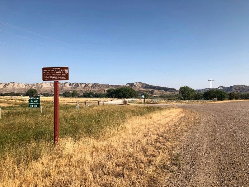
Photographed by Sue Swackhamer, August 23, 2020
2. Camp Cooke Marker
Credits. This page was last revised on December 6, 2020. It was originally submitted on December 6, 2020, by Barry Swackhamer of Brentwood, California. This page has been viewed 519 times since then and 47 times this year. Photos: 1, 2. submitted on December 6, 2020, by Barry Swackhamer of Brentwood, California.
