Rush in Marion County, Arkansas — The American South (West South Central)
Rush
Buffalo National River
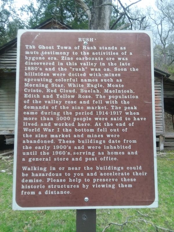
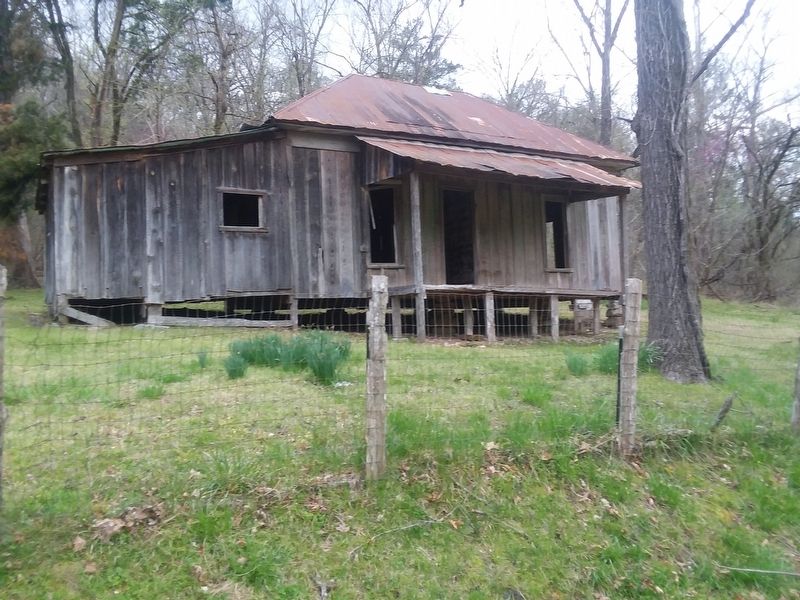
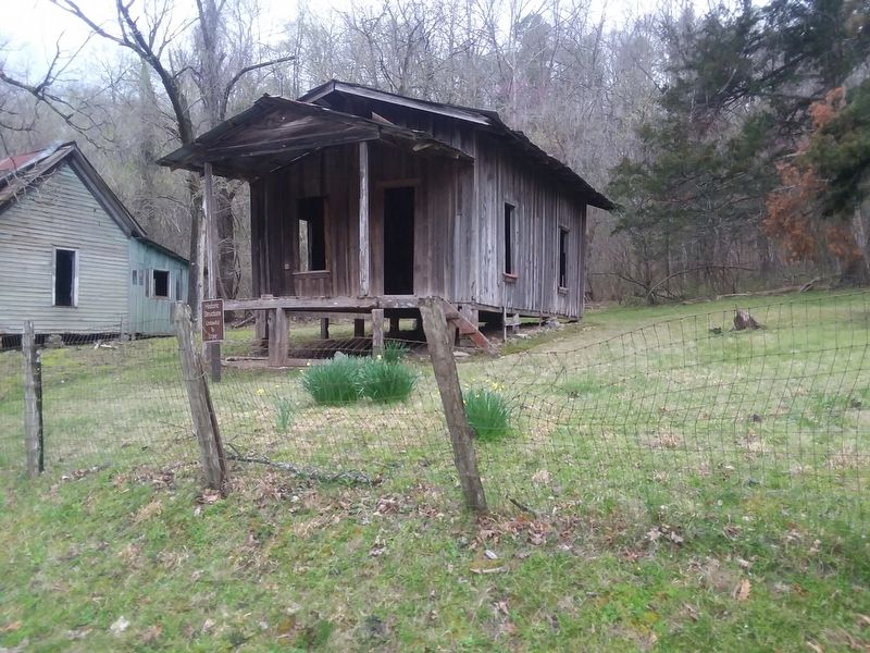
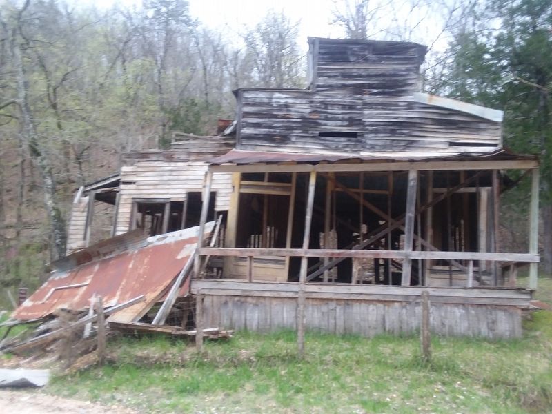
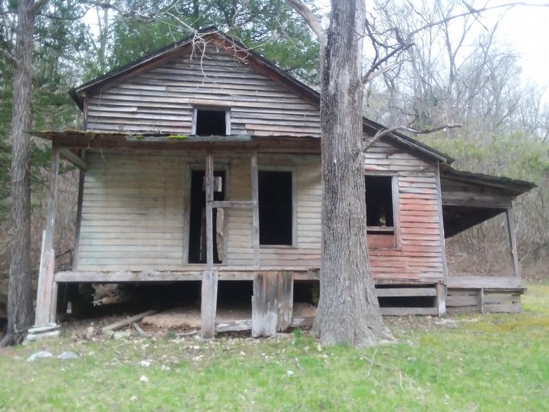
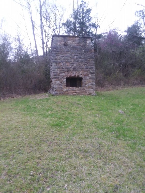
The Ghost Town of Rush stands as mute testimony to the activities of a bygone era. Zinc carbonate ore was discovered in this valley in the late 1880's and the "rush" was on. Soon the hillsides were dotted with-mines sprouting colorful names such as Morning Star, White Eagle, Monte Cristo, Red Cloud, Buelah, MacIntosh, Edith and Yellow Rose. The population of the valley rose and fell with the demands of the zine market. The peak came during the period 1914-1917 when more than 5000 people were said to have lived and worked here. At the end of World War I the bottom fell out of the zinc market and mines were abandoned. These buildings date from the early 1900's and were inhabited until the 1960's, serving as homes and a general store and post office.
Walking in or near the buildings could be hazardous to you and accelerate their demise. Please help to preserve these historic structures by viewing them from a distance.
Topics. This historical marker is listed in these topic lists: Industry & Commerce • Notable Places • Settlements & Settlers • War, World I.
Location. 36° 7.983′ N, 92° 34.267′ W. Marker is in Rush, Arkansas, in Marion County. Marker is on County Road 635, 0.1 miles south of County Road 637, on the right when traveling south. Touch for map. Marker is in this post office area: Rush AR 57174, United States of America. Touch for directions.
Other nearby markers. At least 8 other markers are within walking distance of this marker. Company Store and Office (about 600 feet away, measured in a direct line); Break It, Remake It (about 600 feet away); Town Hub (about 700 feet away); Mining Turkey Fat and Rosin Jack (about 700 feet away); Company Village (about 700 feet away); 200 Tons A Day (about 800 feet away); Silver-lined Dreams (about 800 feet away); Four-footed Link (about 800 feet away). Touch for a list and map of all markers in Rush.
Also see . . . Rush (Ghost Town). (Submitted on December 6, 2020, by Craig Doda of Napoleon, Ohio.)
Credits. This page was last revised on December 6, 2020. It was originally submitted on December 6, 2020, by Craig Doda of Napoleon, Ohio. This page has been viewed 384 times since then and 18 times this year. Photos: 1, 2, 3, 4, 5, 6. submitted on December 6, 2020, by Craig Doda of Napoleon, Ohio. • Devry Becker Jones was the editor who published this page.
