Rush in Marion County, Arkansas — The American South (West South Central)
Change and Renewal
Buffalo National River
— National Park Service, U.S. Department of the Interior —
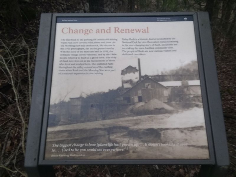
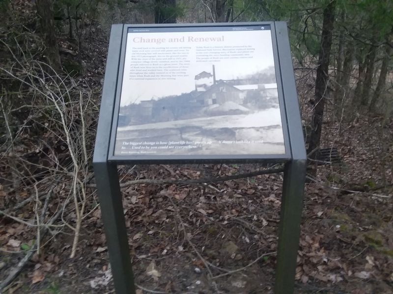
The trail back to the parking lot crosses old mining waste rock now covered with plants and trees. An old Morning Star mill smokestack, like the one in this 1915 photograph, lies on the ground nearby. With the close of the mine and mill in 1931, the company village slowly vanished, and by the 1960s people referred to Rush as a ghost town. The story of Rush now lives on in the recollections of those who lived and worked here. The scattered ruins throughout the valley remind us of the exciting times when Rush and the Morning Star were part of a national expansion in zinc mining.
Today Rush is a historic district protected by the National Park Service. Recreation replaced mining in the ever-changing story of Rush, and plants are overtaking the once-bustling community sites. The people of Rush are now curious visitors and dedicated caretakers.
The biggest change is how (plant life has] grown up.... It doesn't look like it used to.... Used to be you could see everywhere.
Bessie Kastning, Rush resident
Erected by National Park Service, U.S. Department of the Interior.
Topics. This historical marker is listed in this topic list: Industry & Commerce. A significant historical year for this entry is 1915.
Location. 36° 7.917′ N, 92° 34.1′ W. Marker is in Rush, Arkansas, in Marion County. Marker is on County Road 6035, 0.2 miles south of County Road 637, on the left when traveling east. Touch for map. Marker is in this post office area: Rush AR 57174, United States of America. Touch for directions.
Other nearby markers. At least 8 other markers are within walking distance of this marker. 200 Tons A Day (within shouting distance of this marker); Rush Historic Mining District (within shouting distance of this marker); Rush Mining District (within shouting distance of this marker); Rush, The Town That Zinc Built (within shouting distance of this marker); Mining Turkey Fat and Rosin Jack (within shouting distance of this marker); Company Village (about 300 feet away, measured in a direct line); Four-footed Link (about 400 feet away); Silver-lined Dreams (about 400 feet away). Touch for a list and map of all markers in Rush.
Also see . . . Rush (Ghost Town). (Submitted on December 6, 2020, by Craig Doda of Napoleon, Ohio.)
Credits. This page was last revised on December 6, 2020. It was originally submitted on December 6, 2020, by Craig Doda of Napoleon, Ohio. This page has been viewed 97 times since then and 5 times this year. Photos: 1, 2. submitted on December 6, 2020, by Craig Doda of Napoleon, Ohio. • Devry Becker Jones was the editor who published this page.

