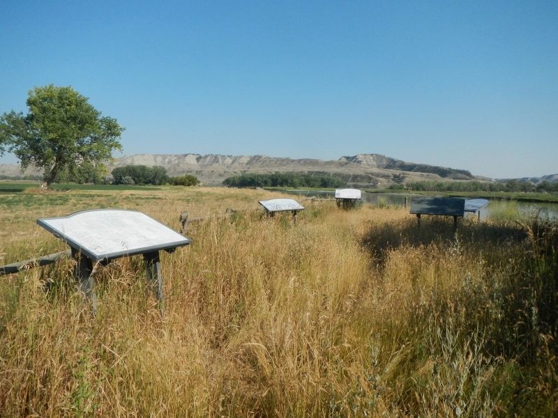
Big Sandy in Chouteau County, Montana — The American West (Mountains)
Welcome to the Mountain Ranges
Crossroads for Centuries
Inscription.
Once home to grazing dinosaurs, the lands surrounding you still exhibit the qualities that have mad the Judith Landing area an important crossroads thought human history. Here, at the confluence of two rivers, trees grow more densely than elsewhere in this part of Montana, and it's the easiest place to cross the Missouri for miles in either direction. The ready availability of water, wood, forage and sheltered space led numerous Indian tribes and their ancestors to converge her for seasonal hunts and meetings.
These lands were widely known, and the river routes well-traveled, long before the Lewis and Clark Expedition camped here in 1805. For the same reasons barely a generation later, two pivotal Indian treaties were negotiated and signed here. When Euro-American immigration began in earnest in the mid-18?0s the Missouri River became an interstate highway for supplies and people, and this areas geography made it a primary stopping point along the way. Until railroads were completed in 1887, most everything that entered or left Montana passed here.
Ranching began on these lands in 1881, and has continued ever since. Today with the help of a program called Undaunted Stewardship the Wortman Ranch manages its land and livestock so that grazing preserves the land's historic character and maintains habitat for wildlife and waterfowl. Welcome to a glimpse of this area's ghosts, its life and its further-enjoy your visit.
Legend (map very badly damaged) :
1. Fort Clagett (1869-1878), trading post
2. Camp Cooke (1866-1869), first military post in Montana 3. Fort Chardon (1844-1845), a trading post that failed because Indians distrusted its founder for having led a massacre of Piegan, members of the Blackfoot Confederacy.
4. Judith River, named by Captain William Clark after Julia Hancock, his future wife, called Oo-tan-kwi-si-sa-tan, or Yellow River by the Blackfeet.
5. The aligina (?) Judith Landing and site of the P-N Cable Ferry crossing at the Power-Norris Ranch where many of the structures built as early as 1880 still stand.
6. Lohs Ferry site operated 1923-?.
7. Dog Creek, called Bull Creek by Lewis and Clark.
8. Lewis and Clark Expedition campsite on May 28, 1805.
9. Indian treaty sites (1840 and 1855).
10. Wortman Ranch Headquarters
11. Council Island, named for the treaty councils that occurred on the mainland.
Erected by Undaunted Stewardship.
Topics. This historical marker is listed in this topic list: Notable Places.
Location. 47° 44.326′ N, 109° 37.333′ W. Marker is in Big Sandy, Montana, in Chouteau County. Marker can be reached from Judith Landing Road (State Highway 236), on the right when traveling south. The marker is located on a pathway leading east from the boat launch ramp. Touch for map. Marker is in this post office area: Big Sandy MT 59520, United States of America. Touch for directions.
Other nearby markers. At least 8 other markers are within one mile of this marker, measured as the crow flies. The Anglos Are Coming (here, next to this marker); Lewis and Clark National Historic Trail (here, next to this marker); Naturally Sustained Productivity (here, next to this marker); Tale of Two Treaties (here, next to this marker); Camp Cooke (approx. ¼ mile away); The Judith River Formation (approx. 0.3 miles away); Fort Chardon (approx. 0.4 miles away); The Judith Landing (approx. one mile away). Touch for a list and map of all markers in Big Sandy.
Credits. This page was last revised on December 6, 2020. It was originally submitted on December 6, 2020, by Barry Swackhamer of Brentwood, California. This page has been viewed 122 times since then and 14 times this year. Photo 1. submitted on December 6, 2020, by Barry Swackhamer of Brentwood, California.
