Rush in Marion County, Arkansas — The American South (West South Central)
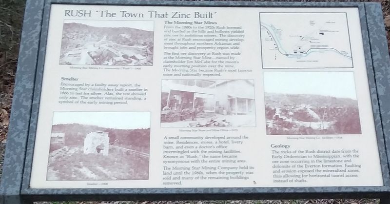
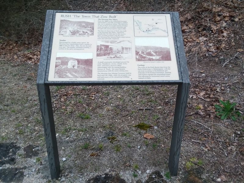
Rush, The Town That Zinc Built
Smelter
Encouraged by a faulty assay report, the Morning Star claimholders built a smelter in 1886 to test for silver. Alas, the test showed only zinc. The smelter remained standing, a symbol of the early mining period.
The Morning Star Mines
From the 1880s to the 1920s Rush boomed and bustled as the hills and hollows yielded zinc ore to ambitious miners. The discovery of zinc at Rush encouraged mining develop ment throughout northern Arkansas and brought jobs and prosperity region-wide.
The first ore discovery at Rush was made at the Morning Star Mine-named by claimholder Jim McCabe for the moon's early morning position over the mine. The Morning Star became Rush's most famous mine and nationally respected.
A small community developed around the mine. Residences, stores, a hotel, livery barn, and even a doctor's office intermingled with the mining facilities. Known as "Rush, the name became synonymous with the entire mining area.
The Morning Star Mining Company held its Land until the 1960s, when the property was sold and many of the remaining buildings removed.
Geology
The rocks of the Rush district date from the Early Ordovician to Mississippian, with the ore zone occurring in the limestone and dolomite of the Everton formation. Faulting and erosion exposed the mineralized zones, thus allowing for horizontal tunnel access instead of shafts.
Erected by National Park Service, U.S. Department of the Interior.
Topics. This historical marker is listed in these topic lists: Industry & Commerce • Natural Resources. A significant historical year for this entry is 1886.
Location. 36° 7.883′ N, 92° 34.117′ W. Marker is in Rush, Arkansas, in Marion County. Marker is on County Road 6035, 0.3 miles east of County Road 637, on the right when traveling east. Touch for map. Marker is in this post office area: Flippin AR 72634, United States of America. Touch for directions.
Other nearby markers. At least 8 other markers are within walking distance of this marker. Rush Mining District (within shouting distance of this marker); Rush Historic Mining District (within shouting distance of this marker); Change and Renewal (within shouting distance of this marker); 200 Tons A Day (within shouting distance of this marker); Four-footed Link (within shouting distance of this marker); Silver-lined Dreams (within shouting distance of this marker); Mining Turkey Fat and Rosin Jack (within shouting distance of this marker); Company Village (about 300 feet away, measured in a direct line). Touch for a list and map of all markers in Rush.
Also see . . . Rush (Ghost Town). (Submitted on December 6, 2020, by Craig Doda of Napoleon, Ohio.)
Credits. This page was last revised on December 6, 2020. It was originally submitted on December 6, 2020, by Craig Doda of Napoleon, Ohio. This page has been viewed 260 times since then and 37 times this year. Photos: 1, 2. submitted on December 6, 2020, by Craig Doda of Napoleon, Ohio. • Devry Becker Jones was the editor who published this page.

