Carbondale in Jackson County, Illinois — The American Midwest (Great Lakes)
Station #6
Photographed by Jason Voigt, November 26, 2020
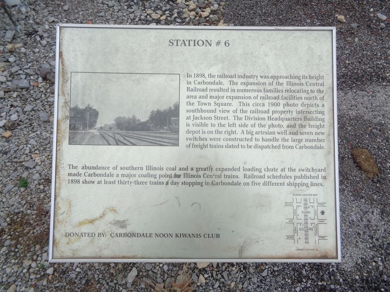
1. Station #6 Marker
The abundance of southern Illinois coal and a greatly expanded loading chute at the switchyard made Carbondale a major coding point for Illinois Central trains. Railroad schedules published in 1898 show at least thirty-three trains a day stopping in Carbondale on five different shipping lines.
Erected by Carbondale Noon Kiwanis Club.
Topics. This historical marker is listed in this topic list: Railroads & Streetcars. A significant historical year for this entry is 1898.
Location. 37° 43.69′ N, 89° 12.97′ W. Marker is
this page online

Regionally, this marker is in Southern Illinois — Little Egypt and in Shawnee Hills. It is also in the American Midwest, in the Corn Belt, and in the Great River Road Region. Globally, it is in North America, the Western Hemisphere, the Western World, and the Anglosphere. Historically, it finds itself in what was once the territory of the Mississippian Culture and also the Northwest Territory.
Other nearby markers. At least 8 other markers are within walking distance of this marker: Station #5 (within shouting distance of this marker); Station #7 (within shouting distance of this marker); Station #4 (within shouting distance of this marker); Station #8 (within shouting distance of this marker); Daniel Harmon Brush (about 300 feet away, measured in a direct line); Station #2 (about 400 feet away); World War I (about 400 feet away); World War II
Photographed by Jason Voigt, November 26, 2020
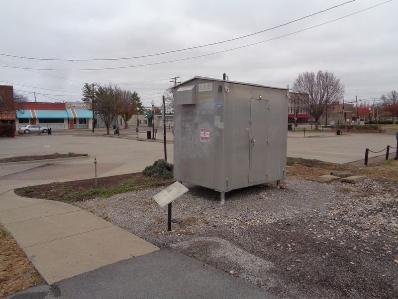
2. Station #6 Marker
More about this marker. This is the sixth of nine markers around Carbondale Town Square, as part of the Tablescapes walking tour program highlighting Carbondale's railroad and founding history.
Credits. This page was last revised on December 7, 2020. It was originally submitted on December 7, 2020, by Jason Voigt of Glen Carbon, Illinois. This page has been viewed 244 times since then and 23 times this year. Photos: 1, 2. submitted on December 7, 2020, by Jason Voigt of Glen Carbon, Illinois.
