Hurstbourne in Jefferson County, Kentucky — The American South (East South Central)
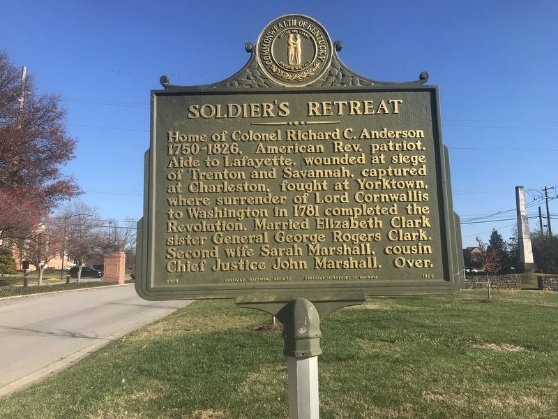
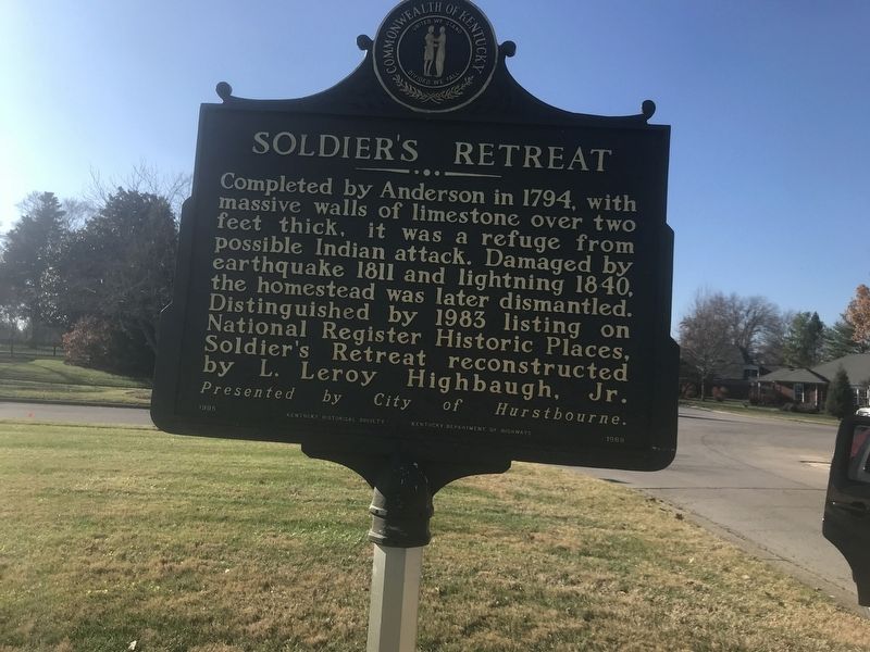
Soldier's Retreat
Home of Colonel Richard C. Anderson 1750-1826, American Rev. patriot. Aide to Lafayette, wounded at siege of Trenton and Savannah, captured at Charleston, fought at Yorktown, where surrender of Lord Cornwallis to Washington in 1781 completed the Revolution. Married Elizabeth Clark, sister General George Rogers Clark. Second wife Sarah Marshall, cousin Chief Justice John Marshall.
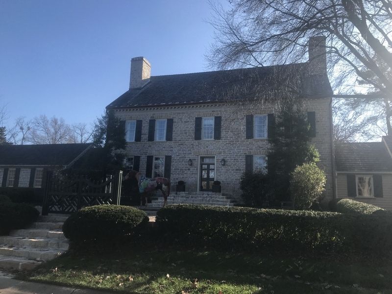
Completed by Anderson in 1794, with massive walls of limestone over two feet thick, it was a refuge from possible Indian attack. Damaged by earthquake 1811 and lightning 1840, the homestead was later dismantled. Distinguished by 1983 listing on National Register Historic Places, Soldier's Retreat reconstructed by L. Leroy Highbaugh, Jr.
Erected 1995 by Kentucky Historical Society and Kentucky Department of Highways. (Marker Number 1968.)
Topics and series. This historical marker is listed in these topic lists: Architecture • War, US Revolutionary. In addition, it is included in the National Register of Historic Places series list. A significant historical year for this entry is 1781.
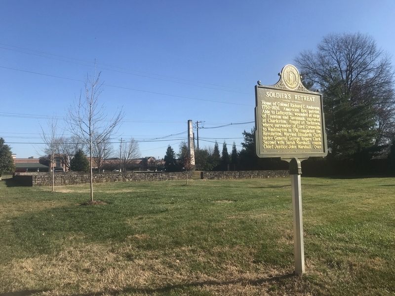
Location. 38° 14.148′ N, 85° 34.676′ W. Marker is in Hurstbourne, Kentucky, in Jefferson County. Marker is at the intersection of Seaton Springs Parkway and Nottingham Parkway, on the right when traveling east on Seaton Springs Parkway. Touch for map. Marker is at or near this postal address: 603 Nottingham Parkway, Louisville KY 40222, United States of America. Touch for directions.
Other nearby markers. At least 8 other markers are within 2 miles of this marker, measured as the crow flies. The R.C. Tway House (approx. 0.7 miles away); "Nunnlea" (approx. 1.3 miles away); Perryville Prelude (approx. 1.3 miles away); Fort William / Col. William Christian (approx. 1.6 miles away); Christ Lutheran Church (approx. 1.8 miles away); Sturgus Station (approx. 1.8 miles away); Jefferson Marders Building (approx. 2 miles away); Middletown's First Gas Station (approx. 2.1 miles away).
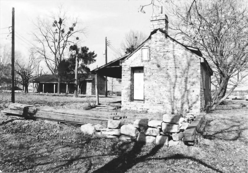
via NPS, unknown
4. Soldier's Retreat
National Register of Historic Places Digital Archive on NPGallery website entry
Click for more information.
Click for more information.
Credits. This page was last revised on January 9, 2022. It was originally submitted on December 7, 2020, by Duane and Tracy Marsteller of Murfreesboro, Tennessee. This page has been viewed 770 times since then and 100 times this year. Photos: 1, 2, 3. submitted on December 7, 2020, by Duane and Tracy Marsteller of Murfreesboro, Tennessee. 4. submitted on January 9, 2022, by Larry Gertner of New York, New York. 5. submitted on December 7, 2020, by Duane and Tracy Marsteller of Murfreesboro, Tennessee.
