Crescent Hill in Louisville in Jefferson County, Kentucky — The American South (East South Central)
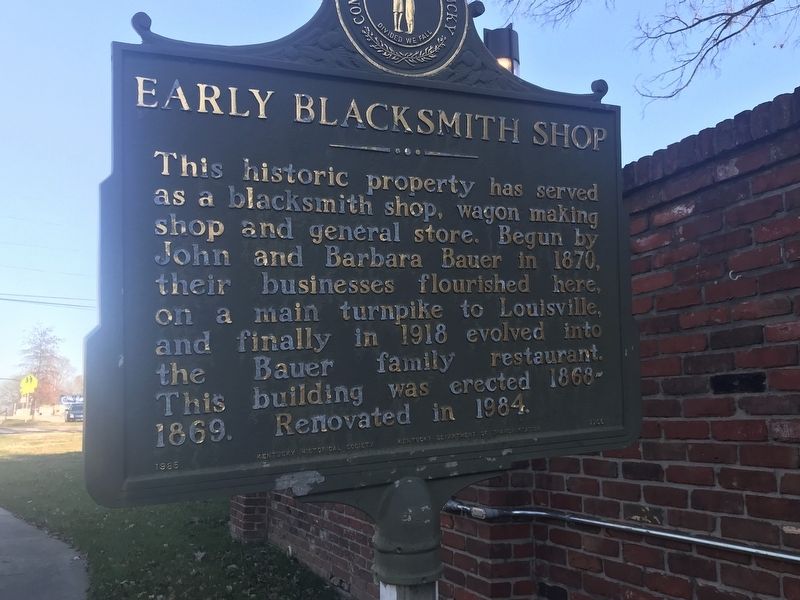
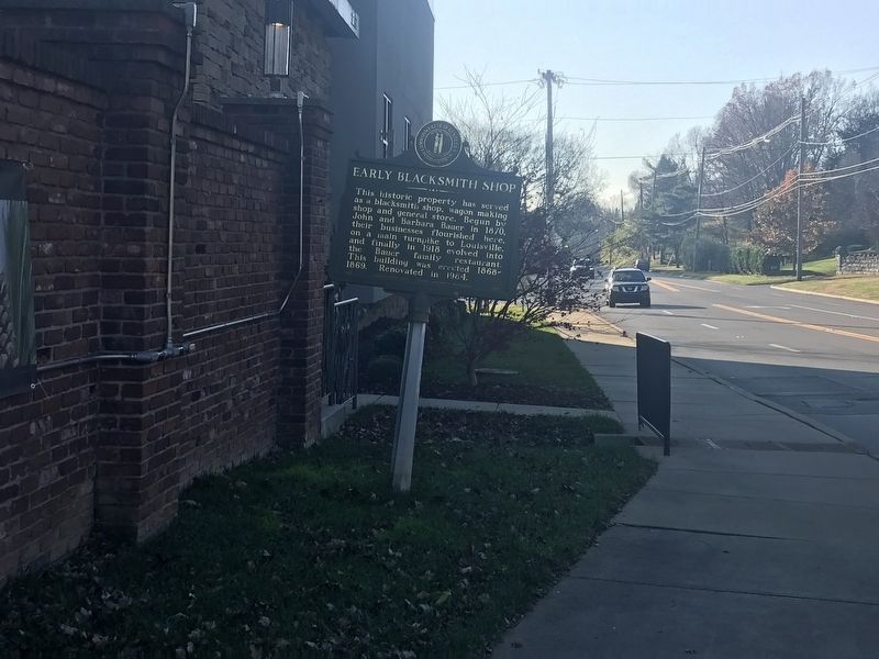
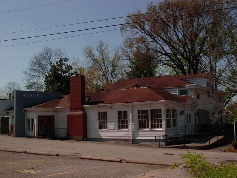
Early Blacksmith Shop
Erected 1985 by Kentucky Historical Society and Kentucky Department of Transportation. (Marker Number 1766.)
Topics and series. This historical marker is listed in these topic lists: Industry & Commerce • Roads & Vehicles. In addition, it is included in the Kentucky Historical Society series list. A significant historical year for this entry is 1870.
Location. 38° 15.855′ N, 85° 40.281′ W. Marker is in Louisville, Kentucky, in Jefferson County. It is in Crescent Hill. Marker is on Brownsboro Road (U.S. 42) east of Mockingbird Gardens Drive, on the right when traveling east. Touch for map. Marker is at or near this postal address: 3612 Brownsboro Road, Louisville KY 40207, United States of America. Touch for directions.
Other nearby markers. At least 8 other markers are within 2 miles of this marker, measured as the crow flies. Mockingbird Valley (approx. ¼ mile away); Crescent Hill Reservoir and Gatehouse (approx. 0.7 miles away); Filtration Plant / Reservoir and Gatehouse (approx. 0.7 miles away); Beechland (approx. 0.9 miles away); The Fair Grounds 1853-73 (approx. 1.1 miles away); Gilman's Point / St. Matthews (approx. 1.2 miles away); Spring Fort Built Before 1782 (approx. 1.2 miles away); Locust Grove (approx. 1.6 miles away). Touch for a list and map of all markers in Louisville.
Credits. This page was last revised on February 12, 2023. It was originally submitted on December 7, 2020, by Duane and Tracy Marsteller of Murfreesboro, Tennessee. This page has been viewed 528 times since then and 73 times this year. Photos: 1. submitted on December 7, 2020, by Duane and Tracy Marsteller of Murfreesboro, Tennessee. 2, 3. submitted on December 8, 2020, by Duane and Tracy Marsteller of Murfreesboro, Tennessee.


