Brownsboro Zorn in Mockingbird Valley in Jefferson County, Kentucky — The American South (East South Central)
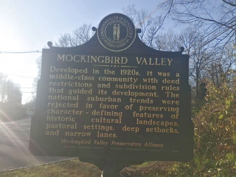
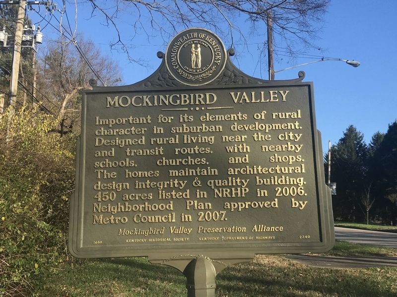
Mockingbird Valley
Important for its elements of rural character in suburban development. Designed rural living near the city and transit routes, with nearby schools, churches, and shops. The homes maintain architectural design integrity & quality building. 450 acres listed in NRHP in 2006. Neighborhood Plan approved by Metro Council in 2007.
Erected 2010 by Kentucky Historical Society and Kentucky Department of Highways. (Marker Number 2340.)
Topics and series. This historical marker is listed in this topic list: Architecture. In addition, it is included in the Kentucky Historical Society series list. A significant historical year for this entry is 1920.
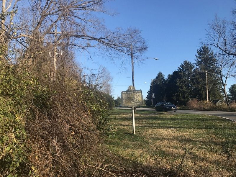
Location. 38° 15.809′ N, 85° 40.584′ W. Marker is in Mockingbird Valley, Kentucky, in Jefferson County. It is in Brownsboro Zorn. Marker is at the intersection of Brownsboro Road (U.S. 42) and Mockingbird Valley Road , on the right when traveling west on Brownsboro Road. Touch for map. Marker is in this post office area: Louisville KY 40207, United States of America. Touch for directions.
Other nearby markers. At least 8 other markers are within 2 miles of this marker, measured as the crow flies. Early Blacksmith Shop (approx. ¼ mile away); Crescent Hill Reservoir and Gatehouse (approx. half a mile away); Filtration Plant / Reservoir and Gatehouse (approx. half a mile away); Beechland (approx. 0.6 miles away); The Fair Grounds 1853-73 (approx. 0.8 miles away); Spring Fort Built Before 1782 (approx. 1.2 miles away); Gilman's Point / St. Matthews (approx. 1.3 miles away); George Rogers Clark At Locust Grove / Lewis and Clark in Kentucky - Locust Grove (approx. 1.8 miles away).
Also see . . . Mockingbird Valley, Kentucky (Wikipedia). (Submitted on December 8, 2020, by Duane and Tracy Marsteller of Murfreesboro, Tennessee.)
Credits. This page was last revised on February 12, 2023. It was originally submitted on December 7, 2020, by Duane and Tracy Marsteller of Murfreesboro, Tennessee. This page has been viewed 263 times since then and 26 times this year. Photos: 1, 2. submitted on December 7, 2020, by Duane and Tracy Marsteller of Murfreesboro, Tennessee. 3. submitted on December 8, 2020, by Duane and Tracy Marsteller of Murfreesboro, Tennessee.


