Our Freedom Bell
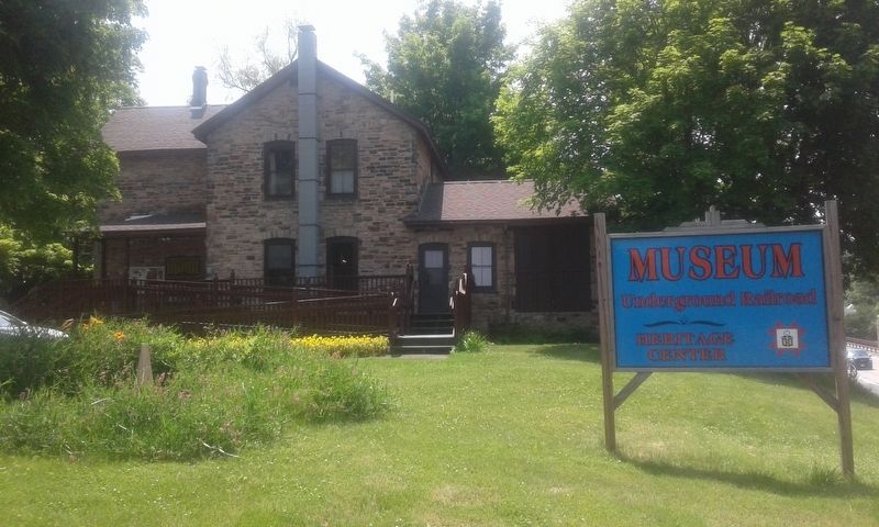
North Star Underground Railroad Museum
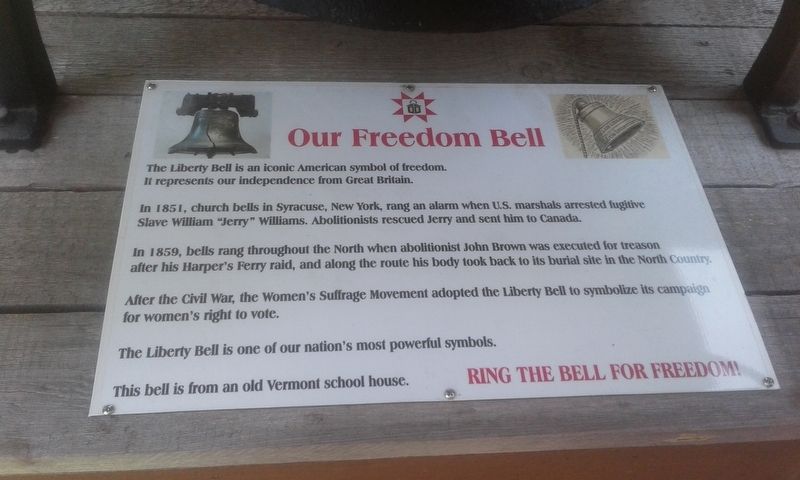
The Liberty Bell is an iconic American symbol of freedom. It represents our independence from Great Britain.
In 1851, church bells in Syracuse, New York, rang an alarm when U.S. marshals arrested fugitive Slave William "Jerry” Williams. Abolitionists rescued Jerry and sent him to Canada.
In 1859, bells rang throughout the North when abolitionist John Brown was executed for treason after his Harper's Ferry raid, and along the route his body took back to its burial site in the North Country.
After the Civil War, the Women's Suffrage Movement adopted the Liberty Bell to symbolize its campaign for women's right to vote.
The Liberty Bell is one of our nation's most powerful symbols.
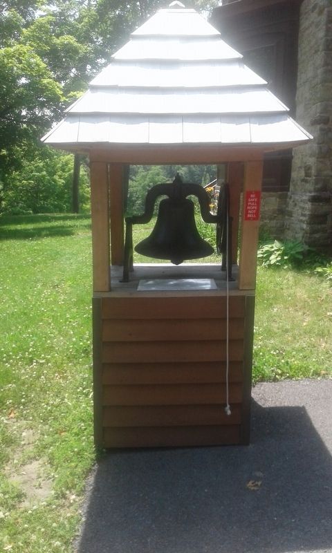
This bell is from an old Vermont school house.
Topics and series. This historical marker is listed in these topic lists: Abolition & Underground RR • Education. In addition, it is included in the Historic Bells series list. A significant historical year for this entry is 1851.
Location. 44° 31.533′ N, 73° 27.699′ W. Marker is in AuSable, New York, in Clinton County. Marker can be reached from the intersection of Mace Chasm Road and U.S. 9, on the left when traveling west. Touch for map. Marker is at or near this postal address: 1131 Mace Chasm Road, Keeseville NY 12911, United States of America. Touch for directions.
Other nearby markers. At least 8 other markers are within 2 miles of
Also see . . . North Star Underground Railroad Museum. (Submitted on December 11, 2020, by Michael Herrick of Southbury, Connecticut.)
Credits. This page was last revised on December 11, 2020. It was originally submitted on December 7, 2020, by Craig Doda of Napoleon, Ohio. This page has been viewed 150 times since then and 10 times this year. Photos: 1, 2, 3. submitted on December 7, 2020, by Craig Doda of Napoleon, Ohio. • Michael Herrick was the editor who published this page.


