
Niagara Falls in Niagara County, New York — The American Northeast (Mid-Atlantic)
Day into Night
An Around-the-Clock Power Project
| — | Reservoir State Park | — |

Photographed by Craig Doda, June 30, 2018
1. Day into Night Marker
Over 10,000 people contributed to the work that made the Niagara Power Project a stunning piece of engineering and the largest hydroelectric power plant built in the Western World up to that time.
The New York Power Authority assembled some of the best in their respective trades from around the United States and the world to take on the behemoth task of building this facility in four years.
The workforce was diverse: men, women, Native Americans, veterans of World War II, members of the Civilian Conservation Corps, students and many others. By nature, this type of project was difficult. The workers faced daunting conditions and year-round elements while performing the around-the-clock work to build the Power Project.
"Many of the men on the power project were WWII veterans. Once they were back home, having endured the wrath of war, no obstacle was even remotely Insurmountable."
Ken Glennon, Author Hard Hats of Niagara
Erected by NY Power Authority.
Topics. This historical marker is listed in these topic lists: Industry & Commerce • Waterways & Vessels.
Location. 43° 7.887′ N,
this page online

Regionally, this marker is in Upstate New York, specifically in Western New York, and in the Buffalo Metropolitan Area. It is also in the American Northeast and in the Mid-Atlantic. Globally, it is in North America, on the Great Lakes, in the Western Hemisphere, in the Western World, and in the Anglosphere. Historically, it finds itself in what was once the Viceroyalty of New France, the Haudenosaunee (Iroquois) Confederacy, New Netherland, and one of the original Thirteen Colonies.
Other nearby markers. At least 8 other markers are within 2 miles of this marker, measured as the crow flies: A Feat of Engineering (here, next to this marker); O'Shea Hall (1967), Seton Hall (1970) (approx. 1.1 miles away); For God and Country (approx. 1.2 miles away); Dunleavy Hall
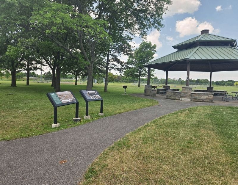
Photographed by Bradley Owen, July 2, 2025
2. Day into Night Marker
Marker is on the right.
Also see . . . Niagara Power Project. (Submitted on December 12, 2020, by Michael Herrick of Southbury, Connecticut.)
Credits. This page was last revised on July 2, 2025. It was originally submitted on December 7, 2020, by Craig Doda of Napoleon, Ohio. This page has been viewed 245 times since then and 21 times this year. Photos: 1. submitted on December 7, 2020, by Craig Doda of Napoleon, Ohio. 2. submitted on July 2, 2025, by Bradley Owen of Morgantown, West Virginia. • Michael Herrick was the editor who published this page.
