Erieville in Madison County, New York — The American Northeast (Mid-Atlantic)
S&CV Railroad
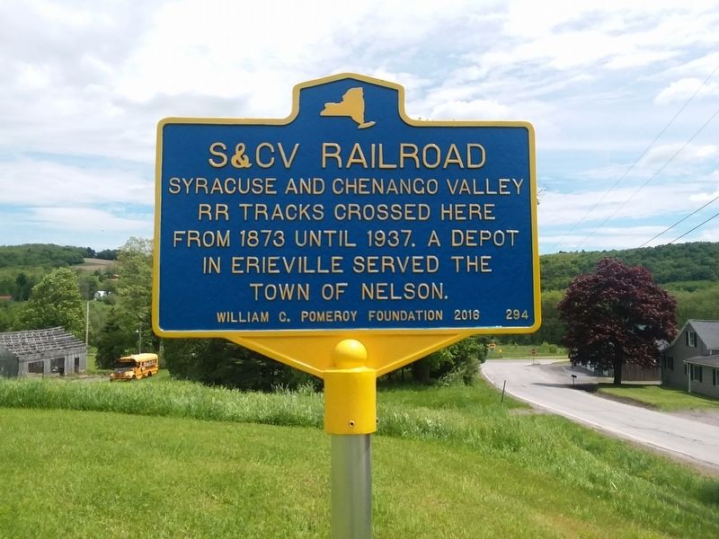
Photographed by Craig Doda, June 4, 2019
1. S&CV Railroad Marker
Erected 2016 by William G. Pomeroy Foundation. (Marker Number 294.)
Topics and series. This historical marker is listed in this topic list: Railroads & Streetcars. In addition, it is included in the William G. Pomeroy Foundation series list. A significant historical year for this entry is 1873.
Location. 42° 50.833′ N, 75° 45.267′ W. Marker is in Erieville, New York, in Madison County. It is on Dugway Road (County Road 60) 0.1 miles west of Erieville Road (County Road 67), on the right when traveling west. Touch for map. Marker is at or near this postal address: 3996 Dugway Rd, Erieville NY 13061, United States of America. Touch for directions.

Regionally, this marker is in Upstate New York, specifically in Central New York, and in the Syracuse Metropolitan Area. It is also in the American Northeast and in the Mid-Atlantic. Globally, it is in North America, the Western Hemisphere, the Western World, and the Anglosphere. Historically, it finds itself in what was once the Haudenosaunee
this page online
Other nearby markers. At least 8 other markers are within 6 miles of this marker, measured as the crow flies: The Syracuse & Chenango Valley Railroad (here, next to this marker); First Town Meeting (approx. 3.6 miles away); Welsh Church (approx. 4.6 miles away); Belmont School (approx. 4.8 miles away); West Eaton Veterans Memorial (approx. 5 miles away); New Woodstock Heritage Park (approx. 5.1 miles away); a different marker also named New Woodstock Heritage Park (approx. 5.1 miles away); Church Building (approx. 5.1 miles away).
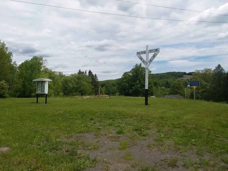
Photographed by Craig Doda, June 4, 2019
2. S&CV Railroad Marker
Credits. This page was last revised on May 9, 2023. It was originally submitted on December 7, 2020, by Craig Doda of Napoleon, Ohio. This page has been viewed 281 times since then and 19 times this year. Photos: 1, 2. submitted on December 7, 2020, by Craig Doda of Napoleon, Ohio. • Devry Becker Jones was the editor who published this page.
