Diverting the Mighty Missouri
Around Fort Peck Dam

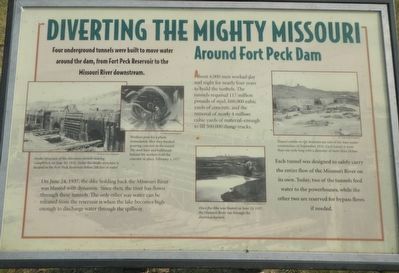
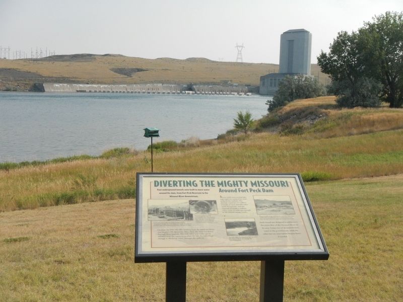
Four underground tunnels were built to move water around the dam, from Fort Peck Reservoir to the Missouri downstream
On June 24, 1937, the dike holding back the Missouri River was blasted with dynamite. Since then, the river has flown through these tunnels. The only other way water can be released from the reservoir is when the lake becomes high enough to discharge water through the spillway.
About 4,000 men worked day and night for nearly four years to build the tunnels. The tunnels required 117 million pounds of steel, 660,000 cubic yards of concrete, and the removal of nearly 4 million cubic yards of material-enough to fill 500,000 dump trucks.
Each tunnel was designed to safely carry the entire flow of the Missouri River on its own. Today, two of the tunnels feed water to the powerhouses, while the other two are reserved for bypass flows if needed.
Erected by U.S. Army Corps of Engineers.
Topics. This historical marker is listed in these topic lists: Charity & Public Work • Waterways & Vessels. A significant historical date for this entry is June 24, 1937.
Location. 48° 0.615′ N, 106° 25.307′ W. Marker is in Fort Peck, Montana, in Valley County. Marker can be reached from Yellowstone Road near Winter Harbor, on the left when
Other nearby markers. At least 8 other markers are within one mile of this marker, measured as the crow flies. Powerful Afterthoughts (here, next to this marker); Boomtowns on the Outskirts (within shouting distance of this marker); Town Built for a Dam (within shouting distance of this marker); In Memory (approx. one mile away); Built with Muscle and Muck (approx. one mile away); Fort Peck Dam (approx. one mile away); The Slide of '38 (approx. one mile away); Fort Peck Administration Building (approx. 1.1 miles away). Touch for a list and map of all markers in Fort Peck.
Credits. This page was last revised on December 20, 2020. It was originally submitted on December 7, 2020, by Barry Swackhamer of Brentwood, California. This page has been viewed 136 times since then and 7 times this year. Photos: 1, 2. submitted on December 7, 2020, by Barry Swackhamer of Brentwood, California.
