Fort Peck Dam
A Symbol of Hope
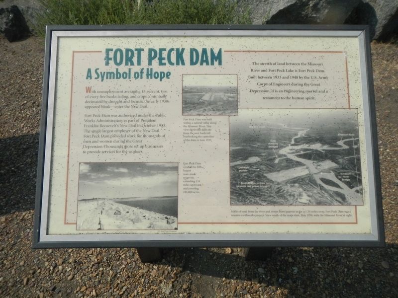
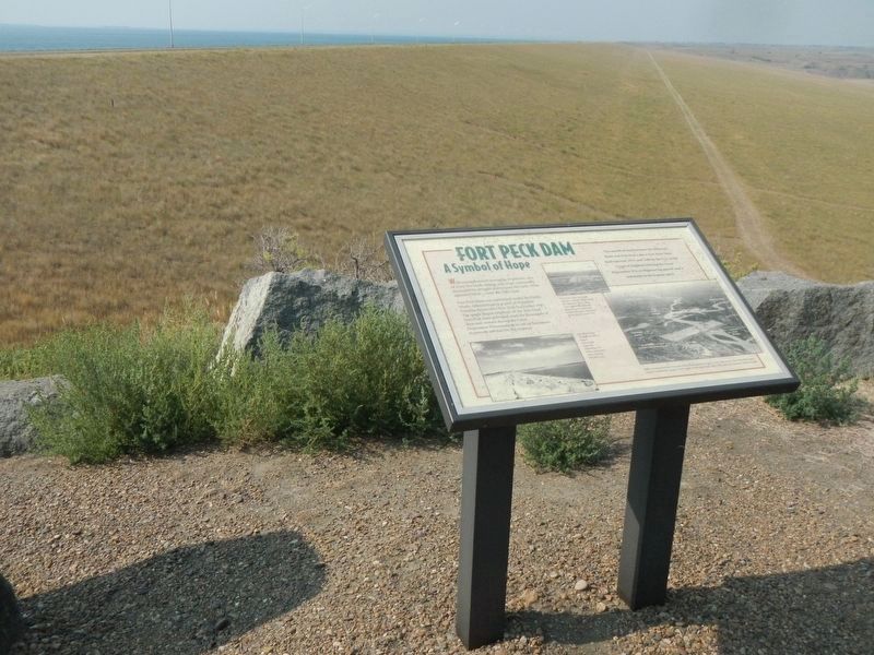
The stretch of land between the Missouri River and Fort Peck Lake is Fort Peck Dam. Built between 1933 and 1940 by the U.S. Army Corps of Engineers during the Great Depression, it is an engineering marvel and a testament to the human spirit.
With unemployment averaging 18 percent, two of every five banks failing, and crops continually decimated by drought and locusts, the early 1930s appeared bleak- enter the New Deal.
Fort Peck Dam was authorized under the Public Works Administration as part of President Franklin Roosevelt's New Deal in October 1933. The single largest employer of the New Deal. Fort Peck Dam provided work for thousands of men and women during the Great Depression. Thousands more set up businesses to provide services for the workers.
Erected by U.S. Army Corps of Engineers.
Topics and series. This historical marker is listed in these topic lists: Charity & Public Work • Waterways & Vessels. In addition, it is included in the Works Progress Administration (WPA) projects series list.
Location. 48° 0.498′ N, 106° 24.015′ W. Marker is in Fort Peck, Montana, in Valley County. Marker is at the intersection of Yager Road and State Highway 24, on the left
Other nearby markers. At least 8 other markers are within 2 miles of this marker, measured as the crow flies. The Slide of '38 (here, next to this marker); Built with Muscle and Muck (here, next to this marker); In Memory (here, next to this marker); Boomtowns on the Outskirts (approx. one mile away); Town Built for a Dam (approx. one mile away); Powerful Afterthoughts (approx. one mile away); Diverting the Mighty Missouri (approx. one mile away); Fort Peck Administration Building (approx. 2.1 miles away). Touch for a list and map of all markers in Fort Peck.
Credits. This page was last revised on December 20, 2020. It was originally submitted on December 8, 2020, by Barry Swackhamer of Brentwood, California. This page has been viewed 188 times since then and 21 times this year. Photos: 1, 2. submitted on December 8, 2020, by Barry Swackhamer of Brentwood, California.

