Near Northport in Leelanau County, Michigan — The American Midwest (Great Lakes)
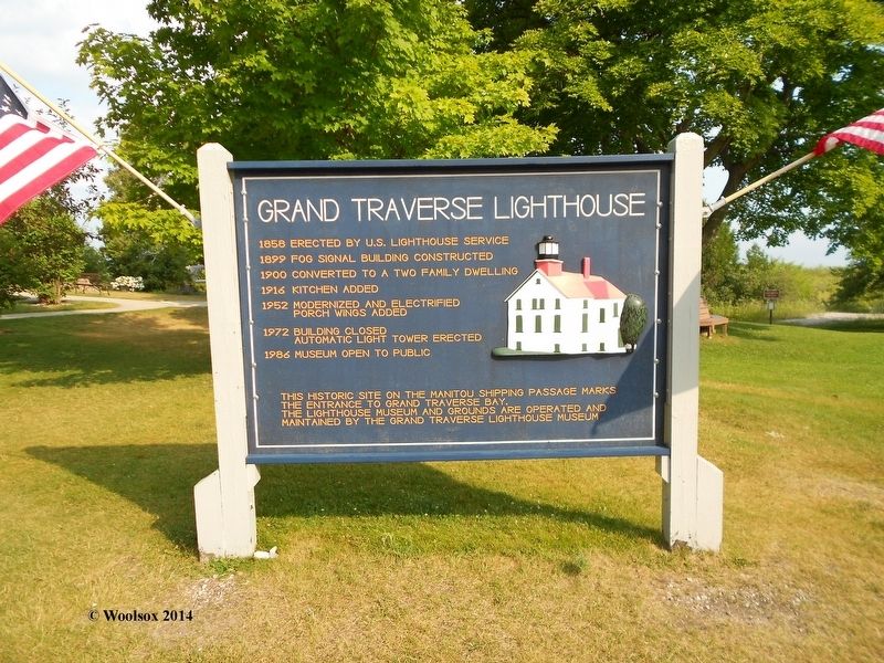
Grand Traverse Lighthouse
1858: Erected by U.S. Lighthouse Service
1899: Fog Signal Building constructed
1900: Converted to a two family dwelling
1916: Kitchen added
1952: Modernized and electrified porch wings added
1972: Building closed. Automatic Light Tower erected
1986: Museum open to the public
This historic site on the Manitou Shipping Passage marks the entrance to Grand Traverse Bay. The lighthouse museum and grounds are operated and maintained by the Grand Traverse Lighthouse Museum.
Erected by The Grand Traverse Lighthouse Museum.
Topics and series. This historical marker is listed in these topic lists: Communications • Education • Waterways & Vessels. In addition, it is included in the Lighthouses series list. A significant historical year for this entry is 1858.
Location. 45° 12.615′ N, 85° 32.981′ W. Marker is near Northport, Michigan, in Leelanau County. Marker is on North Lighthouse Point Road, on the right when traveling west. Touch for map. Marker is at or near this postal address: 15500 N Lighthouse Point Rd, Northport MI 49670, United States of America. Touch for directions.
Other nearby markers. At least 7 other markers are within 13 miles of this marker, measured as the crow flies. A different marker also named Grand Traverse Lighthouse (within shouting distance of this marker); Woolsey Family Farm / Clinton F. Woolsey Memorial Airport (approx. 3˝ miles away); Great Lakes Sport Fishery / Great Lakes Sport Fishery (approx. 6.4 miles away); Norwood Township Hall (approx. 8.2 miles away); Norwood School (approx. 8.2 miles away); Omena Presbyterian Church (approx. 10.8 miles away); St. Wenceslaus Church and Cemetery (approx. 12˝ miles away).
Credits. This page was last revised on December 8, 2020. It was originally submitted on December 8, 2020, by Dave Wilcox of Grass Lake, Michigan. This page has been viewed 91 times since then and 6 times this year. Photo 1. submitted on August 7, 2014, by Dave Wilcox of Grass Lake, Michigan. • Devry Becker Jones was the editor who published this page.
Editor’s want-list for this marker. A wide shot of the marker in context. • Can you help?
