Blacksburg in Montgomery County, Virginia — The American South (Mid-Atlantic)
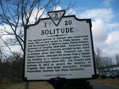
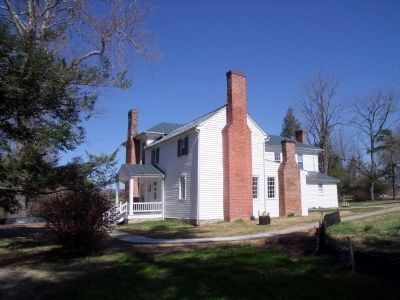
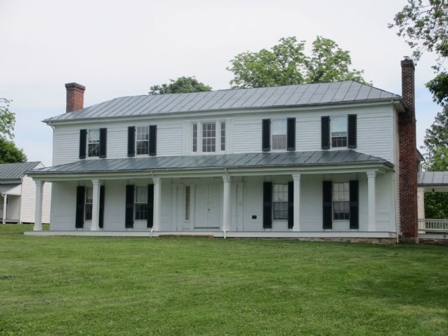
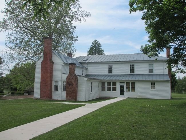
Solitude
Erected 1992 by Department of Historic Resources. (Marker Number I-20.)
Topics and series. This historical marker is listed in these topic lists: Architecture • Education • Settlements & Settlers. In addition, it is included in the Virginia Department of Historic Resources (DHR) series list. A significant historical year for this entry is 1801.
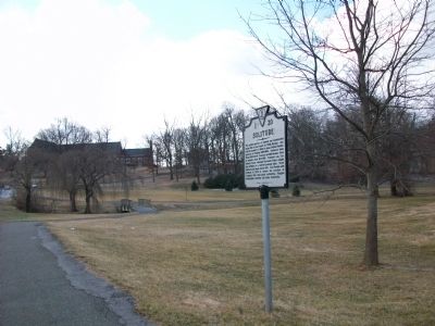
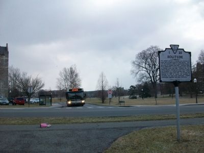
Location. 37° 13.578′ N, 80° 25.539′ W. Marker is in Blacksburg, Virginia, in Montgomery County. Marker is at the intersection of Greenhouse Drive and Drillfield Drive, on the right when traveling south on Greenhouse Drive. Touch for map. Marker is in this post office area: Blacksburg VA 24061, United States of America. Touch for directions.
Other nearby markers. At least 8 other markers are within walking distance of this marker . Native Stewardship / The Monacan Peoples (within shouting distance of this marker); Robert James Davidson (about 300 feet away, measured in a direct line); Enslaved People and the Prestons / From Plantation to College Campus (about 300 feet away); Thomas Marshall Hahn Jr. (about 500 feet away); Harvey Lee Price (about 500 feet away); John Edward Williams (about 600 feet away); Frank Leigh Robeson (about 600 feet away); Thomas Oldham Sandy (about 600 feet away). Touch for a list and map of all markers in Blacksburg.
Also see . . .
1. John B. Floyd - Virginia Encyclopedia. (Submitted on February 22, 2009, by Bill Pfingsten of Bel Air, Maryland.)
2. Solitude. Virginia Tech (Submitted on April 4, 2011, by Bernard Fisher of Richmond, Virginia.)
Credits. This page was last revised on July 16, 2023. It was originally submitted on February 17, 2009, by Kathy Walker of Stafford, Virginia. This page has been viewed 1,170 times since then and 26 times this year. Photos: 1, 2, 3. submitted on February 17, 2009, by Kathy Walker of Stafford, Virginia. 4. submitted on April 4, 2011, by Bernard Fisher of Richmond, Virginia. 5, 6. submitted on May 22, 2012, by Patricia Strat of Oakton, Virginia. • Bill Pfingsten was the editor who published this page.
