Stable
Constructed 1865
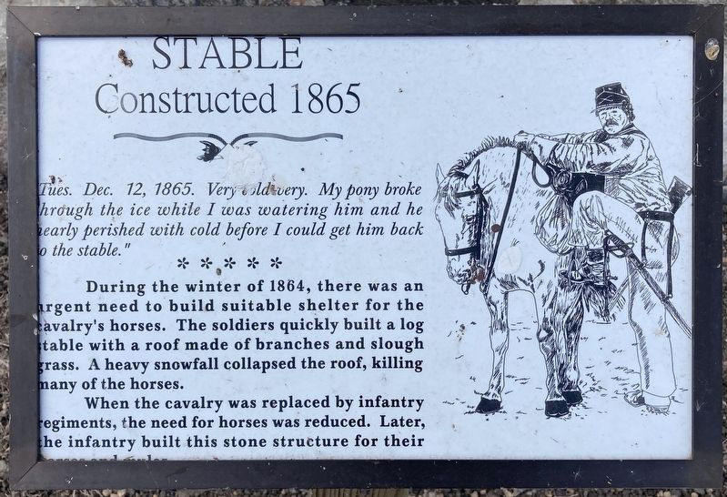
During the winter of 1864, there was an urgent need to build suitable shelter for the Calvary’s horses. The soldiers quickly built a log stable with a roof made of branches and slough grass. A heavy snowfall collapsed the roof, killing many of the horses.
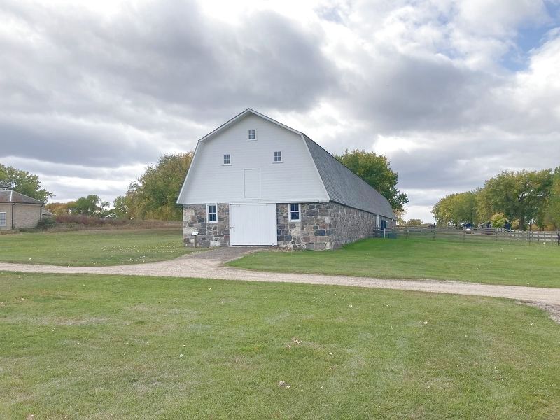
When the Calvary was replaced by infantry regiments, the need for horses was reduced. Later, the infantry built this stone structure for their horses and mules.
Erected by South Dakota Game, Fish and Parks.
Topics. This historical marker is listed in these topic lists: Animals • Forts and Castles. A significant historical date for this entry is December 12, 1865.
Location. 45° 39.53′ N, 97° 31.821′ W. Marker is near Eden, South Dakota, in Marshall County. It is on 434th Avenue. Located within Fort Sisseton State Park. Touch for map. Marker is at or near this postal address: 11907 434th Ave, Eden SD 57232, United States of America. Touch for directions.
Regionally, this marker is in the Sisseton-Wahpeton
this page online
Other nearby markers. At least 8 other markers are within walking distance of this marker: A different marker also named Hospital (within shouting distance of this marker); Library-Schoolhouse (within shouting distance of this marker); Andrew Jackson Fisk Historic Trail (within shouting distance of this marker); Fort Sisseton Military Reservation, Dakota Territory (within shouting distance of this marker); Governor William J. Janklow and Fort Sisseton (within shouting distance of this marker); Senator Curt Jones and Fort Sisseton (within shouting distance of this marker); Doctor's Residence (about 300 feet away, measured in a direct line); Blockhouse and Breastworks (about 300 feet away). Touch for a list and map of all markers in Eden.
Other markers no longer nearby. Hospital (was within shouting distance
Credits. This page was last revised on December 9, 2020. It was originally submitted on December 8, 2020, by Connor Olson of Menomonee Falls, Wisconsin. This page has been viewed 212 times since then and 11 times this year. Photos: 1, 2. submitted on December 8, 2020, by Connor Olson of Menomonee Falls, Wisconsin. • Mark Hilton was the editor who published this page.
