Near Cartwright in McKenzie County, North Dakota — The American Midwest (Upper Plains)
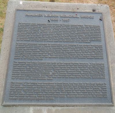
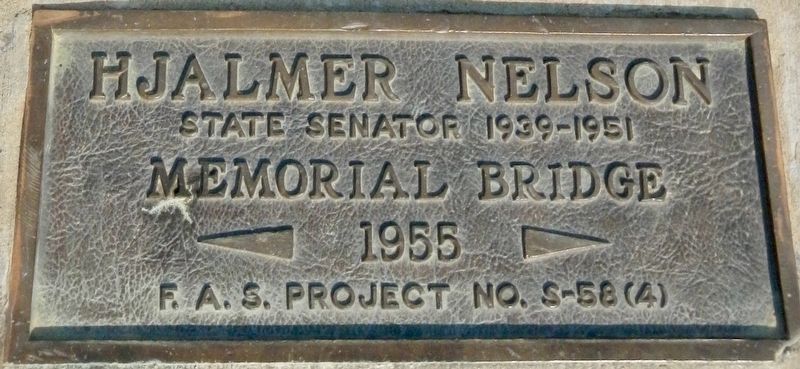
Hjalmer Nelson Memorial Bridge
1955 - 1997
Photographed by Barry Swackhamer, August 27, 2020
1. Hjalmer Nelson Memorial Bridge Marker
By the time preliminary estimates for construction were available, it was obvious that $500,000 to match
this page online
The crossing and bridge location was north of the present highway structure. It was selected based upon geology and the alignment with Highway 93 that was completed on both the east and west side. Steel for the bridge came from casting and forging from the United States Steel Corporation, Gary, Indiana; Locomotive Finished Material Company, Atchison, Kansas; and the Kropp Forge Company, Cicero, Illinois. The Kansas Structural Steel Company, Kansas City, Kansas,
Photographed by Barry Swackhamer, August 26, 2020
2. Hjalmer Nelson Memorial Bridge Marker
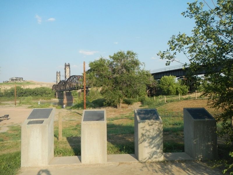
The marker is on the left.
The design of the bridge was considered a deck truss, and was one of two such designs in the state. The design is basically a through truss, with the deck constructed on the top cord. This particular structure had five spans measuring from 252 feet to 378 feet in length. Three steel girder approach spans, connecting land to the bridge at both ends, ranged from 101 feet to 130 feet. The total length of the bridge was 1,921 feet; the road width was 22 feet. More than 3.8 million pounds of steel and 6, 545 cubic yards of concrete were used in its construction. Over the years the design, with it narrow road width, became substandard and the bridge was replaced with the present structure in 1998.
Topics. This historical marker is listed in this topic list: Bridges & Viaducts. A significant historical year for this entry is 1949.
Location. 47° 51.518′ N, 103° 58.158′ W.
Photographed by Barry Swackhamer, August 26, 2020
3. Hjalmer Nelson Memorial Bridge

Regionally, this marker is in the Bakken Oil Patch. It is also in the American Lewis & Clark Corridor, on the prairies, and on the Northern Plains. Globally, it is in North America, the Western Hemisphere, the Western World, and the Anglosphere. Historically, it finds itself in what was once Rupert’s Land and also the Louisiana Purchase.
Other nearby markers. At least 8 other markers are within 9 miles of this marker, measured as the crow flies: The Montana Eastern Railway Company (here, next to this marker); Fairview Lift Bridge (here, next to this marker); The Cartwright Tunnel (here, next to this marker); Mining Lignite Coal (approx. 3½ miles away in Montana); Plants of the Plains (approx. 8.6 miles away); Water Ways and Mean (approx. 8.6 miles away); Mosquitoes (approx. 8.8 miles away); Missouri-Yellowstone Confluence (approx. 8.8
Photographed by Google maps, December 9, 2020
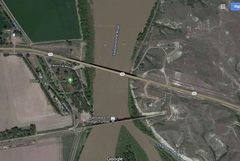
4. Hjalmer Nelson Memorial Bridge is long gone.
All that remain of the bridge are two pillar in the middle of the Yellowstone River, north of the Montana State Highway 200 bridge. (Two tiny dots on either side of "Yellowstone River.")
Credits. This page was last revised on December 9, 2020. It was originally submitted on December 9, 2020, by Barry Swackhamer of Brentwood, California. This page has been viewed 617 times since then and 35 times this year. Photos: 1, 2, 3, 4. submitted on December 9, 2020, by Barry Swackhamer of Brentwood, California.
