Near Cartwright in McKenzie County, North Dakota — The American Midwest (Upper Plains)
The Cartwright Tunnel
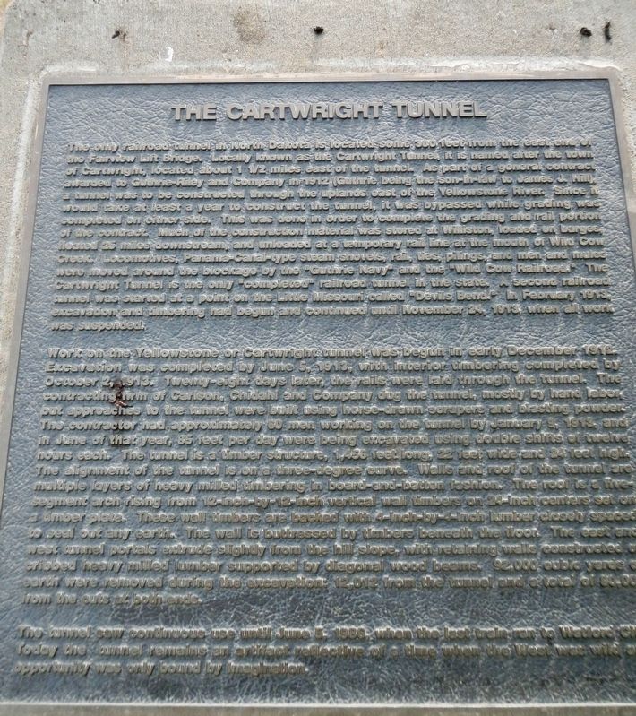
The only railroad tunnel in North Dakota is located some 300 feet from the east end of the Fairview Lift Bridge. Locally known as the Cartwright Tunnel, it is named after the town of Cartwright, located about 1 1/ miles east of the tunnel. As part of a general contract awarded to Guthrie-Riley and Company in 1912 (Guthrie being the son-in-law to James J. Hill a tunnel was to be constructed through the uplands east of the Yellowstone River. Since it would take at least a year to construct the tunnel, it was bypassed while grading was completed on either side. This was done in order to complete the grading and rail portion of the contract. much of the construction material was stored at Williston, loaded on barges, floated 25 miles downstream, and unloaded at a temporary rail line at the mouth of Wild Cow Creek. Locomoitves, Panama-Canal-type steam shovels, rail, ties, pilings, and men and mules were moved around the blockage by the "Guthrie Navy" and the "Wild Cow Railroad." The Cartwright Tunnel is the only "completed" railroad tunnel in the state. A second railroad tunnel was started at a point on the Little Missouri called "Devils Bend." In February 1913, excavation and timbering had begun and continued until November 24, 1913, when all work was suspended.
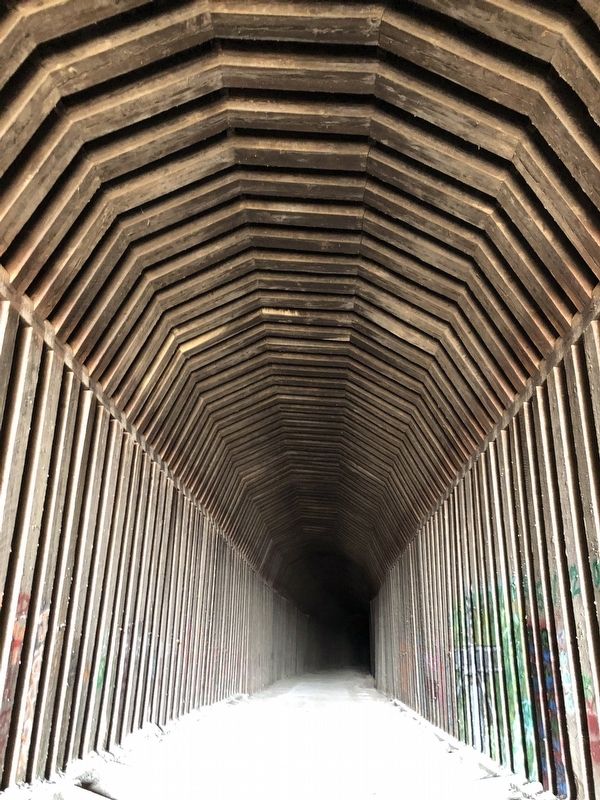
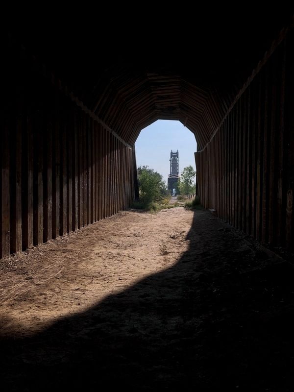
Work on the Yellowstone or Cartwright tunnel was begun in early December, 1912. Excavation was completed by June 5, 1913, with interior timbering completed by October 2, 1913. Twenty-eight days later, the rails were laid through the tunnel. The contracting firm of Carlson, Chidahl and Company dug the the tunnel, mostly by had labor, but approaches to the tunnel were built using horse-drawn scrapers and blasting powder. The contractor had approximately 60 men working on the tunnel by January 9, 1913, and in June of that year, 85 feet per day were being excavated using double shifts of twelve hours each. The tunnel is a timber structure, 1.456 feet long, 22 feet wide and 24 feet high. The alignment of the tunnel is on a three-degree curve. Walls and roof of the tunnel are multiple layers of heavy milled timbering in board-and-batten fashion. The roof is a five- segment arch rising from 12-inch-by-12 inch vertical wall timbers on 24-inch centers set on a timber plate. These wall timbers are backed with 4-inch-by-4-inch lumber closely spaced to seal out any earth. The wall is buttressed by timbers beneath the floor. The east and west tunnel portals extrude slightly from the hill slope, with retaining walls constructed of cribbed heavy milled lumber supported by diagonal wood beams. 92,000 cubic yards of earth were removed during the excavation: 12,012 from the tunnel and a total of 80,000 from the cuts at both ends.
The tunnel
saw continuous use until June 5, 1986, when the last train ran to Watford City. Today the tunnel remains an artifact reflective of a time when the West was wild and opportunity was only bound by imagination.
Topics. This historical marker is listed in this topic list: Railroads & Streetcars.
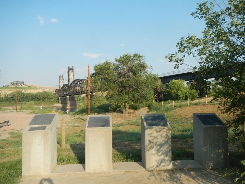
Location. 47° 51.518′ N, 103° 58.158′ W. Marker is near Cartwright, North Dakota, in McKenzie County. Marker can be reached from Black Top Road near State Highway 200. The marker is in Sundheim Park near the lift bridge. Touch for map. Marker is in this post office area: Cartwright ND 58838, United States of America. Touch for directions.
Other nearby markers. At least 8 other markers are within 9 miles of this marker, measured as the crow flies. Hjalmer Nelson Memorial Bridge (here, next to this marker); The Montana Eastern Railway Company (here, next to this marker); Fairview Lift Bridge (here, next to this marker); Mining Lignite Coal (approx. 3˝ miles away in Montana); Plants of the Plains (approx. 8.6 miles away); Water Ways and Mean (approx. 8.6 miles away); Mosquitoes (approx. 8.8 miles away); Missouri-Yellowstone Confluence (approx. 8.8 miles away). Touch for a list and map of all markers in Cartwright.
Credits. This page was last revised on April 11, 2022. It was originally submitted on December 9, 2020, by Barry Swackhamer of Brentwood, California. This page has been viewed 444 times since then and 49 times this year. Photos: 1, 2, 3, 4. submitted on December 9, 2020, by Barry Swackhamer of Brentwood, California.


