Downtown in St. Louis, Missouri — The American Midwest (Upper Plains)
An Explosion Saves The City
Jefferson National Expansion Memorial
— National Park Service, U.S. Department of the Interior —
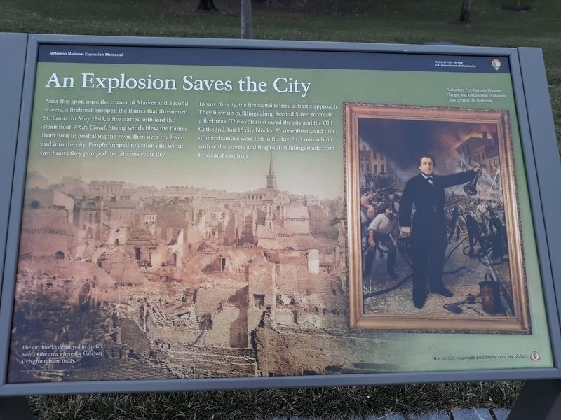
Near this spot, once the corner of Market and Second streets, a firebreak stopped the flames that threatened St. Louis. In May 1849, a fire started onboard the steamboat White Cloud. Strong winds blew the flames from boat too boat along the river, then over the levee and into the city. People jumped to action and within two hours they pumped the city reservoir dry.
To save the city, the fire captains tried a drastic approach. They blew up buildings along Second Street to create a firebreak. The explosion saved the city and the Old Cathedral, but 15 city blocks, 23 steamboats, and tons of merchandise were lost in the fire. St. Louis rebuilt with wider streets and fireproof buildings made from brick and cast iron.
The city blocks destroyed in the fire were in the area where the Gateway Arch grounds are today.
Erected by National Park Service, U.S. Department of the Interior.
Topics. This historical marker is listed in these topic lists: Charity & Public Work • Disasters • Waterways & Vessels. A significant historical month for this entry is May 1849.
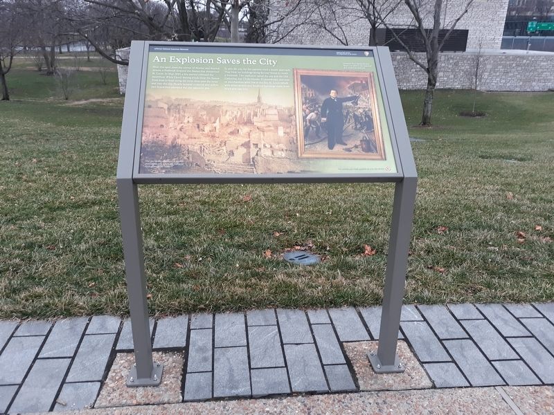
Location. 38° 37.477′ N, 90° 11.212′ W. Marker is in St. Louis, Missouri. It is in Downtown. Marker is on Gateway Arch Trail, on the right when traveling north. At the intersection of 2nd and Washington you will find a paid parking area. Walk under the bridge and follow the path to the Arch. All markers are along the Gateway Arch Trail. Touch for map. Marker is at or near this postal address: 57 N Leonor K Sullivan Blvd, Saint Louis MO 63102, United States of America. Touch for directions.
Other nearby markers. At least 8 other markers are within walking distance of this marker. To Honor Eero Saarinen, Architect, FAIA (within shouting distance of this marker); Basilica of Saint Louis, King (within shouting distance of this marker); First Conference, Society of Saint Vincent de Paul (about 300 feet away, measured in a direct line); Commercial Beginnings (about 400 feet away); KMOX (about 400 feet away); Church Domain (about 400 feet away); Rue des Granges (about 400 feet away); Abraham Lincoln Slept Here (about 400 feet away). Touch for a list and map of all markers in St. Louis.
Additional commentary.
1. Gateway Arch National Park
This marker was erected before the name of the National Park was formally changed. Prior to 2018, while popularly known as "The Gateway Arch," the park's formal name was the Jefferson National Expansion Memorial.
— Submitted December 10, 2020, by Devry Becker Jones of Washington, District of Columbia.
Credits. This page was last revised on December 29, 2023. It was originally submitted on December 10, 2020, by Craig Doda of Napoleon, Ohio. This page has been viewed 270 times since then and 16 times this year. Last updated on November 27, 2023, by Darren Jefferson Clay of Duluth, Georgia. Photos: 1, 2. submitted on December 10, 2020, by Craig Doda of Napoleon, Ohio. • Devry Becker Jones was the editor who published this page.

