The Water Tower
Ha Ha Tonka State Park
— Missouri State Parks —
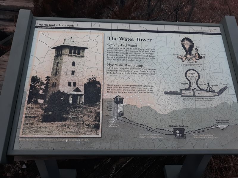
Gravity-Fed Water
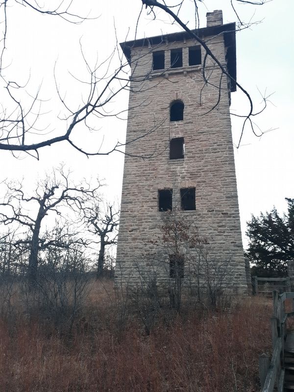
A tank at the top of this 80-foot structure provided gravity-fed water to the mansion. Employees of the estate and their families were housed in quarters beneath the tank. The water tower escaped damage from the 1942 fire that gutted the mansion and stable, but it was burned by vandals in 1976.
Hydraulic Ram Pump
A hydraulic ram pump, powered by water pressure
and gravity, was used to lift water from the spring
to the tank-a vertical distance of nearly 300 feet.
The illustration, including transparent water tower
walls, shows the position of the water tank inside
the water tower and the relative positions of the
tower, ram pump and water source to one another.
Erected by Missouri Department of Natural Resources.
Topics. This historical marker is listed in these topic lists: Agriculture • Forts and Castles • Natural Resources. A significant historical year for this entry is 1942.
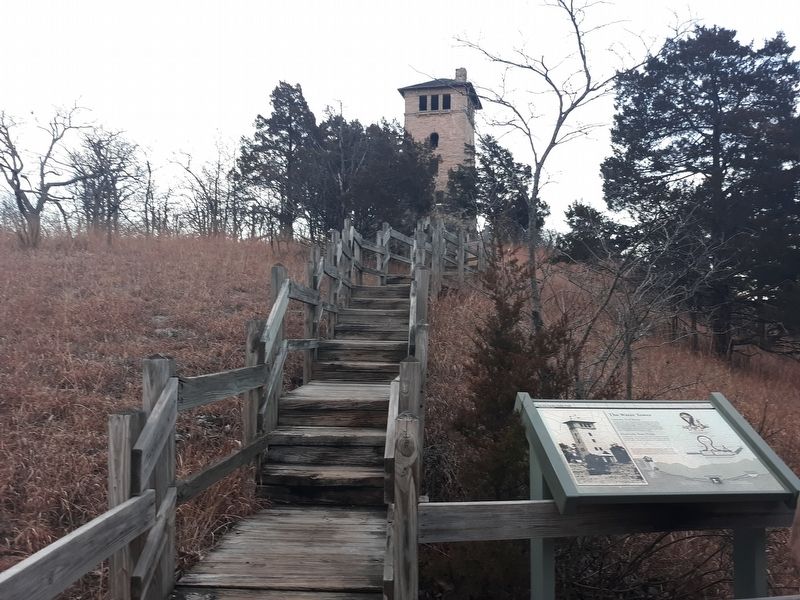
Location. 37° 58.5′ N, 92° 46′ W. Marker is in Ha Ha Tonka, Missouri, in Camden County. Marker can be reached from Natural Bridge Road, half a mile west of State Highway D, on the left when traveling west. The marker is along the short path to the water tower from the parking lot. Touch for map.
Other nearby markers. At least 4 other markers are within walking distance of this marker. Water: Sculpting The Landscape (within shouting distance of this marker); Snyder's Legacy (about 300 feet away, measured in a direct line); One Man's Dream (about 300 feet away); American Indians, Trappers and Settlers (about 300 feet away).
Credits. This page was last revised on December 10, 2020. It was originally submitted on December 10, 2020, by Craig Doda of Napoleon, Ohio. This page has been viewed 648 times since then and 184 times this year. Photos: 1, 2, 3. submitted on December 10, 2020, by Craig Doda of Napoleon, Ohio. • Devry Becker Jones was the editor who published this page.


