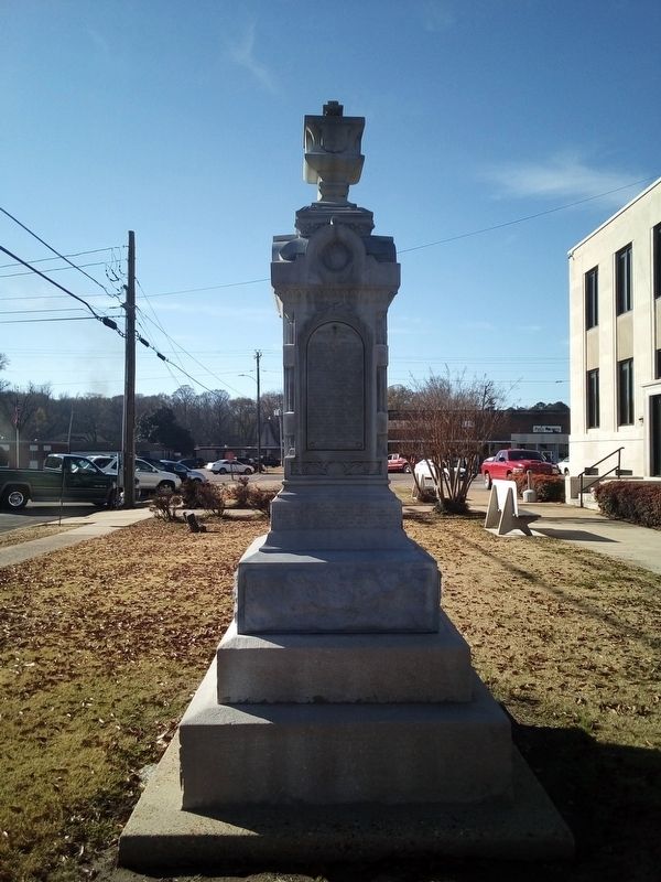
Selmer in McNairy County, Tennessee — The American South (East South Central)
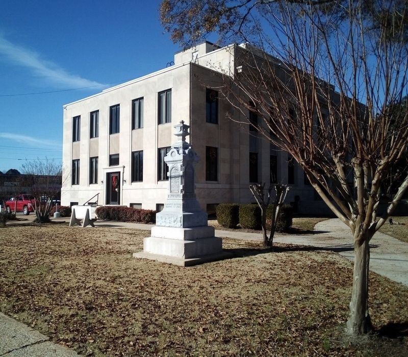
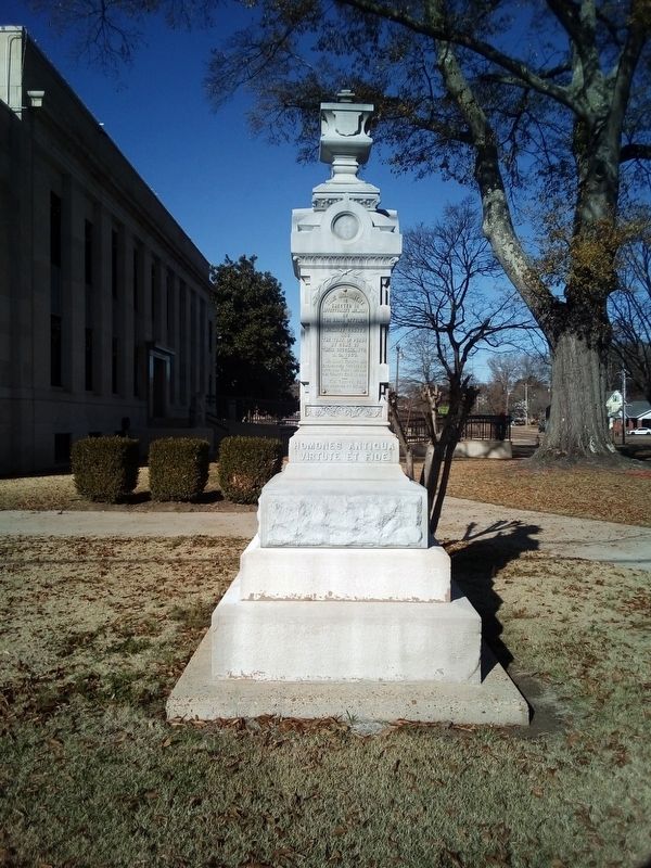
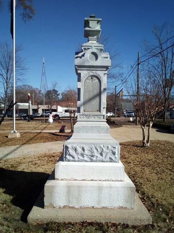
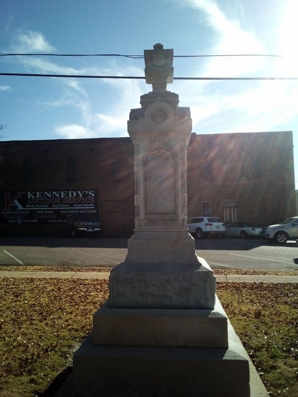
In affectionate memory of the early settlers of McNairy County and the Town of Purdy
By some of their descendants AD 1903
Inscription.
McNairy County was established October 9, 1820, and Purdy became the County Seat in 1822.
The County Seat was removed to Selmer in 1920.
Erected 1903 by Descendants of early settlers.
Topics. This historical marker is listed in these topic lists: Political Subdivisions • Settlements & Settlers. A significant historical year for this entry is 1823.
Location. 35° 10.229′ N, 88° 35.604′ W. Marker is in Selmer, Tennessee, in McNairy County. Marker is at the intersection of East Court Avenue (Business U.S. 64) and South 3rd Street, on the left when traveling north on East Court Avenue. This marker is on the South side of Courthouse. Touch for map. Marker is at or near this postal address: 170 W Court Ave, Selmer TN 38375, United States of America. Touch for directions.
Other nearby markers. At least 8 other markers are within walking distance of this marker. McNairy County War Memorial (within shouting distance of this marker); McNairy County Music Hall of Fame & Trail of Music Legends — 2019 Inductees (within shouting distance of this marker); McNairy County Confederate Veterans Memorial (within shouting distance of this marker); McNairy County Music Hall of Fame & Trail of Music Legends — 2017 Inductees (within shouting distance of this marker); McNairy County Music Hall of Fame & Trail of Music Legends — 2015 Inductees (within shouting distance of this marker); McNairy County's Trail of Music Legends (about 300 feet away, measured in a direct line); McNairy County Music Hall of Fame & Trail of Music Legends — 2020 Inductees (about 400 feet away); McNairy County Music Hall of Fame & Trail of Music Legends — 2014 Inductees (about 400 feet away). Touch for a list and map of all markers in Selmer.
Credits. This page was last revised on December 12, 2020. It was originally submitted on December 10, 2020, by David Austin of Scotts Hill, Tennessee. This page has been viewed 250 times since then and 39 times this year. Photos: 1, 2, 3, 4, 5. submitted on December 10, 2020, by David Austin of Scotts Hill, Tennessee. • Devry Becker Jones was the editor who published this page.
