Carthage in Smith County, Tennessee — The American South (East South Central)
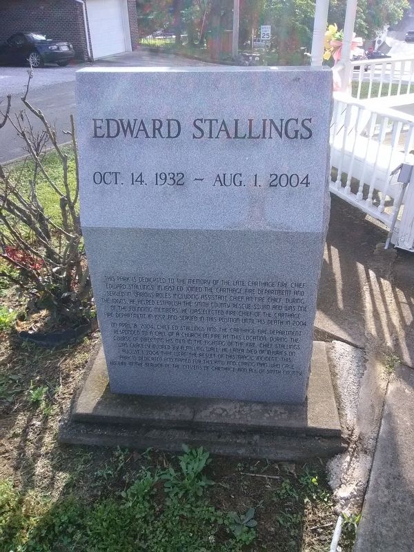
Edward Stallings
Oct. 14, 1932 - Aug. 1, 2004
Photographed by Craig Doda, May 18, 2018
1. Edward Stallings Marker
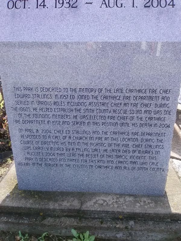
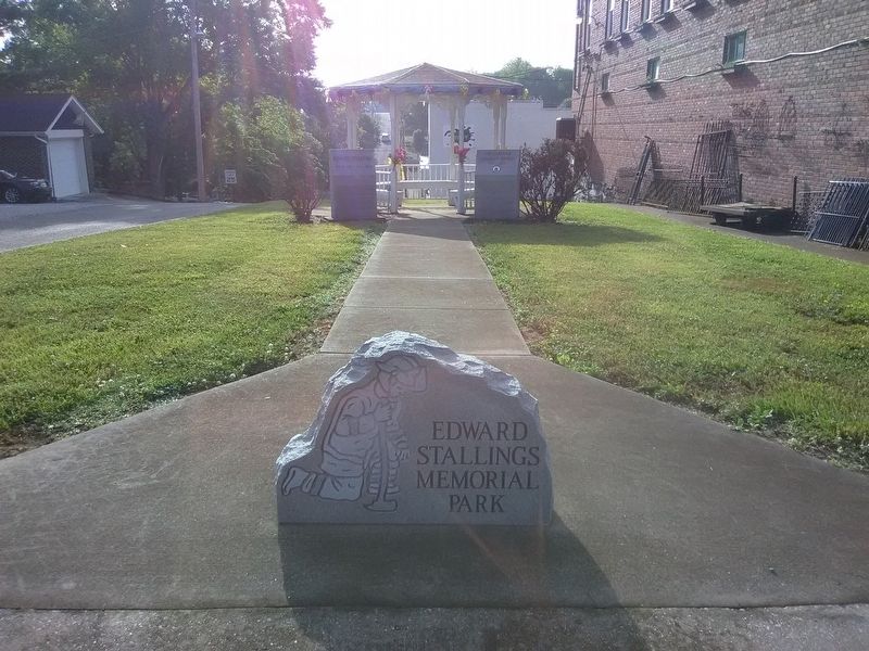
This park is dedicated to the memory of the late Carthage Fire Chief Edward Stallings in 1957 Ed joined the Carthage fire department and served in various roles including assistant chief an fire chief during the 1960s. He helped establish the Smith County rescue squad and was one of the founding members. He was elected fire chief of the Carthage Fire Department in 1992 and served in this position until his death in 2004.
On April 8, 2004, Chief Ed Stallings and the Carthage fire department
responded to a call of a church on fire at this location. During the
course of directing his men in the fighting of the fire Chief Stallings
was gravely injured by a falling wall. He later died of injuries on
August 1, 2004 that were the result of this tragic incident. this
park is dedicated and named for this kind and caring man who gave his life in the service of the citizens of Carthage and all of Smith County.
Topics. This historical marker is listed in these topic lists: Charity & Public Work • Disasters • Parks & Recreational Areas. A significant historical date for this entry is April 8, 2004.
Location. 36° 15.189′ N, 85° 57.1′ W.
this page online

Regionally, this marker is in Middle Tennessee and in the Highland Rim. It is also in the American South and specifically in the Upper South. Globally, it is in North America, the Western Hemisphere, the Western World, and the Anglosphere. Historically, it finds itself in what was once the territory of the Mississippian Culture, one of the Confederate States of America, and the Antebellum South.
Other nearby markers. At least 8 other markers are within walking distance of this marker: The Carthage Christian Church (here, next to this marker); Louise Scruggs (about 500 feet away, measured in a direct line); DeFord Bailey (about 500 feet away); Smith County September 11 Monument (about 500 feet away); Smith County Veterans Memorial (about 600 feet away); Benton McMillin (about 700 feet away); Captain William Walton
Photographed by Craig Doda, May 18, 2018
2. Edward Stallings Marker
Also see . . . Edward ‘Ed’ Stallings. (Submitted on December 11, 2020, by Craig Doda of Napoleon, Ohio.)
Photographed by Craig Doda, May 18, 2018
3. Edward Stallings Marker
Credits. This page was last revised on December 12, 2020. It was originally submitted on December 11, 2020, by Craig Doda of Napoleon, Ohio. This page has been viewed 328 times since then and 24 times this year. Photos: 1, 2, 3. submitted on December 11, 2020, by Craig Doda of Napoleon, Ohio. • Devry Becker Jones was the editor who published this page.
