Malone in Fond du Lac County, Wisconsin — The American Midwest (Great Lakes)
St. John The Baptist Church
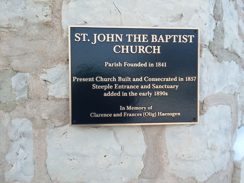
Photographed by Craig Doda, January 25, 2019
1. Saint John The Baptist Church Marker
Present Church Built and Consecrated in 1857
Steeple Entrance and Sanctuary
added in the early 1890s
In Memory of
Clarence and Frances (Olig) Haensgen
Topics. This historical marker is listed in this topic list: Religion & Religious Structures. A significant historical year for this entry is 1841.
Location. 43° 52.611′ N, 88° 17.421′ W. Marker is in Malone, Wisconsin, in Fond du Lac County. It is at the intersection of County Road W and County Road Q, on the right when traveling south on County Road W. Mounted on the front of the church. Touch for map. Marker is at or near this postal address: N9288 County Rd W, Malone WI 53049, United States of America. Touch for directions.

Regionally, this marker is in the Fox River Valley. It is also in the American Midwest and in the Corn Belt. Globally, it is in North America, the Western Hemisphere, the Western World, and the Anglosphere. Historically, it finds itself in what was once the territory of the Mississippian Culture and also the Northwest Territory.
Other nearby markers. At least 8 other markers are within 9 miles of this marker,
this page online
Another marker is no longer nearby. Toll Gate on the Military Trail (was approx. 7.3 miles away but has been replaced with another marker now near it).
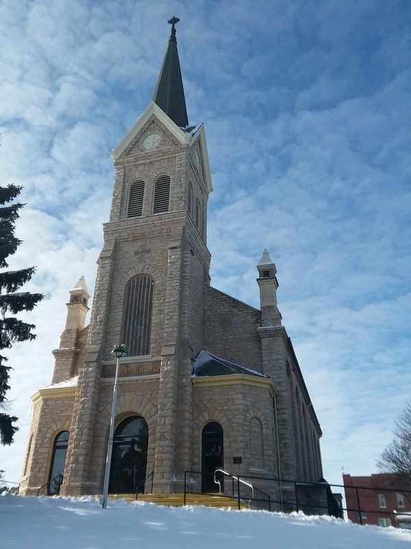
Photographed by Craig Doda, January 25, 2019
2. Saint John The Baptist Church
Credits. This page was last revised on December 12, 2020. It was originally submitted on December 11, 2020, by Craig Doda of Napoleon, Ohio. This page has been viewed 413 times since then and 36 times this year. Photos: 1, 2. submitted on December 11, 2020, by Craig Doda of Napoleon, Ohio. • Mark Hilton was the editor who published this page.
