Commanding Officer's Quarters
Constructed 1865-1867
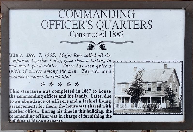
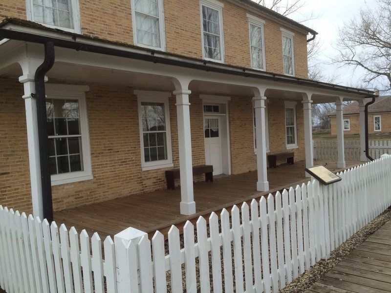
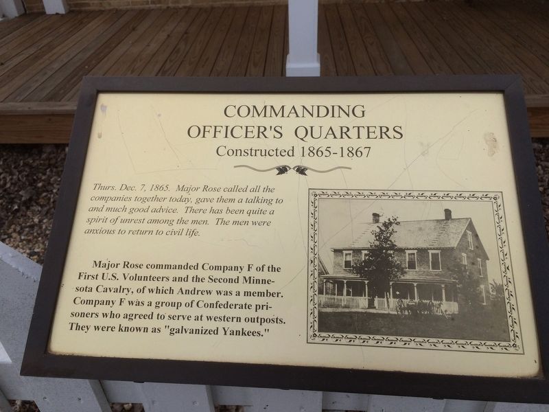
This structure was completed in 1867 to house the commanding officer and his family. Later, due to an abundance of officers and a lack of living arrangements for them, the house was shared with another officer. During his time in this building, the commanding officer was in charge of furnishing the building at his own expense.
Erected by South Dakota Game, Fish and Parks.
Topics. This historical marker is listed in these topic lists: Forts and Castles • Settlements & Settlers. A significant historical year for this entry is 1882.
Location. Marker has been reported permanently removed. It was located near 45° 39.466′ N, 97° 31.874′ W. Marker was near Eden, South Dakota, in Marshall County. It could be reached from 434th Avenue (County Road 5) 1½ miles 118th Street. The Marker is located 500 feet from the parking lot on the main foot path. Touch for map. Marker was in this post office area: Eden
this page online
We have been informed that this marker is no longer there and will not be replaced. This page is an archival view of what was.
Regionally, this marker was in the Sisseton-Wahpeton Oyate and in East River. It was also in the American Lewis & Clark Corridor, on the prairies, and on the Northern Plains. Globally, it was in North America, the Western Hemisphere, the Western World, and the Anglosphere. Historically, it found itself in what was once Rupert’s Land and also the Louisiana Purchase.

Other nearby markers. At least 8 other markers are within walking distance of this location: Officers' Quarters (within shouting distance of this marker); Fort Sisseton (within shouting distance of this marker); Doctor's Residence (within shouting distance of this marker); Hospital (within shouting distance of this marker); Adjutant's Office (within shouting distance of this marker); Blockhouse and Breastworks (about 300 feet away); Magazine (about 300 feet away); Library-Schoolhouse (about 300 feet away). Touch for a list and map of all markers in Eden.
Other markers no longer nearby. Hospital
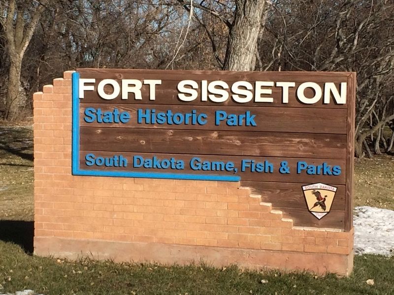
Also see . . . Fort Sisseton State Historic Park. (Submitted on February 4, 2017, by Ruth VanSteenwyk of Aberdeen, South Dakota.)
Credits. This page was last revised on December 12, 2020. It was originally submitted on February 4, 2017, by Ruth VanSteenwyk of Aberdeen, South Dakota. This page has been viewed 361 times since then and 16 times this year. Last updated on December 11, 2020, by Connor Olson of Menomonee Falls, Wisconsin. Photos: 1. submitted on December 11, 2020, by Connor Olson of Menomonee Falls, Wisconsin. 2, 3, 4, 5. submitted on February 4, 2017, by Ruth VanSteenwyk of Aberdeen, South Dakota. • Mark Hilton was the editor who published this page.
