Shoshone in Inyo County, California — The American West (Pacific Coastal)
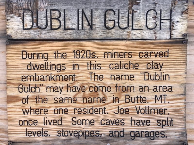
Dublin Gulch
Photographed by Craig Baker, October 31, 2020
1. Dublin Gulch Marker
Topics. This historical marker is listed in this topic list: Settlements & Settlers.
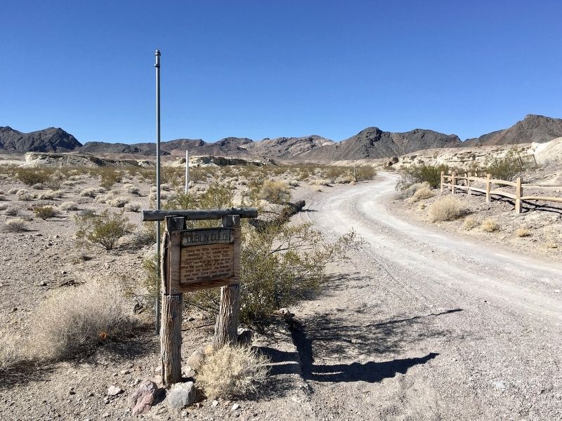
Location. 35° 58.392′ N, 116° 16.289′ W. Marker is in Shoshone, California, in Inyo County. It can be reached from California Route 127 just north of Charles Brown Highway, on the left when traveling north. From Highway 127, drive ¼ mile west on a narrow dirt road past the Shoshone Cemetery to the parking area. The marker is on the left side of the road near the cemetery. Touch for map. Marker is in this post office area: Shoshone CA 92384, United States of America. Touch for directions.

Regionally, this marker is in the Sierra Nevada. It is also in the American Mountain West. Globally, it is in North America, on the Ring of Fire, on the Pacific Rim, in the Western Hemisphere, in the Western World, and in the Anglosphere.
this page online
Other nearby markers. At least 3 other markers are within 16 miles of this marker, measured as the crow flies: Shoshone (about 800 feet away, measured in a direct line); China Ranch (approx. 12.7 miles away); Original Tecopa Town Site (approx. 15.3 miles away).
Regarding Dublin Gulch. Inquire at the Shoshone Museum about guided tours, including access inside the dwellings.
Photographed by Craig Baker, October 31, 2020
2. Dublin Gulch and Marker
Photographed by Craig Baker, October 31, 2020
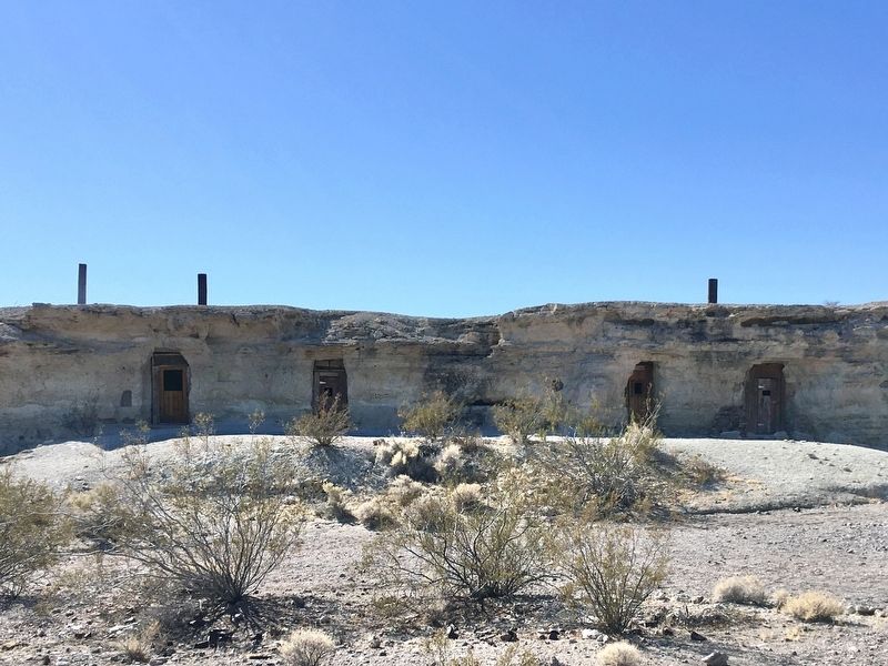
3. Dublin Gulch
Photographed by Craig Baker, October 31, 2020
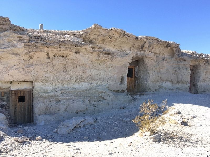
4. Dublin Gulch
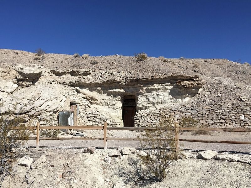
Photographed by Craig Baker, October 31, 2020
5. Dublin Gulch
Credits. This page was last revised on December 30, 2021. It was originally submitted on November 6, 2020, by Craig Baker of Sylmar, California. This page has been viewed 1,538 times since then and 90 times this year. Last updated on December 12, 2020, by Craig Baker of Sylmar, California. Photos: 1, 2, 3, 4, 5. submitted on November 6, 2020, by Craig Baker of Sylmar, California. • J. Makali Bruton was the editor who published this page.
