Fort Johnson in Montgomery County, New York — The American Northeast (Mid-Atlantic)
Fort Johnson
Photographed by Craig Doda, June 4, 2019
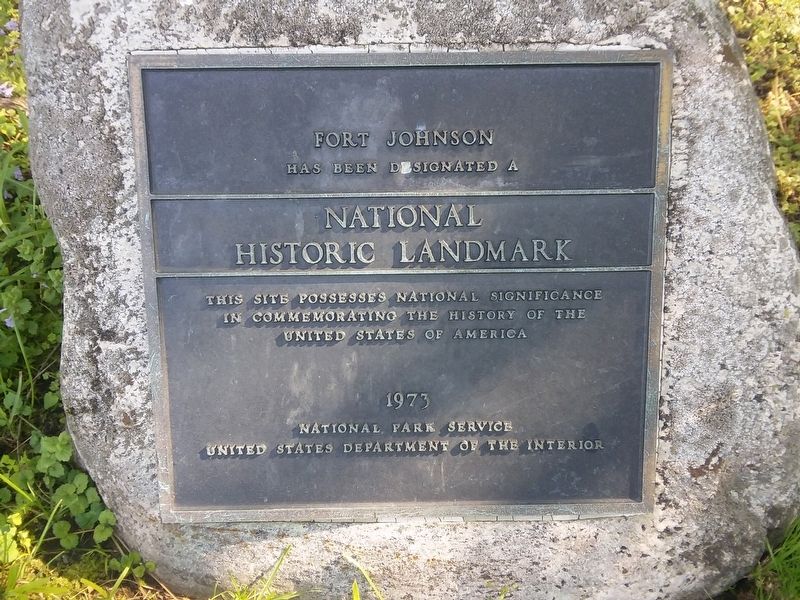
1. Fort Johnson Marker
Has Been Designated a
National Historic Landmark
This Site Possesses National Significance
In Commemorating the History of the
United States of America
1973
National Park Service
United States Department of the Interior
Erected 1973.
Topics. This historical marker is listed in this topic list: Forts and Castles. A significant historical year for this entry is 1973.
Location. 42° 57.429′ N, 74° 14.418′ W. Marker is in Fort Johnson, New York, in Montgomery County. It is at the intersection of New York State Route 5 and Fort Johnson Avenue ( Route 67), on the right when traveling west on New York State Route 5. Touch for map. Marker is in this post office area: Fort Johnson NY 12070, United States of America. Touch for directions.

Regionally, this marker is in Upstate New York and in the Mohawk Valley. It is also in the American Northeast and in the Mid-Atlantic. Globally, it is in North America, the Western Hemisphere, the Western World, and the Anglosphere. Historically, it finds itself in what was once the Haudenosaunee (Iroquois) Confederacy, New Netherland, and one of the original
this page online
Other nearby markers. At least 8 other markers are within walking distance of this marker: A different marker also named Fort Johnson (here, next to this marker); The Orchard at Old Fort Johnson (here, next to this marker); Fort Johnson, 1749 (within shouting distance of this marker); Johnson Trail (about 300 feet away, measured in a direct line); Canal Culverts (approx. 0.3 miles away); Barge Canal (approx. 0.3 miles away); The Last Improvements (approx. 0.3 miles away); Two Problems Solved (approx. 0.3 miles away). Touch for a list and map of all markers in Fort Johnson.
More about this marker.
Old Fort Johnson is home to the Montgomery County Historical Society.
Regarding Fort Johnson.
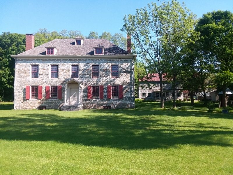
Old Fort Johnson is the limestone house built by William Johnson in 1749. It was fortified during the French & Indian Wars from 1755-63. Johnson convened many Native American conferences here as the British Superintendent of Indian Affairs for the Northern Department. King George II made Johnson a Baronet in 1755 after his heroic victories in the Battles of Lake George & Fort Niagara. Old Fort Johnson and other Johnson
Photographed by Craig Doda, June 4, 2019
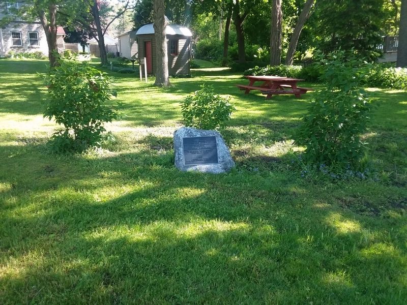
2. Fort Johnson Marker
Also see . . .
1. Old Fort Johnson - Montgomery County Historical Society. (Submitted on December 13, 2020, by Michael Herrick of Southbury, Connecticut.)
2. Sir William Johnson, 1st Baronet (Wikipedia). (Submitted on December 13, 2020, by Michael Herrick of Southbury, Connecticut.)
3. Fort Johnson - National Archives. National Register of Historic Places documentation (Submitted on March 24, 2024, by Anton Schwarzmueller of Wilson, New York.)
Photographed by Craig Doda, June 4, 2019
3. Fort Johnson
Credits. This page was last revised on March 24, 2024. It was originally submitted on December 12, 2020, by Craig Doda of Napoleon, Ohio. This page has been viewed 448 times since then and 34 times this year. Photos: 1, 2, 3. submitted on December 12, 2020, by Craig Doda of Napoleon, Ohio. • Michael Herrick was the editor who published this page.
