Farmington Hills in Oakland County, Michigan — The American Midwest (Great Lakes)
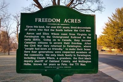
Freedom Acres
Upon this land, for over 100 years, lived descendants of slaves who fled the South before the Civil War.
Aaron and Ellen Wilson came from Virginia to Farmington via the Underground Railroad in the early 1850s. Going on to Canada, they became Canadian citizens to secure their freedom. After the Civil War they returned to Farmington, where "people had been so friendly," to make their home. Here four generations were respected members of the community, the only black family in Farmington, including Claude Wilson, a grandson, the first black deputy sheriff of Oakland County, and Wellington Hullm, known for years as Pete, the TV Man.
Erected 1987 by Farmington Hills Historical Commission.
Topics. This historical marker is listed in these topic lists: Abolition & Underground RR • African Americans.
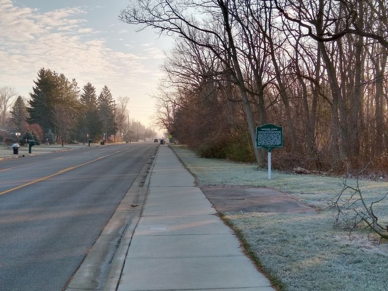
Location. Marker has been reported missing. It was located near 42° 29.086′ N, 83° 21.155′ W. Marker was in Farmington Hills, Michigan, in Oakland County. Marker was at the intersection of West Eleven Mile Road and Barbados Road, on the right when traveling east on West Eleven Mile Road. Touch for map. Marker was at or near this postal address: 30705 West Eleven Mile Road, Farmington MI 48336, United States of America. Touch for directions.
Other nearby markers. At least 8 other markers are within 2 miles of this location, measured as the crow flies. Pasadena Park (approx. 0.4 miles away); Nardin Park United Methodist Church (approx. half a mile away); The Philbrick Tavern (approx. 0.8 miles away); Where Farmington Began (approx. 0.8 miles away); McCabe Funeral Home (approx. 1.1 miles away); Samuel Davis House (approx. 1.3 miles away); "The Stuart Little Pond" (approx. 1.4 miles away); Spicer Barn (approx. 1.4 miles away). Touch for a list and map of all markers in Farmington Hills.
Also see . . .
1. Deputy Sheriff Claude Wilson. Details about the deputy sheriff's death on the Officer Down Memorial Page website. (Submitted on December 12, 2020, by Joel Seewald of Madison Heights, Michigan.)
2. People. Page 17 of this document from the Farmington Community Library is an article about Wellington Hullm (Pete the T.V. Man) taken from the Farmington Observer. (Submitted on December 12, 2020, by Joel Seewald of Madison Heights, Michigan.)
Credits. This page was last revised on December 19, 2022. It was originally submitted on December 12, 2020, by Joel Seewald of Madison Heights, Michigan. This page has been viewed 699 times since then and 102 times this year. Photos: 1, 2. submitted on December 12, 2020, by Joel Seewald of Madison Heights, Michigan.

