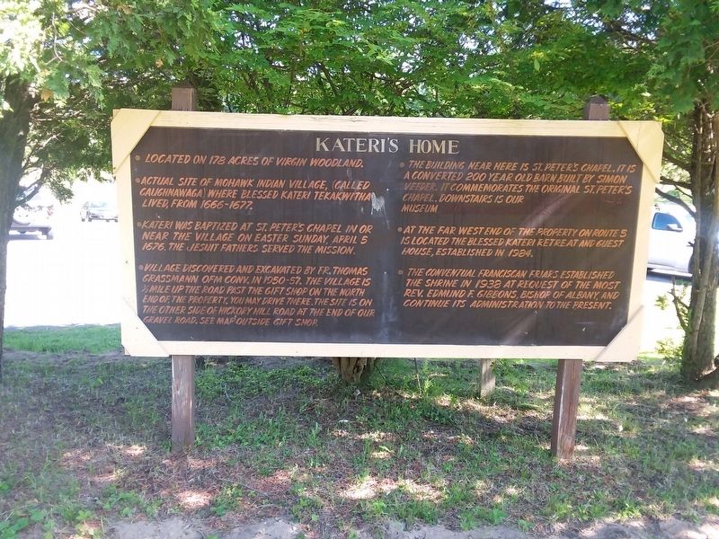
Kateri's Home
Located on 178 acres of virgin woodland.
Actual site of Mohawk Indian Village, (called Caughnawaga) where blessed Kateri Tekakwitha lived, from 1666-1677.
Kateri was baptized at St. Peters Chapel in or near the village on Easter Sunday, April 5 1676. The Jesuit Fathers served the mission.
Village discovered and excavated by Fr. Thomas Grassmann OFM Conv. in 1950-57. The village is ½ mile up the road past the gift shop on the north end of the property. You may drive there. The site is on the other side of Hickory Hill Road at the end of our gravel road. See map outside gift shop
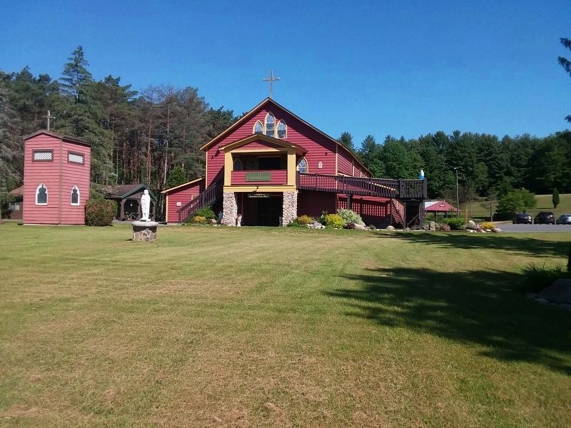
The building near here is St. Peters Chapel . It is a converted 200 year old barn built by Simon Veeder. It commemorates the original St. Peter's Chapel. Downstairs is our museum.
At the far west end of the property on route 5 is located the Blessed Kateri Retreat and guest house, established in 1984.
The Conventual Franciscan Friars established
the shrine in 1938 at request of the most
Rev. Edmund F. Gibbons, bishop of Albany, and
continue its administration to the present.
Topics. This historical marker is listed in these topic lists: Churches & Religion • Native Americans • Settlements & Settlers. A significant historical date for this entry is April 5, 1676.
Location.
Other nearby markers. At least 8 other markers are within walking distance of this marker. A Liberty Pole (a few steps from this marker); Liberty Pole (a few steps from this marker); Veeder Home (approx. 0.2 miles away); Caughnawaga (approx. ¼ mile away); Caughnawaga Castle Site (approx. 0.3 miles away); a different marker also named Caughnawaga (approx. 0.3 miles away); Mohawk Area (approx. 0.4 miles away); Johnson Hall - 1763 (approx. half a mile away). Touch for a list and map of all markers in Fonda.
Credits. This page was last revised on December 12, 2020. It was originally submitted on December 12, 2020, by Craig Doda of Napoleon, Ohio. This page has been viewed 210 times since then and 27 times this year. Photos: 1, 2. submitted on December 12, 2020, by Craig Doda of Napoleon, Ohio. • Devry Becker Jones was the editor who published this page.
Editor’s want-list for this marker. A wide shot of the marker in context. • Can you help?

