Road Grader
National Route 66 Museum & Old Town Museum
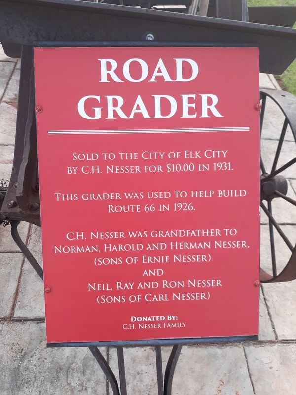
Sold to the city of Elk City by C.H. Nesser for $10.00 in 1931.
This grader was used to help build Route 66 in 1926.
C.H. Nesser was grandfather to Norman, Harold and Herman Nesser,
(sons of Ernie Nesser) and Neil, Ray and Ron Nesser (sons of Carl Nesser)
Erected by C.H. Nesser Family.
Topics and series. This historical marker is listed in this topic list: Roads & Vehicles. In addition, it is included in the U.S. Route 66 series list. A significant historical year for this entry is 1931.
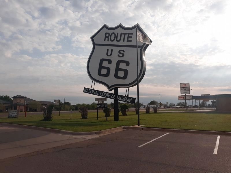
Location. 35° 24.732′ N, 99° 26.242′ W. Marker is in Elk City, Oklahoma, in Beckham County. It is on U.S. 66, on the left when traveling east. The marker is on the grounds of the National Route 66 Museum. Touch for map. Marker is in this post office area: Elk City OK 73648, United States of America. Touch for directions.
Regionally, this marker is in Southwest Oklahoma—Great Plains Country. It is also in the American South, specifically on the prairies, and on the Southern Plains. Globally, it is in North America, the Western Hemisphere, the Western World, and the Anglosphere. Historically, it finds itself in what
this page online
Other nearby markers. At least 8 other markers are within walking distance of this marker: National Route 66 Museum and Old Town Museum Complex, Elk City, Oklahoma (within shouting distance of this marker); 018 Cowtown (within shouting distance of this marker); Gas Pump (within shouting distance of this marker); Bob Potter · Mel Patterson · I.A. "Pat" Patterson (within shouting distance of this marker); Cruze Farm House History (about 300 feet away, measured in a direct line); First Wooden Home (about 400 feet away); "Western Cattle Trail" (about 400 feet away); Rock Bluff School (about 400 feet away). Touch for a list and map of all markers in Elk City.

Credits. This page was last revised on December 13, 2020. It was originally submitted on December 13, 2020, by Craig Doda of Napoleon, Ohio. This page has been viewed 413 times since then and 18 times this year. Photos: 1, 2, 3. submitted on December 13, 2020, by Craig Doda of Napoleon, Ohio. • J. Makali Bruton was the editor who published this page.
