Cooperstown in Otsego County, New York — The American Northeast (Mid-Atlantic)
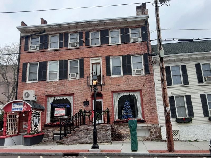
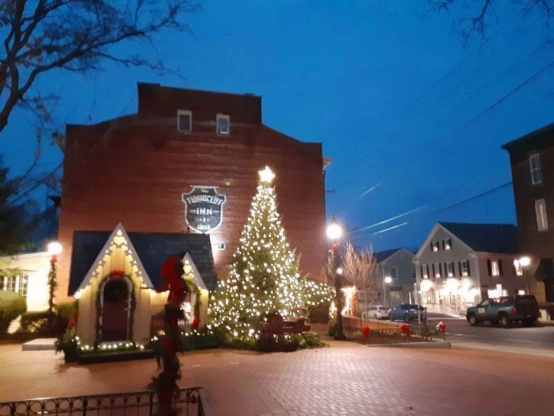
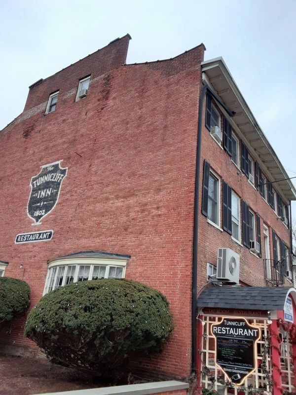
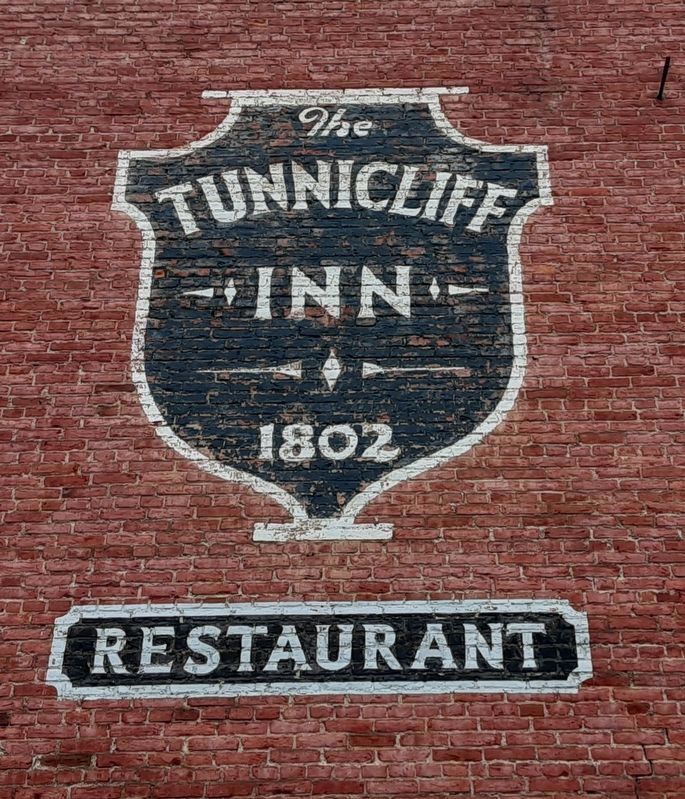
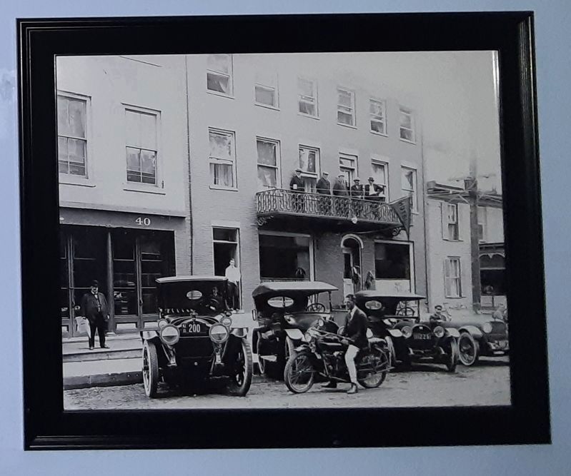
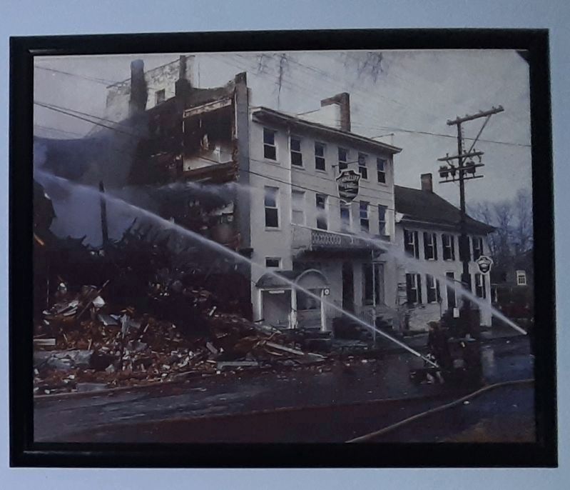
Tunnicliff Inn
— 1802 —
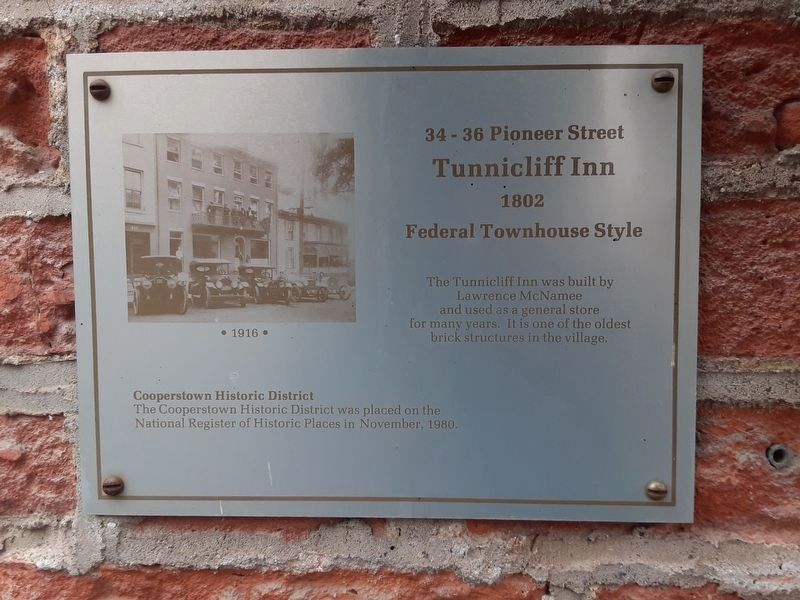
Photographed By Scott J. Payne, December 12, 2020
1. Tunnicliff Inn Marker
Inn website homepage
Click for more information.
Click for more information.
Tunnicliff Inn
1802
Federal Townhouse Style
Cooperstown Historic District
The Cooperstown Historic District was placed on the National Register of Historic Places in November, 1980.
Erected 1980.
Topics. This historical marker is listed in this topic list: Architecture. A significant historical month for this entry is November 1980.
Location. 42° 42.055′ N, 74° 55.459′ W. Marker is in Cooperstown, New York, in Otsego County. Marker is on Pioneer Street north of Main Street, on the left when traveling north. Touch for map. Marker is at or near this postal address: 34-36 Pioneer Street, Cooperstown NY 13326, United States of America. Touch for directions.
Other nearby markers. At least 8 other markers are within walking distance of this marker. Pioneer Alley (about 300 feet away, measured in a direct line); Hoffman Lane (about 300 feet away); Doubleday Field (about 400 feet away); Site of the First National Baseball Hall of Fame Induction (about 400 feet away); Fair Street (about 500 feet away); George Croghan (about 600 feet away); Otsego Hall (about 700 feet away); a different marker also named Doubleday Field (about 700 feet away). Touch for a list and map of all markers in Cooperstown.
Credits. This page was last revised on November 4, 2021. It was originally submitted on December 13, 2020, by Scott J. Payne of Deposit, New York. This page has been viewed 305 times since then and 22 times this year. Photos: 1, 2, 3, 4, 5. submitted on December 13, 2020, by Scott J. Payne of Deposit, New York. 6, 7. submitted on December 18, 2020, by Scott J. Payne of Deposit, New York. • Michael Herrick was the editor who published this page.
