Bardstown in Nelson County, Kentucky — The American South (East South Central)
Ferguson Chapel Site
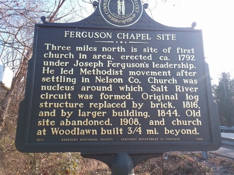
Photographed by Craig Doda, December 22, 2018
1. Ferguson Chapel Site Marker
Erected 1977 by Kentucky Historical Society. (Marker Number 1066.)
Topics and series. This historical marker is listed in this topic list: Religion & Religious Structures. In addition, it is included in the Kentucky Historical Society series list. A significant historical year for this entry is 1792.
Location. 37° 47.083′ N, 85° 24.05′ W. Marker is in Bardstown, Kentucky, in Nelson County. It is at the intersection of Springfield Road (U.S. 150) and Poplar Flat Road (State Highway 605), on the right when traveling north on Springfield Road. Touch for map. Marker is at or near this postal address: 4321 Springfield Rd, Bardstown KY 40004, United States of America. Touch for directions.

Regionally, this marker is in Greater Louisville Area. It
this page online
Other nearby markers. At least 8 other markers are within 4 miles of this marker, measured as the crow flies: 2015 Flag Dedication (approx. 3.3 miles away); Slave Population & Deaths (approx. 3.3 miles away); Slave Assignments & Trades (approx. 3.3 miles away); My Old Kentucky Home (approx. 3.3 miles away); The Enslaved as Property (approx. 3.3 miles away); Abolitionism, War, Emancipation (approx. 3.3 miles away); Mack Rowan (approx. 3.3 miles away); Federal Hill (approx. 3.4 miles away). Touch for a list and map of all markers in Bardstown.
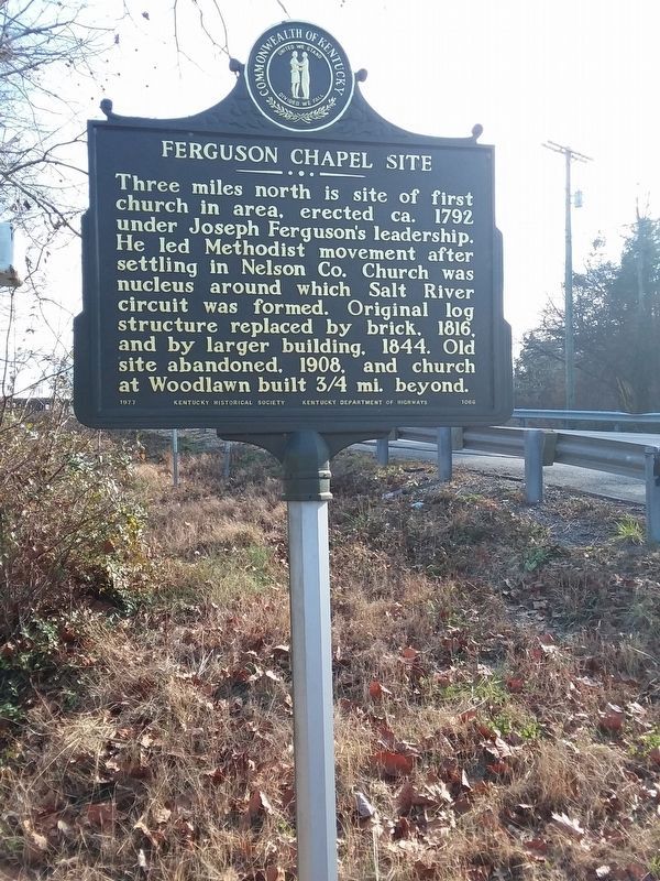
Photographed by Craig Doda, December 22, 2018
2. Ferguson Chapel Site Marker
Credits. This page was last revised on December 14, 2020. It was originally submitted on December 13, 2020, by Craig Doda of Napoleon, Ohio. This page has been viewed 577 times since then and 49 times this year. Photos: 1, 2. submitted on December 13, 2020, by Craig Doda of Napoleon, Ohio. • Devry Becker Jones was the editor who published this page.
