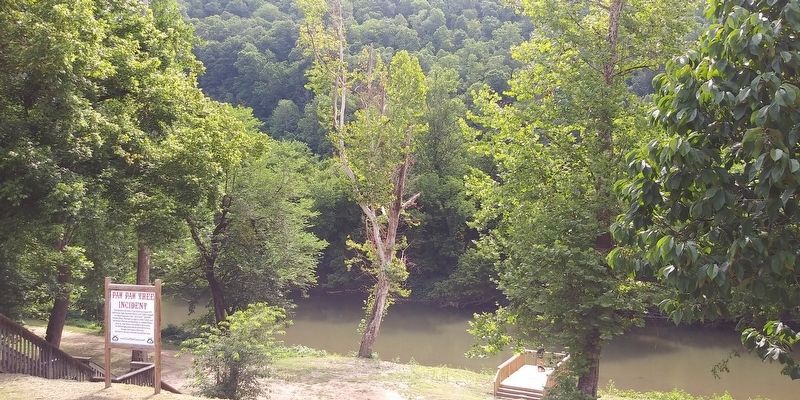
Buskirk in Pike County, Kentucky — The American South (East South Central)
Paw Paw Tree Incident
Erected by TourPikeCounty.com.
Topics and series. This historical marker is listed in these topic lists: Disasters • Law Enforcement. In addition, it is included in the The Hatfield-McCoy Feud series list. A significant historical month for this entry is August 1882.
Location. 37° 37.1′ N, 82° 9.917′ W. Marker is in Buskirk, Kentucky, in Pike County. Marker is on Kentucky Route 1056 just south of River Street, on the right when traveling north. In a park. Touch for map. Marker is at or near this postal address: 20 Radio Hill St, Mc Carr KY 41544, United States of America. Touch for directions.
Other nearby markers. At least 8 other markers are within walking distance of this marker. Pawpaw Tree Incident (within shouting distance of this marker); Matewan Massacre (approx. 0.3 miles away in West Virginia); Working Together for One Another (approx. 0.3 miles away in West Virginia); Cecil E. Roberts Building (approx. 0.3 miles away in West Virginia); M.E. South Church (approx. 0.3 miles away in West Virginia); a different marker also named Matewan Massacre (approx. 0.3 miles away in West Virginia); The Battle of Matewan (approx. 0.3 miles away in West Virginia); Mingo County / State of Kentucky (approx. 0.3 miles away in West Virginia).
Credits. This page was last revised on December 14, 2020. It was originally submitted on December 13, 2020, by Craig Doda of Napoleon, Ohio. This page has been viewed 1,611 times since then and 202 times this year. Photos: 1, 2. submitted on December 13, 2020, by Craig Doda of Napoleon, Ohio. • Devry Becker Jones was the editor who published this page.

