Stanton in Mercer County, North Dakota — The American Midwest (Upper Plains)
Earthlodges
Fort Clark State Historic Site
Photographed By Barry Swackhamer, August 28, 2020
1. Earthlodges Marker
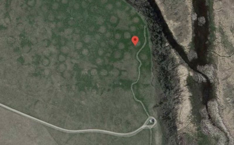
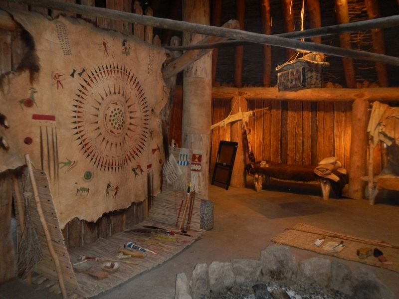
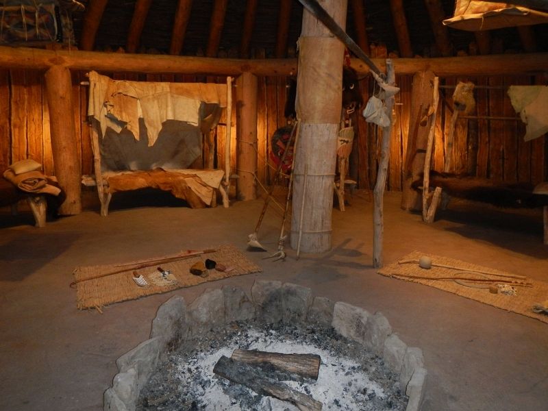
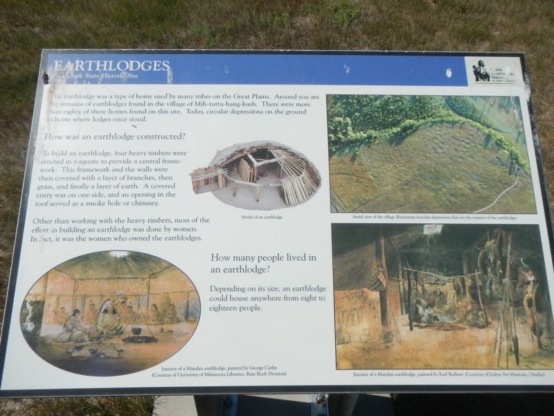
Captions: (bottom left) Interior of a Mandan earthlodge, painted by George Catlin; (upper center) Model of an earthlodge; (top right) Aerial view of the village illustrating circular depressions that are the remains of earthlodges; (bottom right) Interior of a Mandan earthlodge, painted by Karl Bodmer.
The earthlodge was a type of home used by many tribes on the Great Plains. Around you are the remains of earthlodges found in the village of Mih-tutta-hang-kush. There were more than eighty of these homes found on this site. Today, circular depressions on the ground indicate where lodges once stood.
How was an earthlodge constructed?
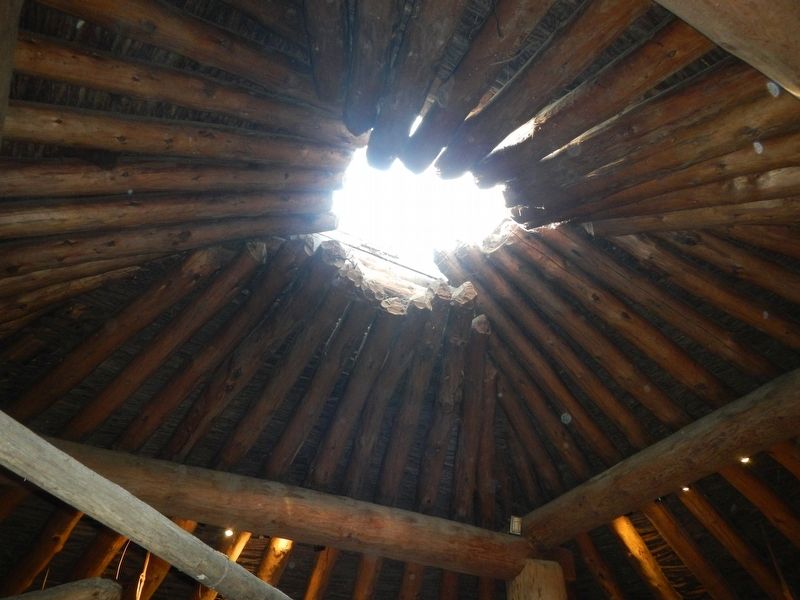
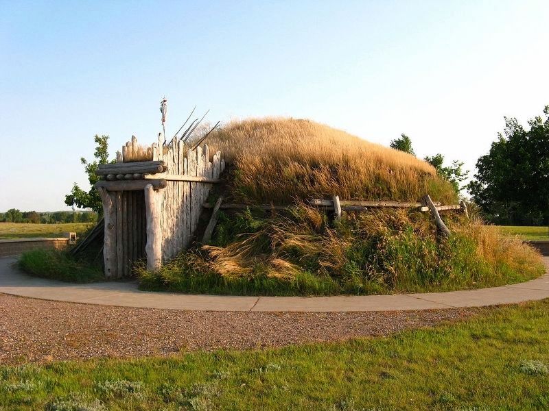
To build an earthlodge, four heavy timbers were erected in a square to provide a central frame-work. This frame-work and the walls were then covered with a layer of branches, then grass and finally a layer of earth. A covered entry was on one side, and an opening in the roof served as a smoke hole or chimney.
Other than working with the heavy timbers, most of the effort in building an earthlodge was done by women. In fact, it was the women who owned the earthlodges.
How many people lived in an earthlodge?
Depending on its size, an earthlodge could house anywhere from eight to eighteen people.
Erected by State Historical Society of North Dakota.
Topics. This historical marker is listed in these topic lists: Native Americans • Settlements & Settlers.
Location. 47° 15.184′ N, 101° 16.39′ W. Marker is in Stanton , North Dakota, in Mercer County. Marker can be reached from 37th Avenue Southwest near 12th Street Southwest (State Highway 200), on the right when traveling north. The marker is located at the Fort Clark State Historic Site. Touch for map. Marker is in this post office area: Stanton ND 58571, United States of America. Touch for directions.
Other nearby markers. At least 8 other markers are within walking distance of this marker. Mandans and Arikaras of the Village (within shouting distance of this marker); Fort Mandan Overlook (within shouting distance of this marker); Smallpox and the Central Plaza (within shouting distance of this marker); Stone Shelter (about 400 feet away, measured in a direct line); Winter Villages and Lodges (about 400 feet away); Missouri Valley Environs (about 500 feet away); Corrals (about 500 feet away); Fort Clark (circa 1830-1860) (about 600 feet away). Touch for a list and map of all markers in Stanton.
Also see . . . Hidatsa Mandan Arikara Earth Lodges. Native American Indian Resources website entry:
This housing section is a counterstatement to the widespread non-Indian teaching of our history and culture by playing dress-up Indian in fake costumes, and building trashcraft toy models of traditional housing. (Submitted on December 14, 2020, by Barry Swackhamer of Brentwood, California.)
Photographed By Wikipedia, unknown
3. Earthlodge, modern replica
Traditional earth lodges of the Great Plains
Field Stud of the World website entry:
Click for more information.
Field Stud of the World website entry:
Click for more information.
Credits. This page was last revised on April 24, 2022. It was originally submitted on December 14, 2020, by Barry Swackhamer of Brentwood, California. This page has been viewed 98 times since then and 18 times this year. Photos: 1, 2, 3, 4, 5, 6. submitted on December 14, 2020, by Barry Swackhamer of Brentwood, California.
