Near Yancey in Frio County, Texas — The American South (West South Central)
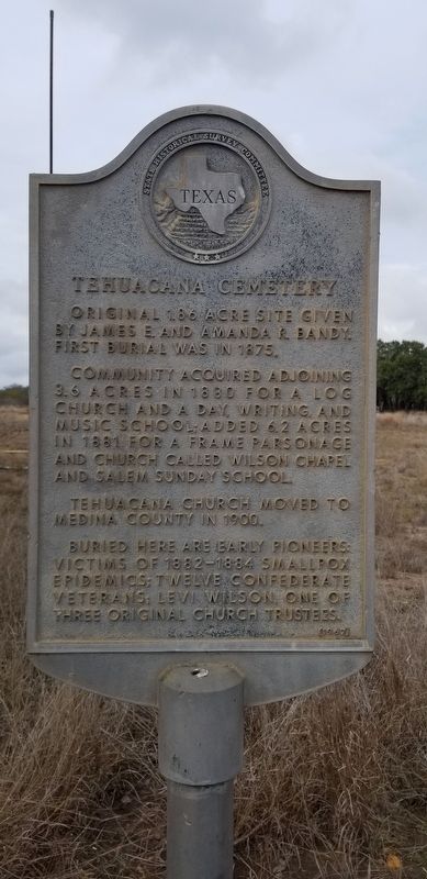
Tehuacana Cemetery
Original 1.86 acre site given by James E. and Amanda R. Bandy. First burial was in 1875. Community acquired adjoining 3.6 acres in 1880 for a log church and a day, writing, and music school; added 6.2 acres in 1881 for a frame parsonage and church called Wilson Chapel and Salem Sunday School. Tehuacana Church moved to Medina County in 1900. Buried here are early pioneers: victims of 1882-1884 smallpox epidemics; twelve Confederate veterans; Levi Wilson, one of three original church trustees.
Erected 1967 by State Historical Survey Committee. (Marker Number 5217.)
Topics. This historical marker is listed in these topic lists: Cemeteries & Burial Sites • Settlements & Settlers. A significant historical year for this entry is 1875.
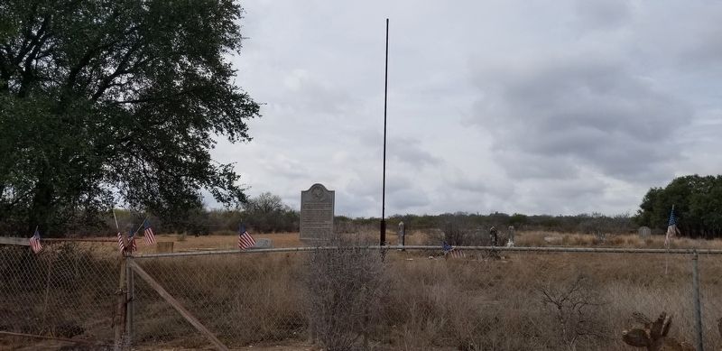
Location. 29° 5.325′ N, 99° 7.184′ W. Marker is near Yancey, Texas, in Frio County. Marker is on Yancey Road (County Highway 1301) one mile north of County Highway 1520, on the right when traveling south. Touch for map. Marker is in this post office area: Yancey TX 78886, United States of America. Touch for directions.
Other nearby markers. At least 8 other markers are within 12 miles of this marker, measured as the crow flies. Yancey, Texas (approx. 3.7 miles away); Yancey United Methodist Church (approx. 3.8 miles away); Moore Catholic Cemetery (approx. 7 miles away); Moore Cemetery (approx. 7.6 miles away); Black Creek Baptist Church (approx. 8.9 miles away); Biry Bridge (approx. 9˝ miles away); Frio County (approx. 11 miles away); The Upper Presidio Road (approx. 11.4 miles away). Touch for a list and map of all markers in Yancey.
Also see . . . Epidemic Diseases. The Handbook of Texas (Submitted on December 15, 2020, by James Hulse of Medina, Texas.)
Credits. This page was last revised on October 20, 2022. It was originally submitted on December 15, 2020, by James Hulse of Medina, Texas. This page has been viewed 292 times since then and 53 times this year. Photos: 1, 2, 3. submitted on December 16, 2020, by James Hulse of Medina, Texas. • J. Makali Bruton was the editor who published this page.


