Mineral del Monte, Hidalgo, Mexico — The Central Highlands (North America)
Acosta Mine
Mina de Acosta
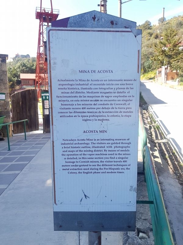
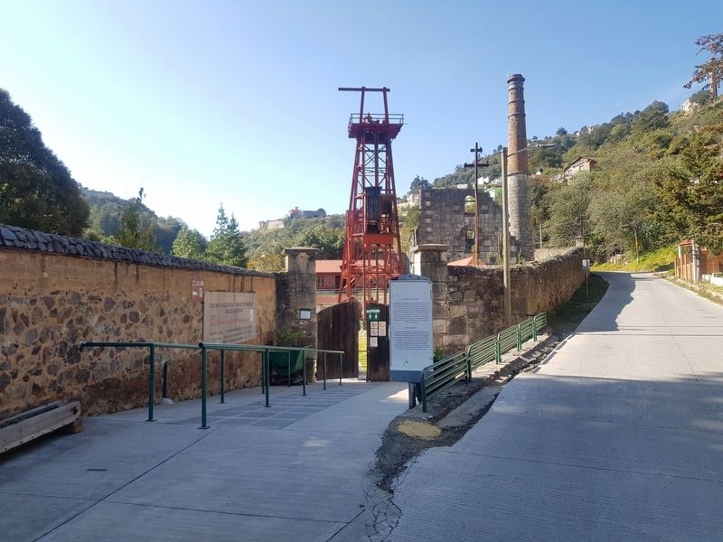
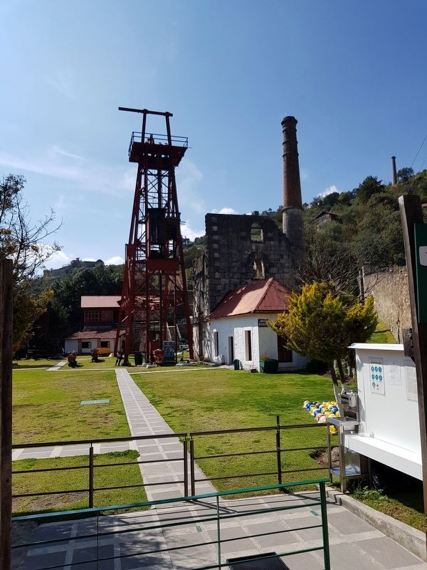
Actualmente la Mina de Acosta es un interesante museo de arqueologia industrial el recorrido inicia con una breve reseña histórica, ilustrada con fotografías y planos de las minas del distrito. Mediante maquetas se detalla el funcionamiento de las maquinas de vapor empleadas en la minería, en esta misma sección se encuentra un singular homenaje a los mineros del condado de Cornwall, el visitante recorre 400 metros por debajo de la tierra para conocer las diferentes técnicas de la extracción de metales utilizados en la época prehispánica, la colonia, la etapa inglesa y la moderna.
English:
Acosta Mine
Nowadays Acosta Mine is an interesting museum of industrial archaeology. The visitors are guided through a brief historic outline, illustrated with photographs and maps of the mining district. By means of models the operation of the vapor machines used in the mines is detailed, in this same section you find a singular homage to Cornish miners, the visitor travels 400 meters under ground to see the different techniques of metal extraction used during the Pre-Hispanic era, the Colony, the English phase and modern times.
Topics. This historical marker is listed in these topic lists: Colonial Era • Industry & Commerce.
Location. 20° 8.816′ N, 98° 40.056′ W. Marker is in Mineral del Monte, Hidalgo. Marker is on Guerrero just east of La Tlaxcalera, on the left when traveling south. Touch for map. Marker is in this post office area: Mineral del Monte HGO 42130, Mexico. Touch for directions.
Other nearby markers. At least 8 other markers are within walking distance of this marker. Emmanuel Methodist Temple (approx. 0.8 kilometers away); Church of Our Lady of the Rosary (approx. 0.9 kilometers away); House of the Count (approx. 0.9 kilometers away); Formation of the National Miner's Union in 1934 (approx. 0.9 kilometers away); Sanctuary of Our Lord of Zelontla (approx. one kilometer away); Holy Cross Church (approx. one kilometer away); Cornish Miners in Mexico (approx. one kilometer away); Museum of Labor Medicine "Nicolás Zavala" (approx. one kilometer away). Touch for a list and map of all markers in Mineral del Monte.
Credits. This page was last revised on December 16, 2020. It was originally submitted on December 16, 2020, by J. Makali Bruton of Accra, Ghana. This page has been viewed 80 times since then and 8 times this year. Photos: 1, 2, 3. submitted on December 16, 2020, by J. Makali Bruton of Accra, Ghana.


