Whiteley Township near Garards Fort in Greene County, Pennsylvania — The American Northeast (Mid-Atlantic)
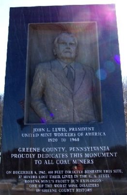
Greene County Coal Miners Memorial
Photographed by William Fischer, Jr., January 31, 2009
1. Greene County Coal Miners Memorial
United Mine Workers of America
1920 to 1960
Greene County, Pennsylvania
proudly dedicates this monument
to all coal miners
On December 6, 1962, 460 feet directly beneath this site,
37 miners lost their lives in the U.S. Steel
Robena Mine's Frosty Run Explosion -
one of the worst mine disasters
in Greene County history.
Erected by Greene County.
Topics. This historical marker and memorial is listed in these topic lists: Disasters • Industry & Commerce. A significant historical date for this entry is December 6, 1962.
Location. 39° 47.777′ N, 80° 4.562′ W. Marker is near Garards Fort, Pennsylvania, in Greene County. It is in Whiteley Township. It is on Interstate 79, on the right when traveling north. Marker is next to the Pennsylvania Welcome Center/Rest Area near Kirby PA. Touch for map. Marker is in this post office area: Garards Fort PA 15334, United States of America. Touch for directions.

Regionally, this marker and memorial is in the American Northeast, in the Mid-Atlantic, in Appalachia, and in Northern Appalachia. Globally, it is in North America, the Western Hemisphere, the Western World, and the Anglosphere. Historically, it finds itself in what was once the Haudenosaunee (Iroquois) Confederacy and also one of the original Thirteen Colonies.
Other nearby markers. At least 8 other markers are within 4 miles of this marker, measured as the crow flies: White Covered Bridge (approx. 1.1 miles away); Garard's Fort (approx. 2.8 miles away); Rev. John Corbley (approx. 3.1 miles away); Fort Garard (approx. 3.1 miles away); Goshen Baptist Church (approx. 3.2 miles away); Corbly Massacre Monument (approx. 3.3 miles away); In Remembrance of John Corbly and Family (approx. 3.3 miles away); Greene Township Veterans Memorial (approx. 3.4 miles away). Touch for a list and map
this page online
Photographed by Mark Parker, October 26, 2020
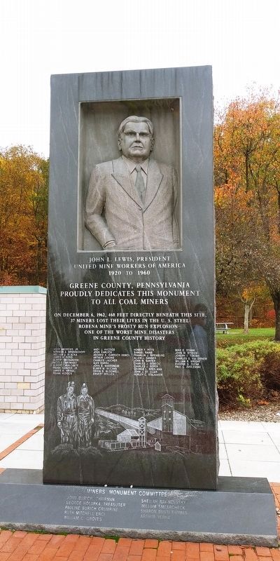
2. Full view of Greene County Coal Miners Memorial
Photographed by William Fischer, Jr., January 31, 2009
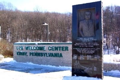
3. Greene County Coal Miners Memorial
Photographed by Devry Becker Jones (CC0), April 21, 2022
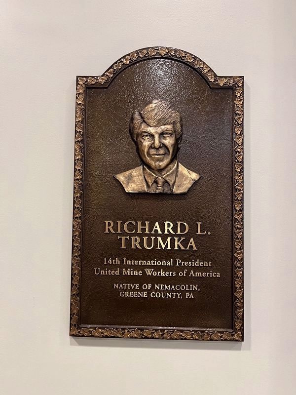
4. Richard L. Trumka plaque inside of the rest area building
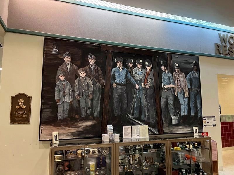
Photographed by Devry Becker Jones (CC0), April 21, 2022
5. Display inside of the rest area building
Credits. This page was last revised on March 6, 2025. It was originally submitted on February 19, 2009, by William Fischer, Jr. of Reynoldsburg, Ohio. This page has been viewed 5,020 times since then and 210 times this year. Photos: 1. submitted on February 19, 2009, by William Fischer, Jr. of Reynoldsburg, Ohio. 2. submitted on March 1, 2025, by Mark Parker of Hickory, North Carolina. 3. submitted on February 19, 2009, by William Fischer, Jr. of Reynoldsburg, Ohio. 4, 5. submitted on April 23, 2022, by Devry Becker Jones of Washington, District of Columbia. • Bill Pfingsten was the editor who published this page.
