Conway in Carroll County, New Hampshire — The American Northeast (New England)
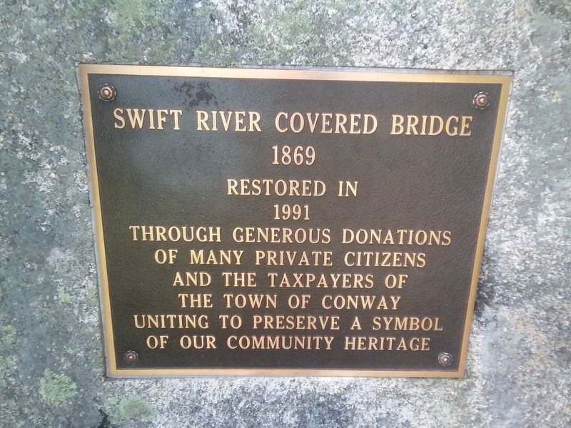
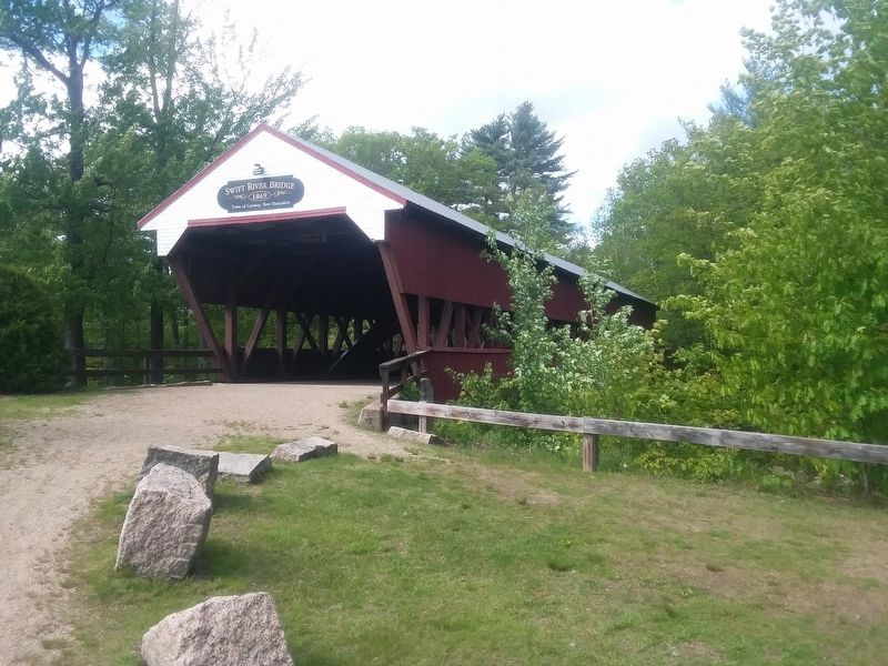
Swift River Covered Bridge
1869
1991
Through generous donations
of many private citizens
and the taxpayers of
the Town of Conway
uniting to preserve a symbol
of our community heritage.
Topics and series. This historical marker is listed in this topic list: Bridges & Viaducts. In addition, it is included in the Covered Bridges series list. A significant historical year for this entry is 1991.
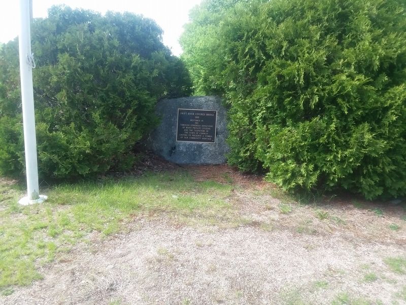
Location. 43° 59.084′ N, 71° 7.176′ W. Marker is in Conway, New Hampshire, in Carroll County. Marker is at the intersection of West Side Road and Hillside Avenue, on the right when traveling north on West Side Road. Touch for map. Marker is in this post office area: Conway NH 03818, United States of America. Touch for directions.
Other nearby markers. At least 8 other markers are within 5 miles of this marker, measured as the crow flies. Kancamagus Highway / Who was Kancamagus? (approx. 3 miles away); Schouler Park (approx. 4.6 miles away); Ball Signal (approx. 4.7 miles away); The Railroad Station (approx. 4.7 miles away); Crossing Gate (approx. 4.7 miles away); Wig Wag Signal (approx. 4.7 miles away); To Those Who Served in the World War (approx. 4.7 miles away); Roundhouse (approx. 4.7 miles away).
Also see . . . Swift River (Saco River tributary) (Wikipedia). (Submitted on December 20, 2020, by Michael Herrick of Southbury, Connecticut.)
Credits. This page was last revised on February 16, 2023. It was originally submitted on December 16, 2020, by Craig Doda of Napoleon, Ohio. This page has been viewed 199 times since then and 27 times this year. Photos: 1, 2, 3. submitted on December 16, 2020, by Craig Doda of Napoleon, Ohio. • Michael Herrick was the editor who published this page.


