Petersburg in Grant County, West Virginia — The American South (Appalachia)
Grant County / Hardy County
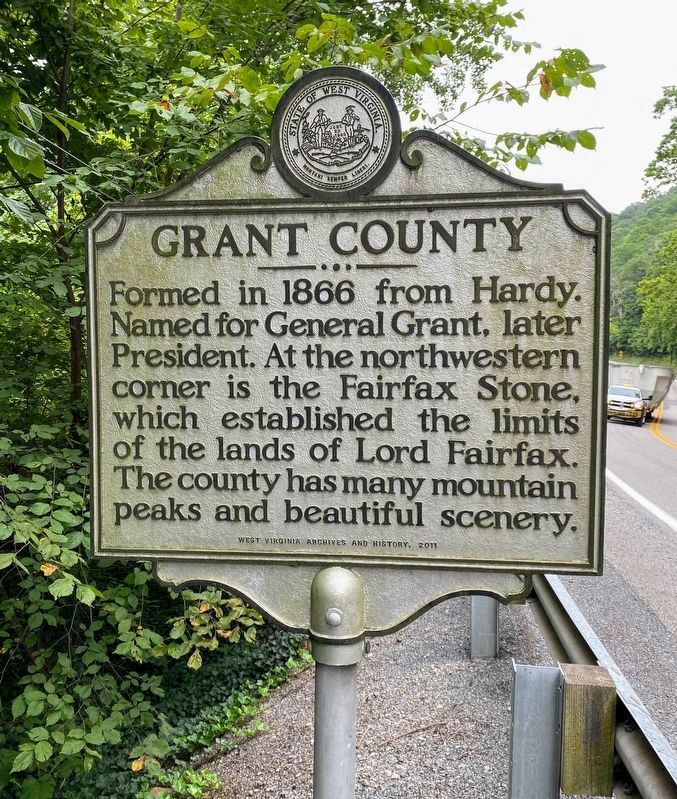
Grant County. Formed in 1866 from Hardy. Named for General Grant, later President. At the northwestern corner is the Fairfax Stone, which established the limits of the lands of Lord Fairfax. The county has many mountain peaks and beautiful scenery.
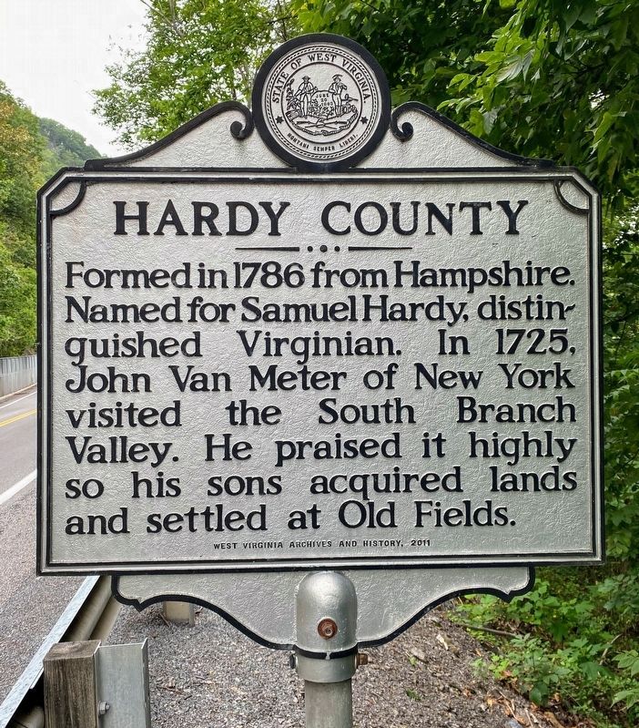
Hardy County. Formed in 1786 from Hampshire. Named for Samuel Hardy, distinguished Virginian. In 1725, John Van Meter of New York visited the South Branch Valley. He praised it highly so his sons acquired lands and settled at Old Fields.
Erected 2011 by West Virginia Archives & History.
Topics and series. This historical marker is listed in these topic lists: Colonial Era • Government & Politics • Political Subdivisions • Settlements & Settlers. In addition, it is included in the Former U.S. Presidents: #18 Ulysses S. Grant, and the West Virginia Archives and History series lists. A significant historical year for this entry is 1866.
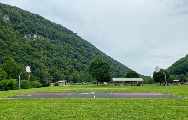
Location. 39° 0.126′ N, 79° 4.971′ W. Marker is in Petersburg, West Virginia, in Grant County. Marker is on U.S. 220, 0.2 miles west of Rig Road (County Road 10), on the left when traveling west. To access the marker, park at one of the parking lots at Vernon W. Welton Park, and walk along US-220. Be alert and careful around fast-moving traffic on US-220. Touch for map. Marker is in this post office area: Petersburg WV 26847, United States of America. Touch for directions.
Other nearby markers. At least 8 other markers are within 3 miles of this marker, measured as the crow flies. Welton Park (about 600 feet away, measured in a direct line); The Tannery in Petersburg, WV (approx. 2.1 miles away); Fort Mulligan (approx. 2.1 miles away); Maple Hill Cemetery (approx. 2.2 miles away); War in Grant County (approx. 2˝ miles away); a different marker also named Fort Mulligan (approx. 2.9 miles away); Fairfax Line (approx. 2.9 miles away); A Strategic Location (approx. 3 miles away). Touch for a list and map of all markers in Petersburg.
Credits. This page was last revised on December 17, 2020. It was originally submitted on December 17, 2020, by Shane Oliver of Richmond, Virginia. This page has been viewed 172 times since then and 20 times this year. Photos: 1, 2, 3. submitted on December 17, 2020, by Shane Oliver of Richmond, Virginia. • Devry Becker Jones was the editor who published this page.


